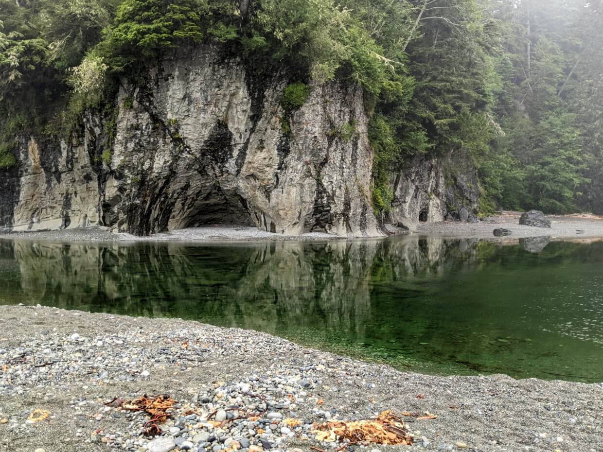
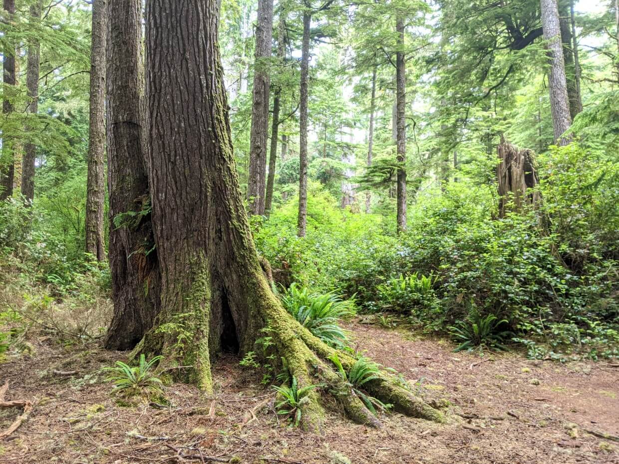
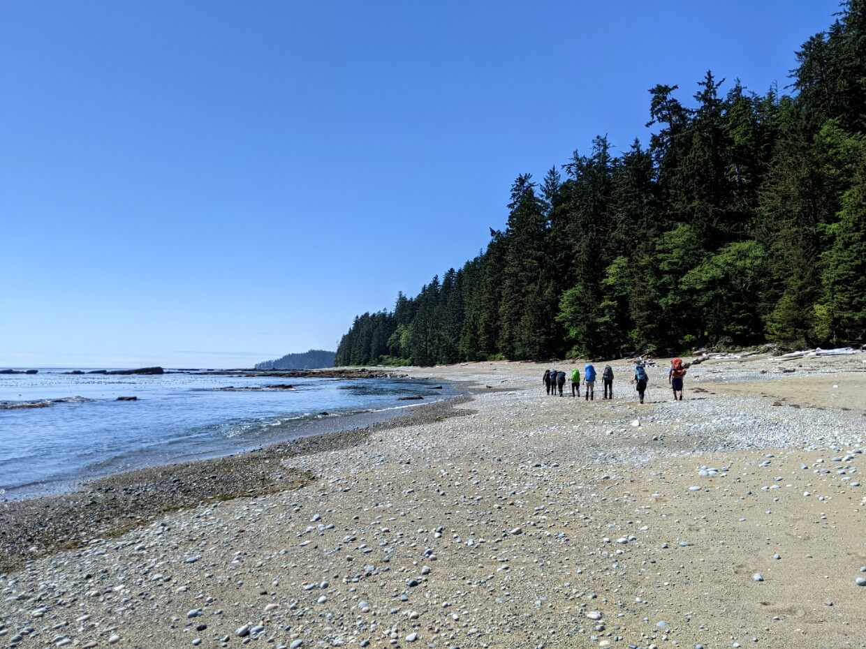
The West Coast Trail offers the chance to explore some of Vancouver Island’s most remote and rugged landscapes.
The majority of WCT hikers spend 6 to 8 days on this challenging 75km long trail, camping at their choice of 12 designated campgrounds along the way.
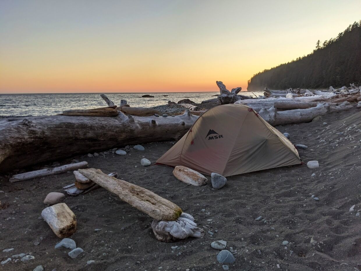
Not just a place to rest overnight, these camping areas heighten the coastal wilderness experience. Think crashing waves, seagulls calls, epic sunsets and even the chance of a whale sighting.
In this post, I’ll share everything you need to know about camping on the West Coast Trail.
It is part of our West Coast Trail series. You may find the other posts helpful:
Complete WCT Hiking Guide
West Coast Trail Packing List: The Best Items to Bring
WCT Transportation Logistics
West Coast Trail Itineraries: 5, 6, 7 + 8 Days

I’ll start with some essential camping tips before giving you the low down on every West Coast Trail campground.
After that, I’ll also tell you about some unofficial West Coast Trail camping locations as well as paid accommodation.
Here’s what to expect:
- Designated WCT campgrounds
- Unofficial campgrounds
- Paid camping and accommodation
- Camping on the West Coast Trail
The West Coast Trail is located on the traditional territory of the Huu-ay-aht, Ditidaht, and Pacheedaht First Nations.

Designated West Coast Trail campgrounds
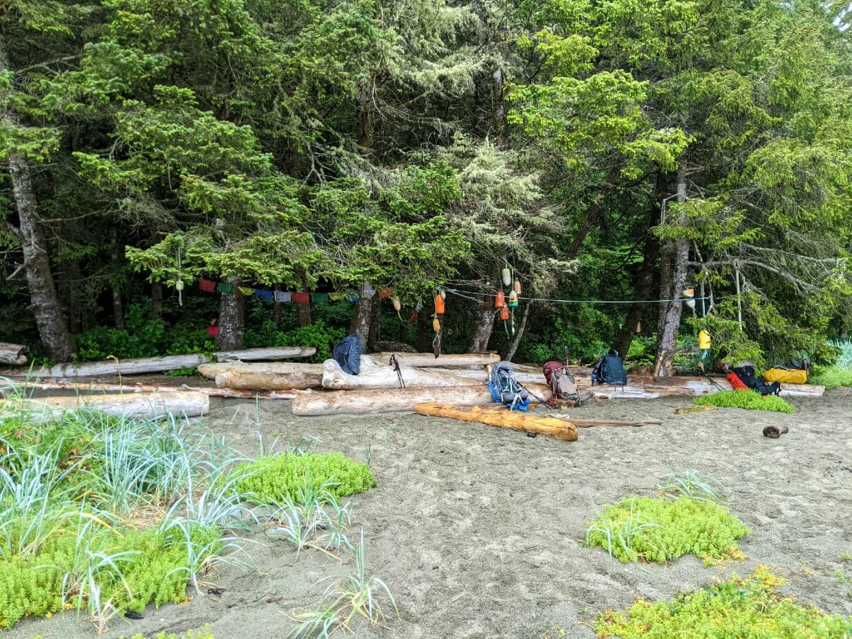
There are twelve designated West Coast Trail campgrounds. All but one have outhouses and food storage facilities.
Technically, you can camp almost anywhere on the West Coast Trail. There are some exceptions, but I’ll talk about them later.
In practice, however, the majority of West Coast Trail hikers use the designated campgrounds.
Assessing West Coast Trail campgrounds
We have personally stayed overnight at six of the designated campgrounds and set aside time to assess the other six.
Please note that facilities can change from year to year, with new outhouses being constructed or moved.
Due to the ever-changing nature of the Pacific Coast, the appearance of the campgrounds can change from year to year as well.
I have noted the popularity of each campground, along with a basic description and my own impressions.
Keep in mind that the latter is completely subjective – you may very well like one of these West Coast Trail campgrounds more than me! So many factors can influence how you feel about a campground, with the weather being a huge one.
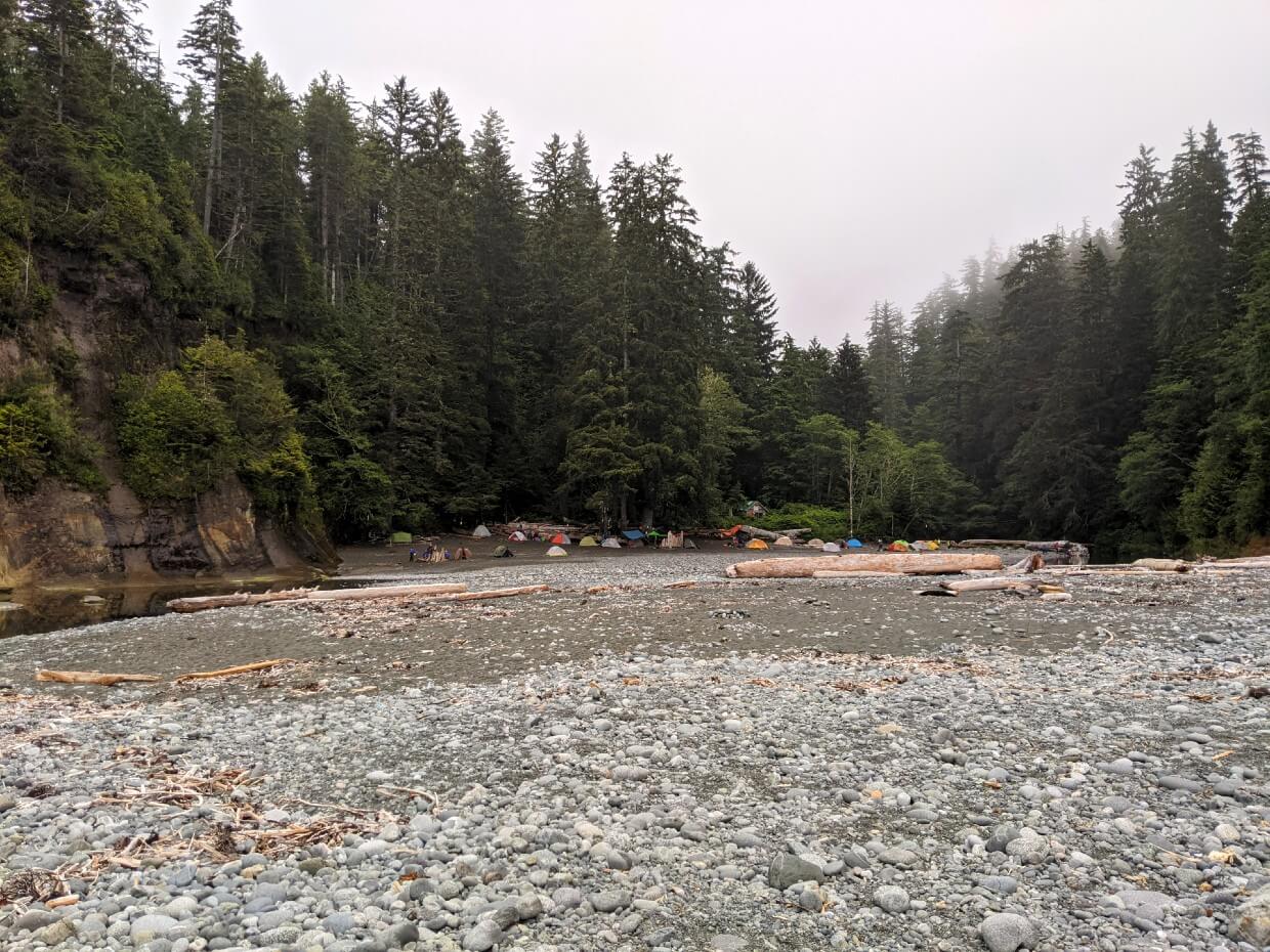
Expect to see 15-25 tents at ‘high’ popularity campgrounds. The lesser-used campgrounds usually have 5 tents or less.
Some lucky hikers manage to camp at some of the quieter campgrounds alone. This never happened for us, even at Tsocowis Creek Camp and Klanawa River Camp which are two of the least used West Coast Trail campgrounds.
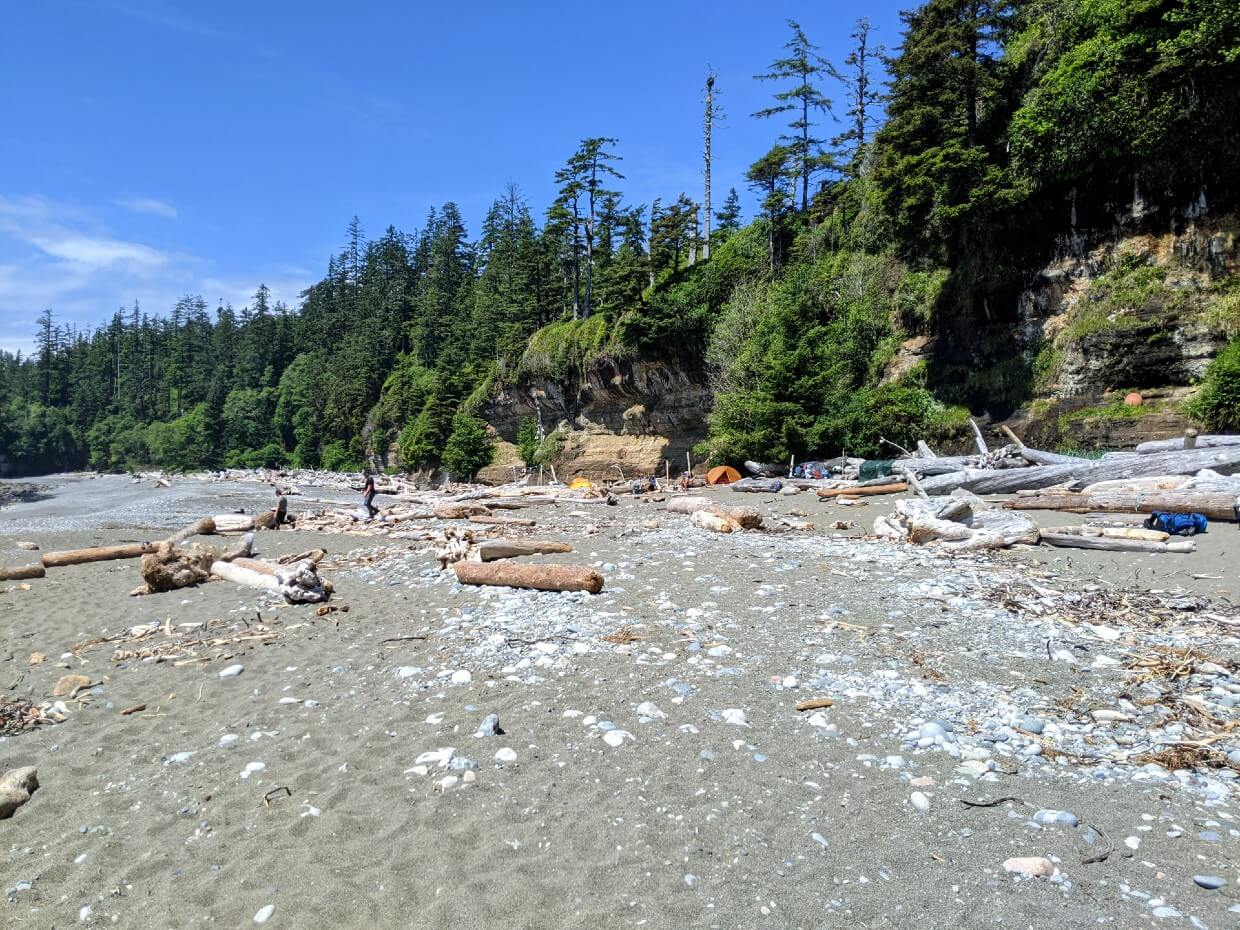
Michigan Creek Camp
Location: 12km from Pachena Bay / 63km from Gordon River
Facilities: One outhouse, two food caches
Water access: Small creek on the southern side of camping area
Camping area: Beach, some forest spots
Popularity: High
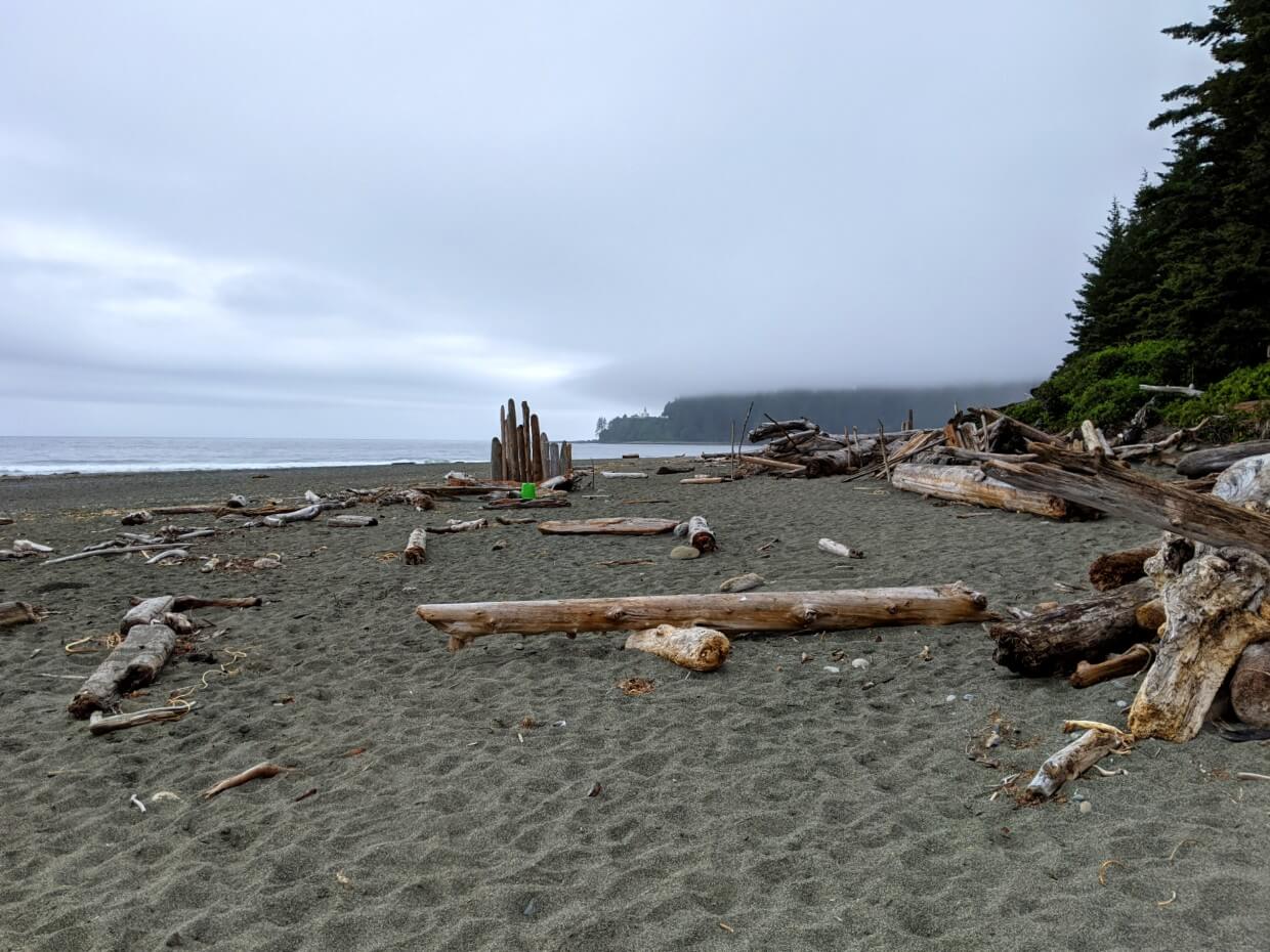
Michigan Creek Camp is the very first or last West Coast Trail campground, depending on which direction you are hiking.
Due to this, it’s a very popular campground. There is, however, quite a lot of space available on the gravel beach (look for the high tide line!) as well as a handful of spots in the forest.
The trail to/from Pachena Bay cuts from the beach through the forest, in the middle of the campground. The beach area to the northern side has a little more privacy for this reason.
In terms of views, Michigan Creek has a headland to the right and far-reaching beach vistas to the left. The camping area of the beach consists of gravel, but there are rockpools and bands of seaweed at low tide.


Darling River Camp
Location: 13.8km from Pachena Bay / 61.2km from Gordon River
Facilities: Two food caches (plus a broken one), one outhouse
Water access: River on the northern side of camping area
Camping area: Beach, some forest spots
Popularity: High
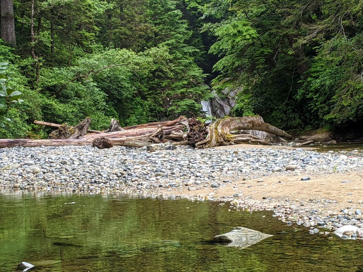
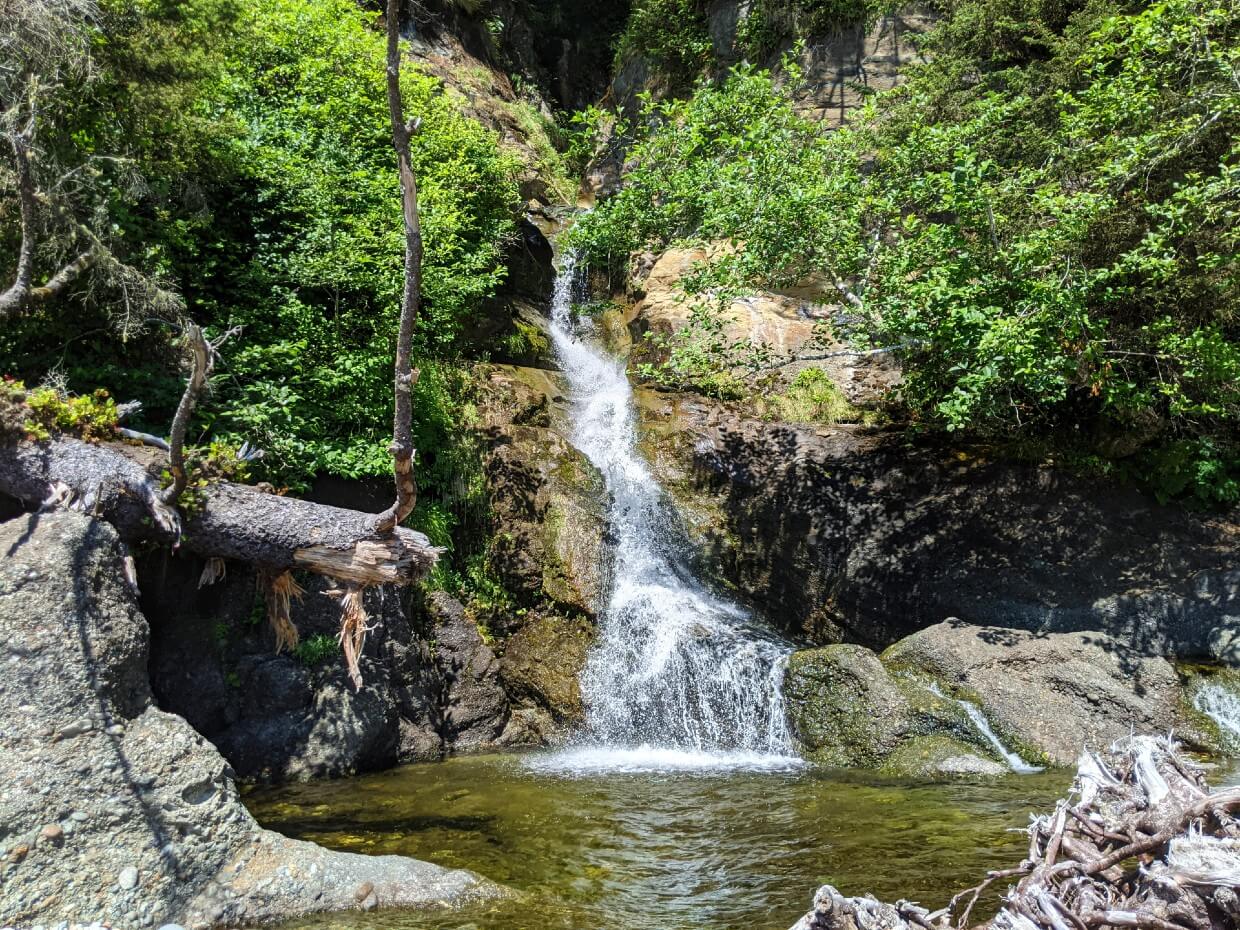
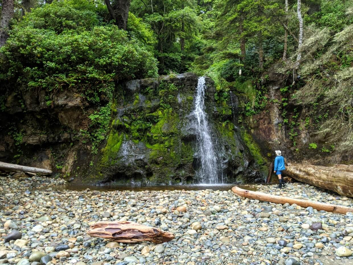
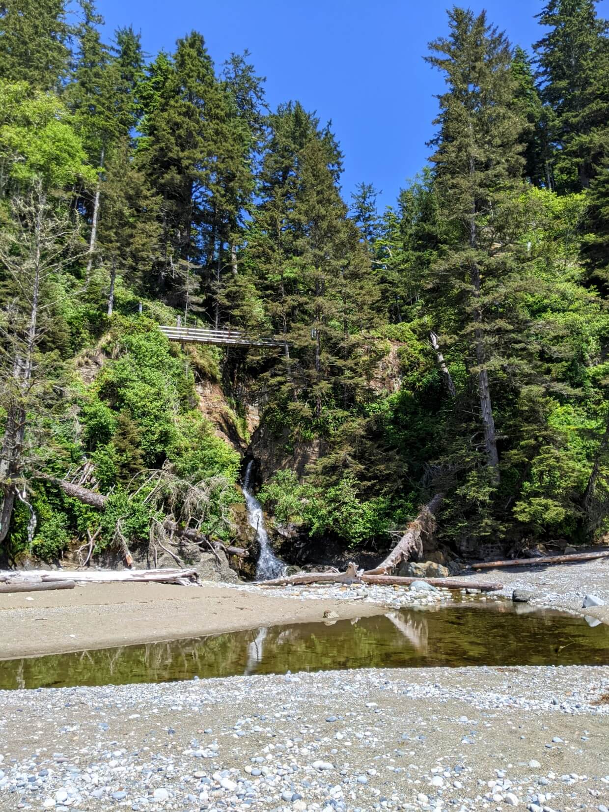
Darling River Camp is just a short walk down the beach from Michigan Creek. It sits next to a wide river, which is quite shallow in summer. Follow the river inland and you’ll find a pretty waterfall.
There is a large beach here, which is sandier than the one found at Michigan Creek. The forest behind the beach can also host a couple of tents.

The panoramic views are a definite highlight of the Darling River Camp. At low tide, walk south to find scattered rock pools filled with tiny crabs.
This campground is not only popular with hikers – a black bear likes this area too.
To avoid negative encounters, Parks Canada closed Darling River Camp for short periods in 2022, 2021 and 2019. If it’s closed, you’ll be advised at your orientation.
Orange Juice Creek Camp
Location: 15km from Pachena Bay / 60km from Gordon River
Facilities: None
Water access: Small creek behind driftwood, north side of camping area
Camping area: Beach, small forest spots
Popularity: Very low
Orange Juice Camp is the only West Coast Trail campground without an outhouse or food storage locker. For this reason, I’m a little surprised this campground is marked on the map and promoted as a place to stay.
Hikers using Orange Juice Camp have to take extra care to store food properly and Leave No Trace when going to the (non-existent) bathroom.
The campground itself is pretty minimal, with a stretch of beach space above the high tide line as well as a few small spots in the forest.
Being less used, Orange Juice Creek Camp is definitely less identifiable as a campground. It is a bit of a ‘blink and you may miss it’ place.
Just past the main campground area is a huge driftwood pile, which signifies the mouth of Orange Juice Creek itself.

Tsocowis Creek Camp
Location: 16.8km from Pachena Bay / 58.2km from Gordon River
Facilities: Outhouse with stairs, food cache
Water access: Creek and waterfall, south side of camping area
Camping area: Beach
Popularity: Low
Tsocowis Creek Camp is situated right at the end of the long coastal section from the Michigan River. There’s a pretty headland to the south and great beach views to the north.
Camping is available on the beach only. The wide sandy beach is scattered with driftwood, which provides nicely divided tent spots. There is a First Nations Guardian cabin behind the beach, but it’s not visible from the main camping area.

Tsocowis Creek arrives on the beach as a waterfall. We considered swimming but noticed some metal shipwreck remains in the pool. There is, however, a couple of nice camp spots right next to the waterfall.
Beautiful and quiet, Tsocowis Creek Camp is my favourite West Coast Trail campground. It’s harder to fit into the standard WCT 6/7 day itinerary but for us, it was worth it. We hiked from Tsocowis Creek to Pachena Bay (16.8km) in five hours, with plenty of stops.
Klanawa River Camp
Location: 22.8km from Pachena Bay / 52.2km from Gordon River
Facilities: Outhouse with ladder, food cache
Water access: River, south side of campground
Camping area: Beach, some forest spots
Popularity: Low
Despite featuring a beautiful pebble/sand beach, Klanawa River Camp is seldom used.
The camping area sweeps along the ocean and then around the mouth of the deep Klanawa River. Driftwood acts as a natural divider for camp spots. The forest has space for a couple of tents too.
Though the coastal views aren’t far-reaching, the beach is still fairly long. The outline of Washington State can be seen from here.
With the Klanawa River being so big, it is necessary to walk a little way upstream to find fresh (less salty) water.
Klanawa River Camp is usually overlooked in favour of Tsusiat Falls Camp. While the latter is certainly one of the best West Coast Trail campgrounds, we enjoyed the solitude and setting of Klanawa River Camp.
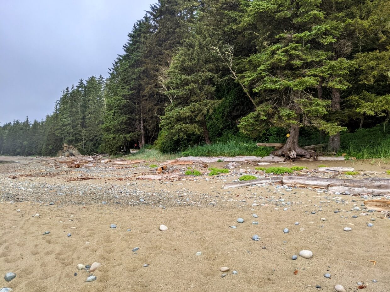
Tsusiat Falls Camp
Location: 24.9km from Pachena Bay / 50.1km from Gordon River
Facilities: Two outhouses with ladders, three food caches, one food hang
Water access: Waterfall and creek, north side of campground
Camping area: Beach
Popularity: High
It’s easy to see why Tsusiat Falls is the most popular West Coast Trail campground. The setting is absolutely gorgeous, with a sweeping sandy beach beneath tall, rugged cliffs and, of course, 33m high Tsusiat Falls.
Keep your fingers crossed for a hot day as Tsusiat Falls is the perfect place to swim. It’s even possible to sit behind the cascading water on a rock shelf at the back of the waterfall.

Even with the popularity, there is plenty of room for campers to spread out on the beach. The facilities are great too, with two outhouses, three food caches and a bear hang.
The downside of Tsusiat Falls is that the campground isn’t quite as appealing during dry (drought) years. 2023 is a good example – the waterfall almost completely dried up and it wasn’t possible to swim for most of the summer.
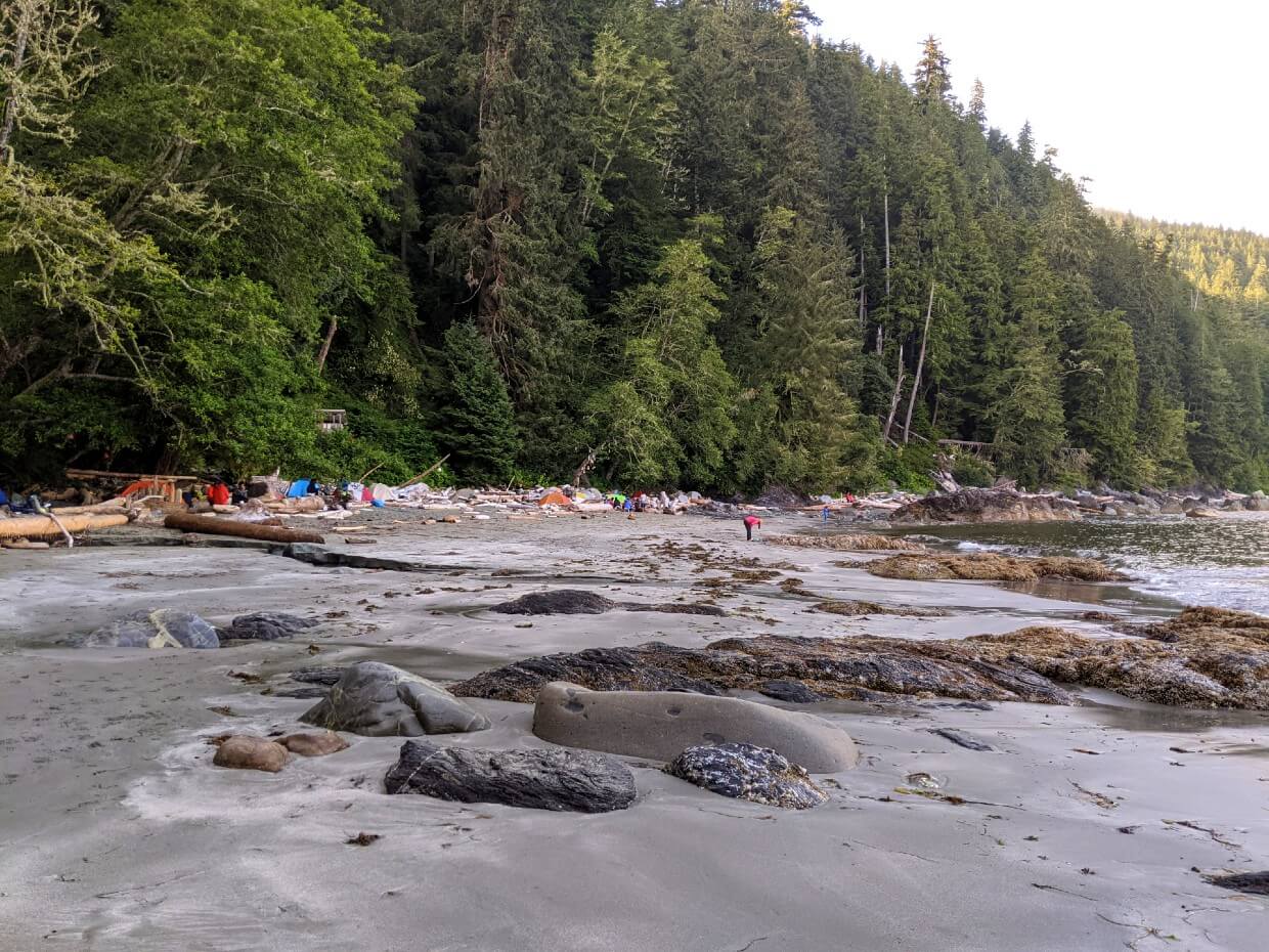
Cribs Creek Camp
Location: 42.5km from Pachena Bay / 32.5km from Gordon River
Facilities: One outhouse with ladder, two food caches
Water access: Creek through beach
Camping area: Beach, some forest spots
Popularity: High
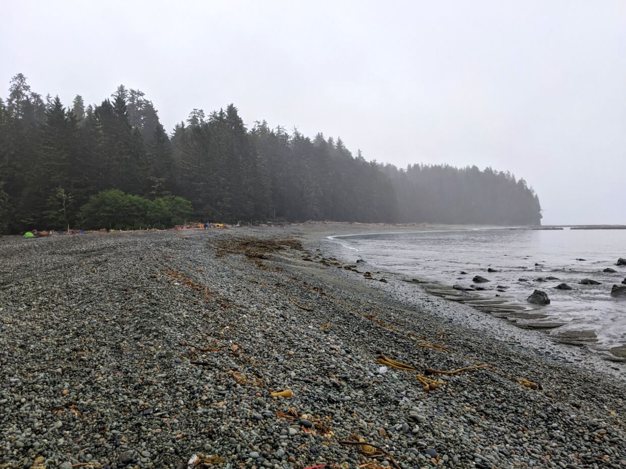
Cribs Creek Camp is an unusual-looking campground. The sandy beach is divided in two by the creek and is separated from the ocean by a strip of rocks.
It was pretty foggy when we were there, making it hard to see the ocean. To be honest, the vibe was a bit spooky!
There are beach camping spots on both sides of the creek. It is advisable to camp closer to the forest as the lower beach section can flood at high tide. The forest does offer a couple of camping spots too.
With Cribs Creek being the most logical place to stay before or after a night at Tsusiat Falls (17.6km away), this campground can get very busy.
Space isn’t such an issue on the beach, but the food caches can be a tight fit. Expect to wait at the singular outhouse as well.

Carmanah Creek Camp
Location: 46.1km from Pachena Bay / 28.9km from Gordon River
Facilities: One outhouse with ladder, two food caches
Camping area: Beach
Water access: Creek, south side of camping area
Popularity: Medium
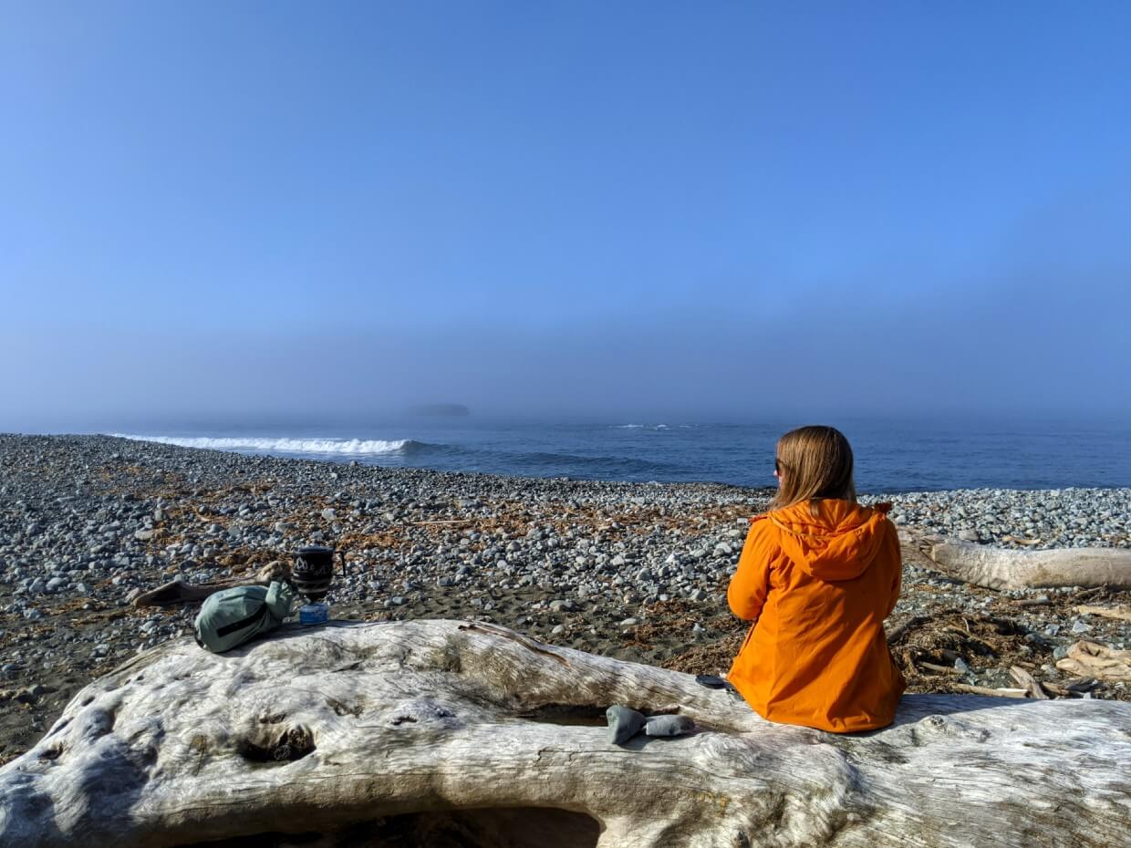
Carmanah Creek Camp is situated along an absolutely spectacular long stretch of sandy beach. Panoramic views of the ocean, Carmanah Lighthouse and also Washington State abound.
With the beach being so huge, it’s easy to find a camping spot here. Driftwood ‘furniture’ provides some shelter. To find fresh (less salty) water, it may be necessary to wander a little way up the creek.
Depending on the time of year, tides and recent weather, you may also need to wade or use the cable car to cross the creek (which seems more like a river to me!) to reach or leave the campground.
On our hike, the mouth of the creek was very narrow so we were able to walk across on a driftwood bridge.
At the northern end of Carmanah Beach is the former Chez Monique’s beach restaurant.
Katrina, the grand-niece of Monique’s husband, Peter, reopened the location as Nytom in 2021, selling burgers, coffee, chips, soda and candy.
Nytom didn’t open in 2022 but was open periodically in 2023.
Bonilla Point Camp
Location: 48km from Pachena Bay / 27km from Gordon River
Facilities: One outhouse with ladder, two food caches
Water access: Creek and waterfall, south side of camping area
Camping area: Beach, forest
Popularity: Low
Bonilla Point Camp may well be one of the most underrated West Coast Trail campgrounds. Its close proximity to Walbran Creek Camp means that this campground often gets overlooked.
Small but characterful, this campground features a beautiful waterfall, shipwreck artefacts (look under the large logs), a small cave and a lovely sandy beach. It is a little exposed, however.
Camping is available on sand only, but there are some semi-sheltered spots adjacent to the forest.
Although the campground is small, the views from Bonilla Point are still expansive.
If beachcombing if your thing, there’s plenty of rockpools to examine nearby, plus some interesting wave shaped cliffs (with imbedded fossils!)
Walbran Creek Camp
Location: 53km from Pachena Bay / 22km from Gordon River
Facilities: Two outhouses, three food caches
Water access: Creek, north side of camp
Camping area: Beach, forest
Popularity: High
Walbran Creek Camp is one of the West Coast Trail’s most popular campgrounds. Swimming in the (often icy cold!) creek is a highlight for many hikers.
Walbran’s gray pebble beach stretches far along the ocean, offering lots of options for beach camping. When we stayed, most hikers camped along the creek instead, presumably for shelter.
If you’d like to take a break from beach camping, there is space for at least three or four tents in the forest as well.
I’ve heard of hikers camping in the caves on the north side of the creek but I really wouldn’t recommend it. If the creek level rises, you’d be in a dangerous situation pretty quickly.
Depending on the time of year, tides and recent weather, you may need to wade or use the cable car to cross the creek. On our hike, the pebbles at the mouth of the creek had formed a bridge so we just walked across.
Cullite Cove Camp
Location: 58km from Pachena Bay / 17km from Gordon River
Facilities: One outhouse with steps, two food caches
Water access: Creek, north side of camp
Camping area: Beach
Popularity: Medium
Squeezed between two tall headlands, Cullite Cove is the most intimate campground on the West Coast Trail. The pebble beach is small and the view is pretty limited.
There isn’t a ton of space here, with about 4 sandy spots just back from the pebble beach. There’s a very small space surrounded by bushes near the food cache as well.
Cullite Cove Camp really seems to divide hikers. Some people seem to really fall in love with it, while others said it was their least favourite.
This campground is unusual in that it cannot be seen from the main trail. It is situated on the south side of Cullite Creek. When hiking from the north, you’ll need take the cable car first. Once on the southern shore, follow the short, rough side trail along the creek.
Cullite Cove is an ideal place to stop for lunch when hiking between Camper Bay and Walbran Creek. For one thing, it helps break up the 19 ladder marathon required to climb down to and then back up from Cullite Creek!
Camper Bay Camp
Location: 62.2km from Pachena Bay / 12.8km from Gordon River
Facilities: Two outhouses with ladders, two food caches
Water access: Creek, south side of camping area
Camping area: Beach
Popularity: High
Camper Bay Camp is a very common overnight stopping point for WCT hikers, especially when heading north.
The main campground is in front of the forest, on the gravel beach. Some hikers also camp on the side of Camper Creek, though this could prove dangerous if and when the creek floods.
The ocean is some distance away, blocked by Camper Creek and a hill of pebbles. The small beach is bordered by tall headlands on either side.
There is a First Nation Guardian cabin just behind the beach, though you can’t really see it from the camping area.
Camper Bay Camp was my least favourite West Coast Trail campground that we stayed at. The lack of an ocean view from the camping area was definitely disappointing. On the plus side, though, there were two outhouses!
To access the campground from the south, you’ll need to wade or take the cable car across Camper Creek.
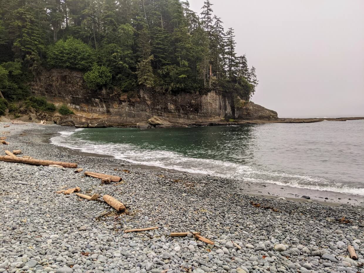
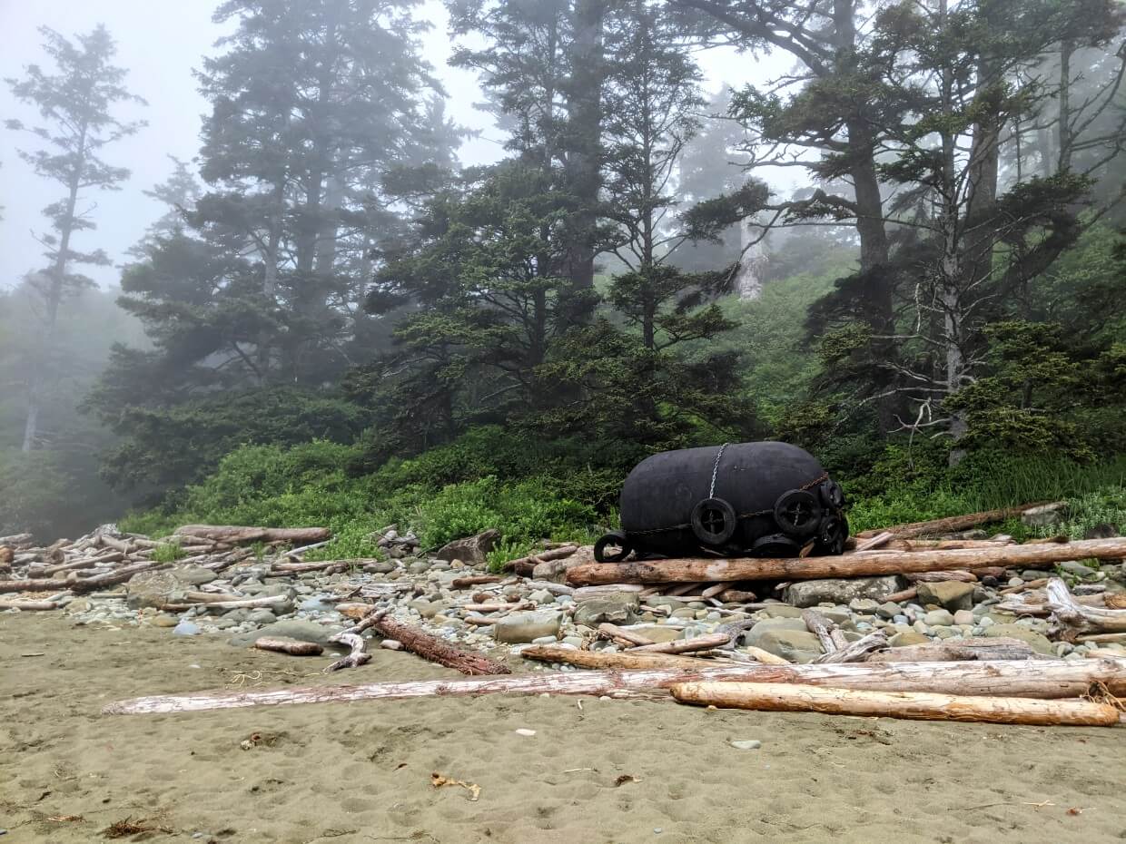
Thrasher Cove Camp
Location: 70km + 1km (forest route) from Pachena Bay / 6km from Gordon River
Facilities: One outhouse with ladder, two food caches, one food hang
Water access: Creek, middle of camping area
Camping area: Beach, some forest spots
Popularity: High
Thrasher Cove Camp is the very first or last West Coast Trail campground, depending on which direction you are hiking. This is one of the reasons why it is a very popular place to camp.
Thrasher Cove is also the starting (or end) point of the notorious ‘boulder section’ to Owen Point. It’s vital to get the tides right for this optional coastal route. Camping at Thrashers can help enable that.
Thrasher Cove is also only 6km from Gordon River and therefore an ideal final stop for those heading south (remember, the last ferry is at 3.30pm!)
The campground itself consists of a short sandy beach, scattered with rocks and bordered on both sides with boulders. It faces the relatively busy Port San Juan inlet, so it doesn’t have a super isolated feel.
Most hikers camp on the northern side, though there are a few small spots just to the south of the ladder access. There is also space for a couple of tents in the forest behind the beach, close to the creek.
Thrasher Cove is bigger than Cullite Cove, but it’s still relatively tight for space. Be sure to locate the high tide line (and check your charts) before putting up your tent.

Unofficial places to camp on the West Coast Trail
As previously mentioned, it is technically possible to camp almost anywhere on the West Coast Trail.
In practice, however, the vast majority of hikers do utilise the designated campgrounds as described above. This is for a number of reasons, with established facilities (outhouses, food caches etc.) being just one.
On a practical level, there are just not that many suitable places to randomly camp on the West Coast Trail.
The forest sections usually feature a narrow path through dense foliage, with very few flat spots suitable for a single tent.
Random beach camping is easier, but you do have to be careful to choose a place where the tide isn’t an issue.
There are also some exceptions to the ‘camp anywhere’ rule.
Camping is not allowed between kilometres 35 and 38 due to abundant wildlife activity.
Camping is also not permitted on First Nation reserve lands:
- Kilometre 5.4 – 6.2km (Malsit TSL)
- Kilometre 29.4 – 30.7km (IR 2)
- Kilometre 32.2 – 33.6km (IR 3)
- Kilometre 34.5 – 35.5km (IR 4)
- Kilometre 44.3 – 55.1km (IR 6)
- Kilometre 47.4 – 49.9km (IR 3)
These areas are all clearly marked on Parks Canada’s West Coast Trail map.
Please note that the above kilometer readings are estimations only. When in doubt, err on the side of caution.
Hikers planning to camp outside the established West Coast Trail campgrounds should be careful to adhere to Leave No Trace principles, especially when using the (non-existent) bathroom and storing food. You’ll also need to plan ahead for water.
With all that in mind, I will now list the most popular non-campground places to camp along the West Coast Trail.
Thrasher Cove Junction
Location: 70.1km from Pachena Bay / 4.9km from Gordon River
Water access: Stream
This unofficial camping area is located to the side of the trail near the turn off to Thrasher Cove. It consists of a small flat space in the forest, bordered by a slowly running stream (which likely runs dry later in the summer).
There’s not much to it but this spot is convenient for southbound hikers who intend to get an early start to catch the Gordon River ferry.
This unofficial camping area offers the chance to avoid the steep descent down to Thrasher Cove. Personally, I’d just stay at Thrashers – I’d rather have the beach view!
Beach Access A
Location: 65km / 10km
Water access: None
If you are determined to hike the coastal section to Owen Point but the tides are against you, this unofficial campsite may prove helpful.
The junction to Beach Access A features a fairly large flat, forested area. There’s no water, so you’ll need to plan ahead carefully.
There’s a water source about 2km north and another 1.1km south, at 150 Yard Creek. I’ve heard (but not personally confirmed) that the latter has some flat space for tents as well.
Dare Beach
Location: 40km from Pachena Bay / 35km from Gordon River
Water access: Stream
Dare Beach is most often used as a way to break up the trek between Tsusiat Falls and Cribs Creek (17.6km total distance). Camping is otherwise very limited between these two points.
There is some space to camp above the high tide line on the sandy beach. There is a stream too, accessible over piles of driftwood.
We considered camping at Dare Beach when planning our trip but ended up booking a night at the Crab Shack instead. Keep reading for more details on that experience.
Paid camping and accommodation on the West Coast Trail
The West Coast Trail is located on the traditional territory of the Huuay-aht, Ditidaht, and Pacheedaht First Nations. The trail travels through reserve lands at numerous points.
If you’re looking to add a little bit of luxury to your West Coast Trail hike (or just a guaranteed dry night), consider booking a night of paid accommodation.
Please note – the Ditidaht Nation used to rent canvas walled tents and cabins at Tsuquadra Point (29.8km / 45.2km). Unfortunately, this service is no longer available (2024 update).
Nitinaht Narrows
Location: 32.3km from Pachena Bay / 42.7km from Gordon River
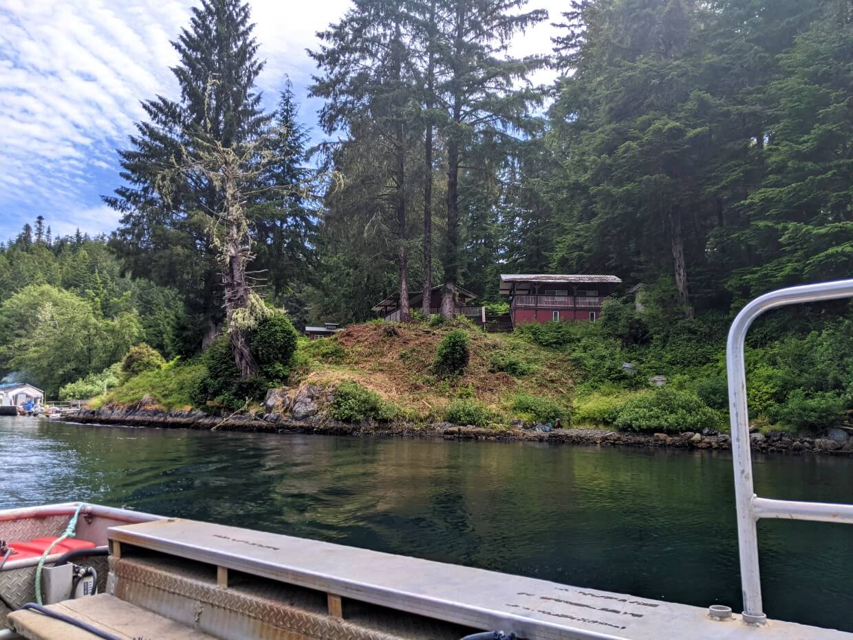
The friendly Edgar family runs Nitinaht Wilderness Charters, which offers cabin rentals at Nitinaht Narrows, as well as a tent deck rental.
The Edgar family also operates the West Coast Trail Nitinaht Narrows ferry, the iconic Crab Shack restaurant and the Nitinaht Village water taxi service.
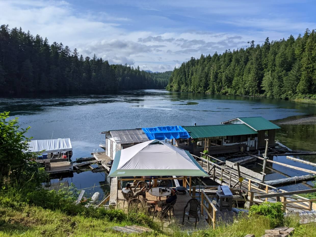
Heated cabins
There are four heated cabin rentals at Nitinaht Narrows. If you’re in a group, these cabins offer fantastic value. They also mean a guaranteed dry, warm night of sleep and a chance to dry gear out.
All of the cabins are located just up the hill from the Crab Shack, which serves seafood, baked potatoes, grilled cheese sandwiches and drinks between 9.30am-6pm (ish). Breakfast dishes are also available in the morning.
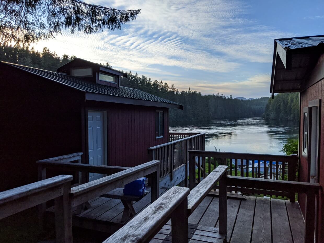
Each cabin has a deck, with great views of beautiful Nitinaht Narrows. Here are the details (subject to change):
- Cabin 1 sleeps up to eight (four double beds) and has propane heating. Bedding provided.
- Cabin 2 sleeps up to seven (single bed, double bed, two futon couches) and has propane heating. Bedding not provided
- Cabin 3 sleeps up to four (single bunks) and has a wood stove. Bedding not provided
- Cabin 4 sleeps up to five (one double bed, three single beds) and has propane heating. Bedding provided
A container of drinking water (10l) is provided. There is an outhouse just a short walk away. There is no electricity.
Cabin prices start at $150/night.
Reservations are recommended. Last-minute (walk-in) bookings are subject to availability. When it rains, the available cabins fill up fast!
To book, contact Nitinaht Wilderness Charters by Facebook message, phone (250-745-3509) or email (info@nitinatwildernesscharters.com)
Tent deck
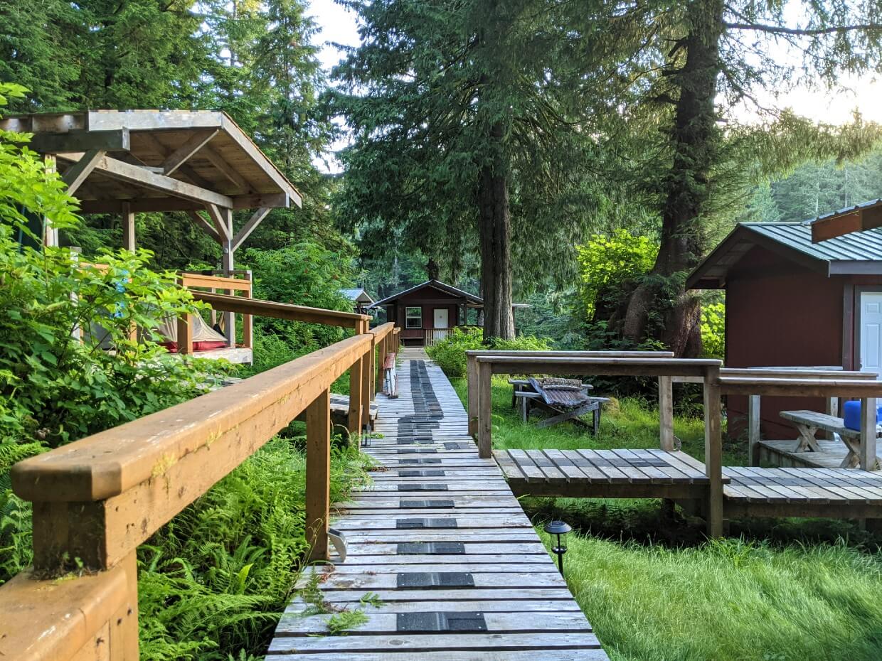
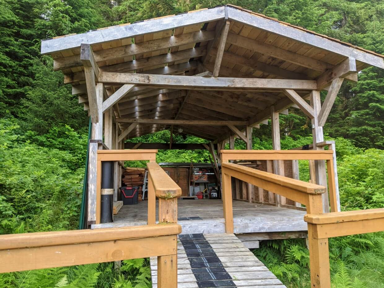
As well as the cabins, the Edgar family also rents out a covered tent deck. It’s located amongst the cabins and would fit about 3 backpacking tents when fully open (the photo below was taken when it was under renovation in July 2021).
The tent deck cost $40/night in 2025. For us, it was well worth the extra expense.
Not only did it enable us to break away from the standard West Coast Trail itinerary (consecutive nights at Cribs Creek and Tsusiat Falls) but we were able to eat seafood three times on our hike!
JR is originally from the East Coast and is obsessed with seafood. Staying at the Crab Shack was one of the ways I lured him into hiking the West Coast Trail 😉
We also enjoyed meeting the Edgar family and learning about the Ditidaht Nation.
To book, contact Nitinaht Wilderness Charters by Facebook message, phone (250-745-3509) or email (info@nitinatwildernesscharters.com)
Camping on the West Coast Trail
This section will help prepare you for camping on the West Coast Trail, with tips covering what to expect, food storage, water sources as well as essential items.
What to expect
If you haven’t been on a coastal backpacking trip before, you may be unsure what to expect from campgrounds on the West Coast Trail. Here are some quick pointers.
Camping freedom
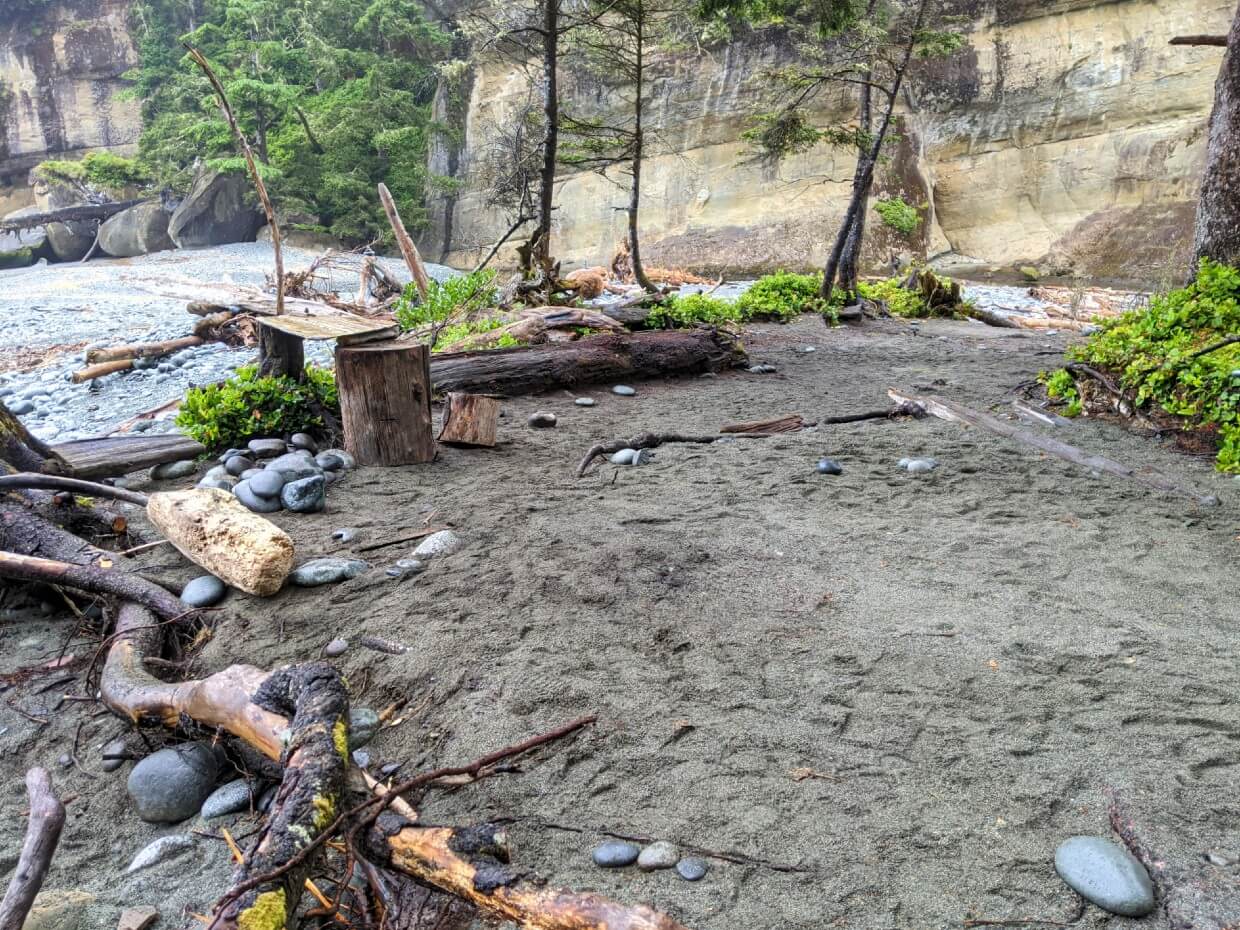
The WCT’s designated campgrounds work on a first-come, first serve basis. There is no reservation system.
There are also no formal campsites, so you have complete freedom where to set up your tent within the campground area.
This does not mean, however, that the entire area is risk-free for camping. It is important to assess your potential camping area for hazards, such as the high tide line (see below) and widow-makers (dead trees or limbs).
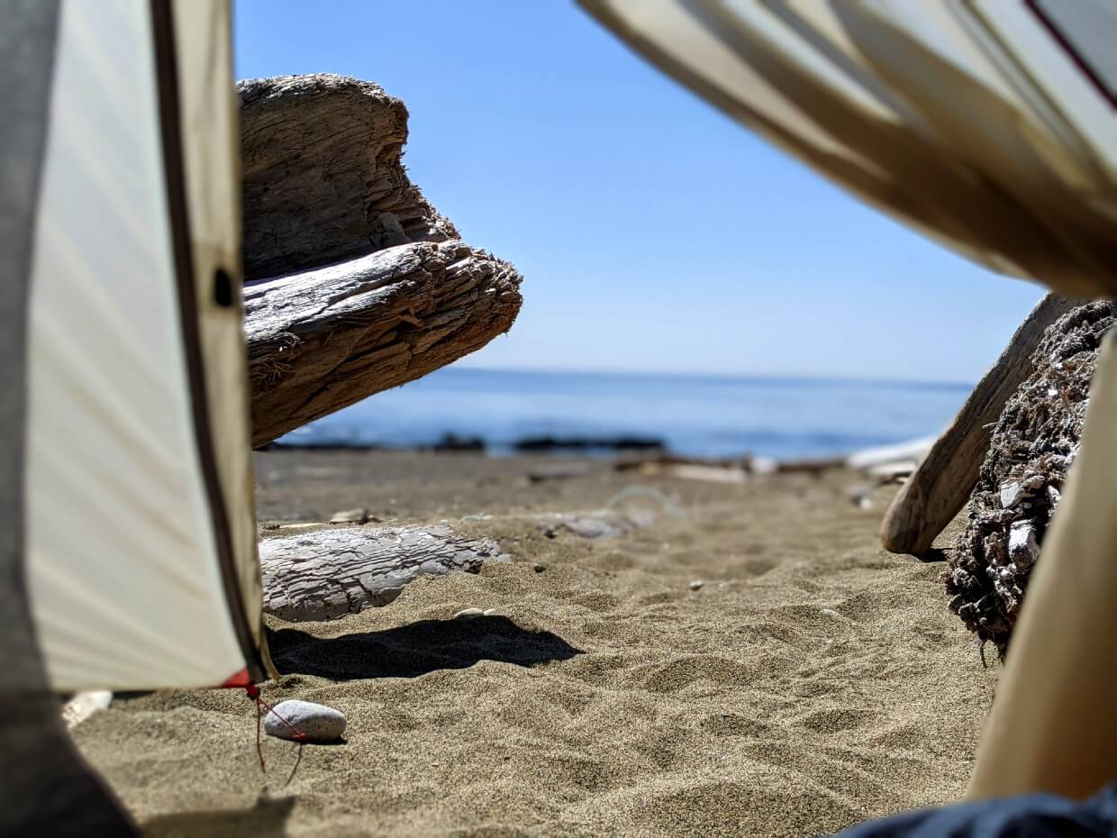
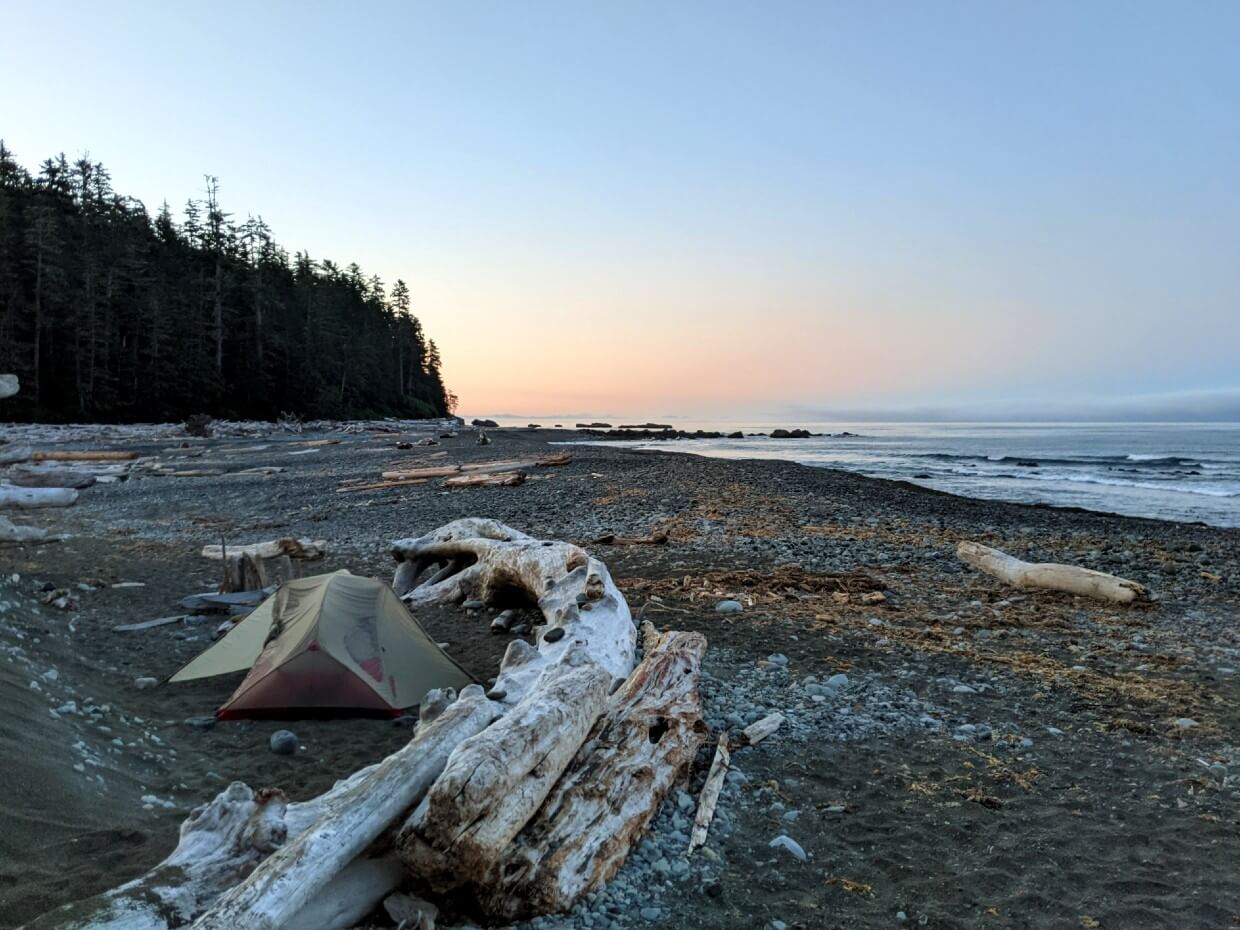
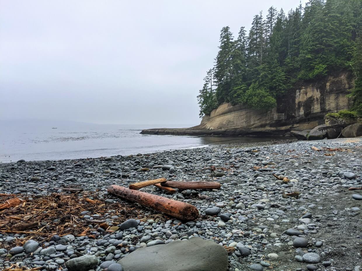
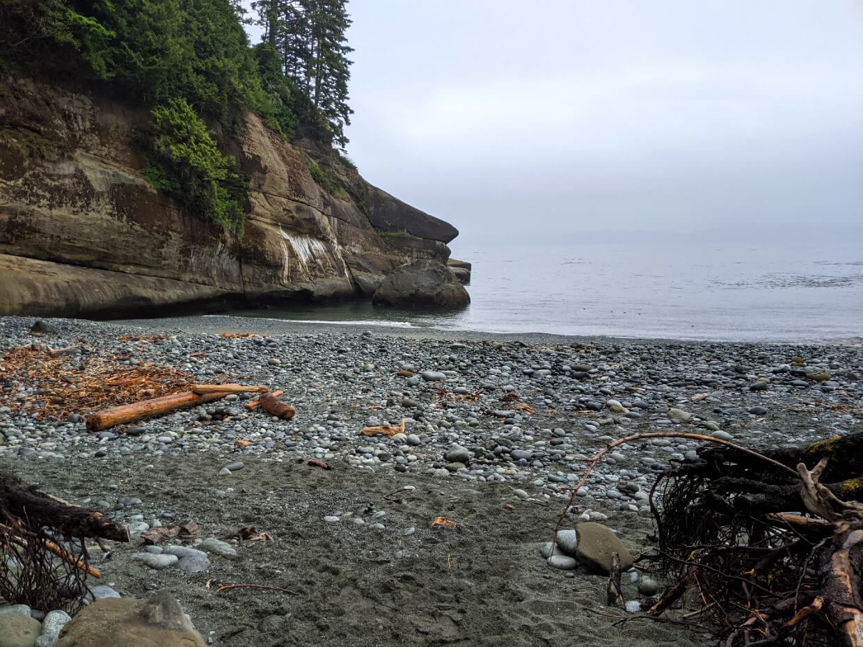
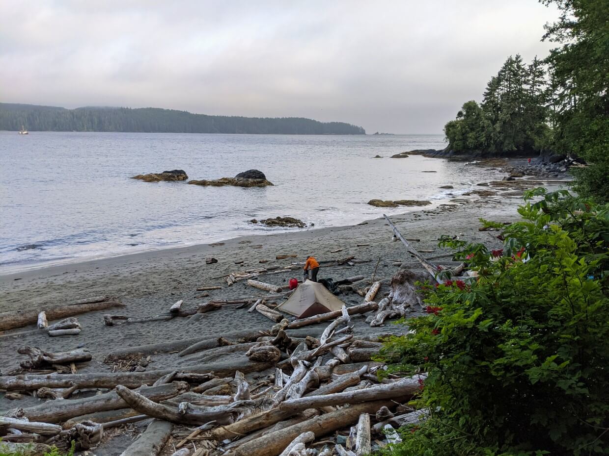
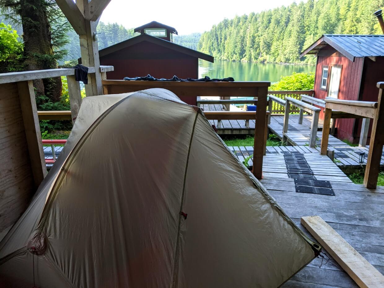
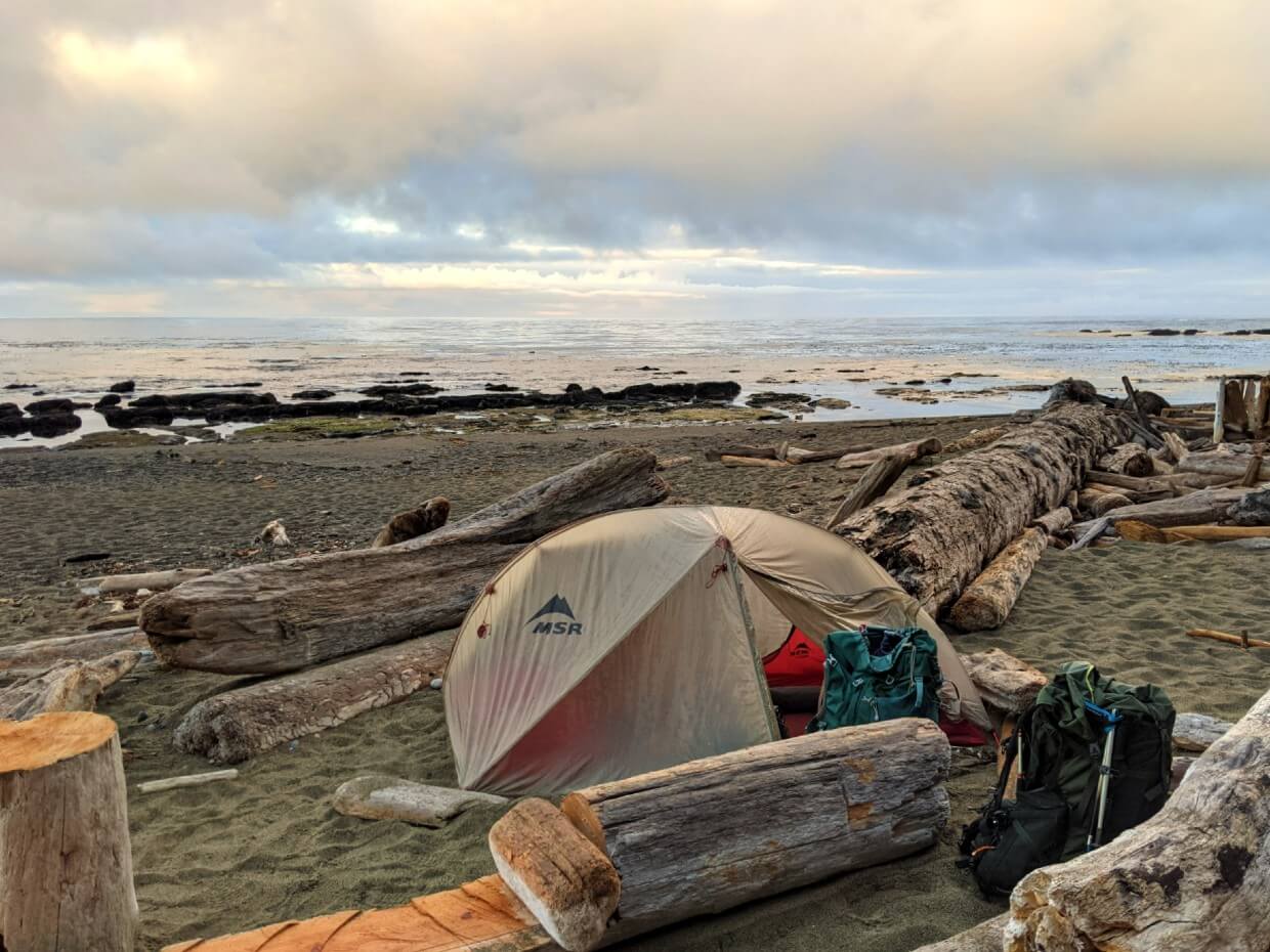
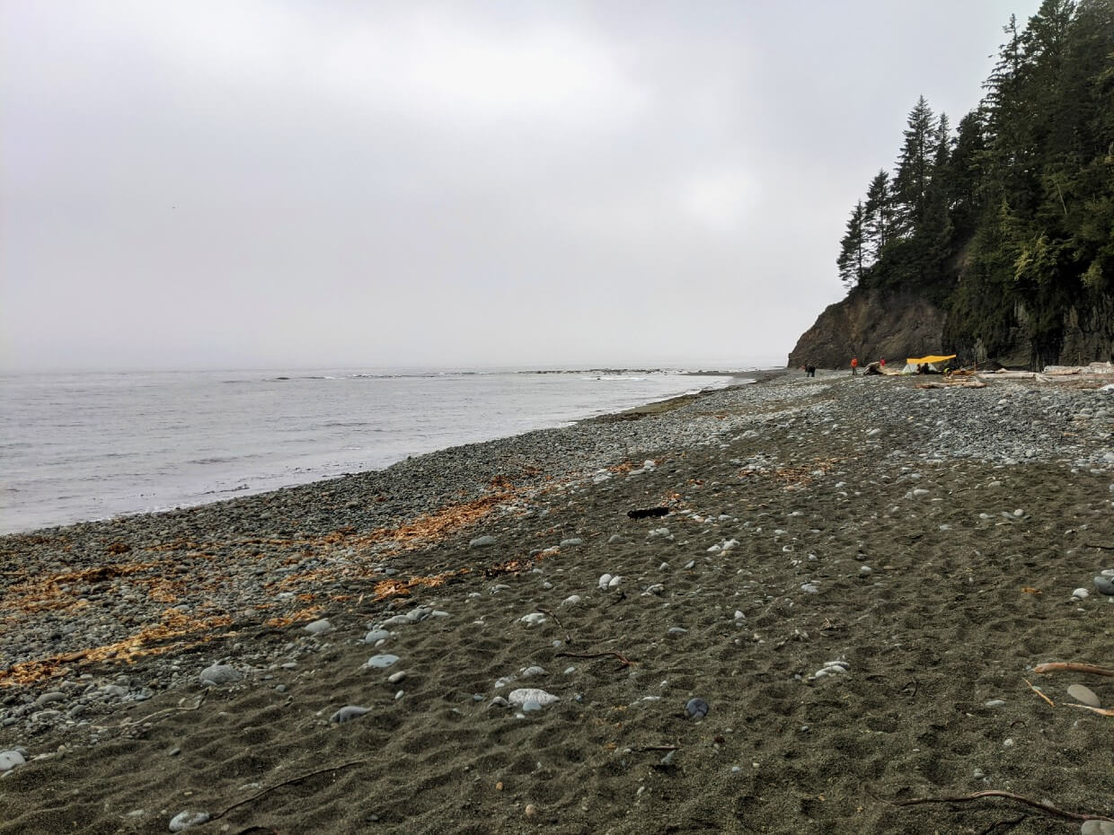
Beach camping
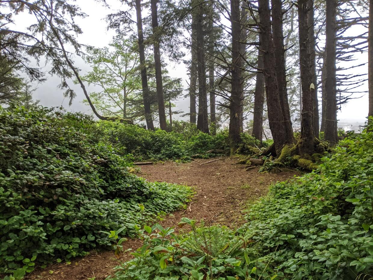
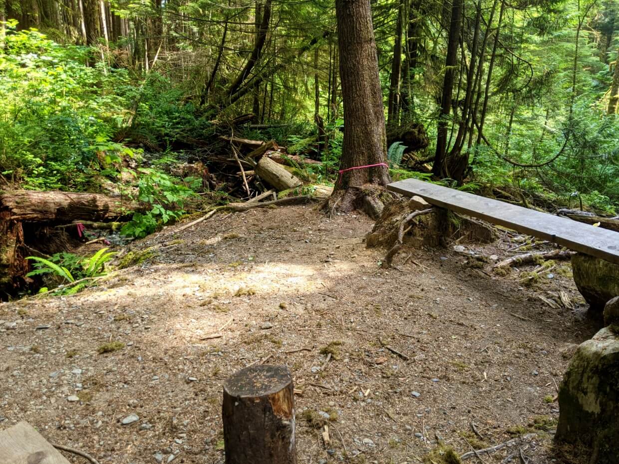
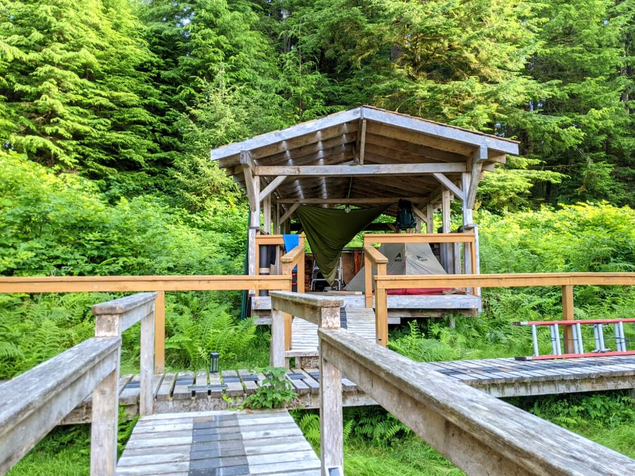
For the most part, camping on the West Coast Trail is on the beach. A few of the designated campgrounds do have limited spots in the forest, but most do not.
Beach camping can be a wonderful thing, with the ocean waves lulling you to sleep. But it does come with some drawbacks as well.
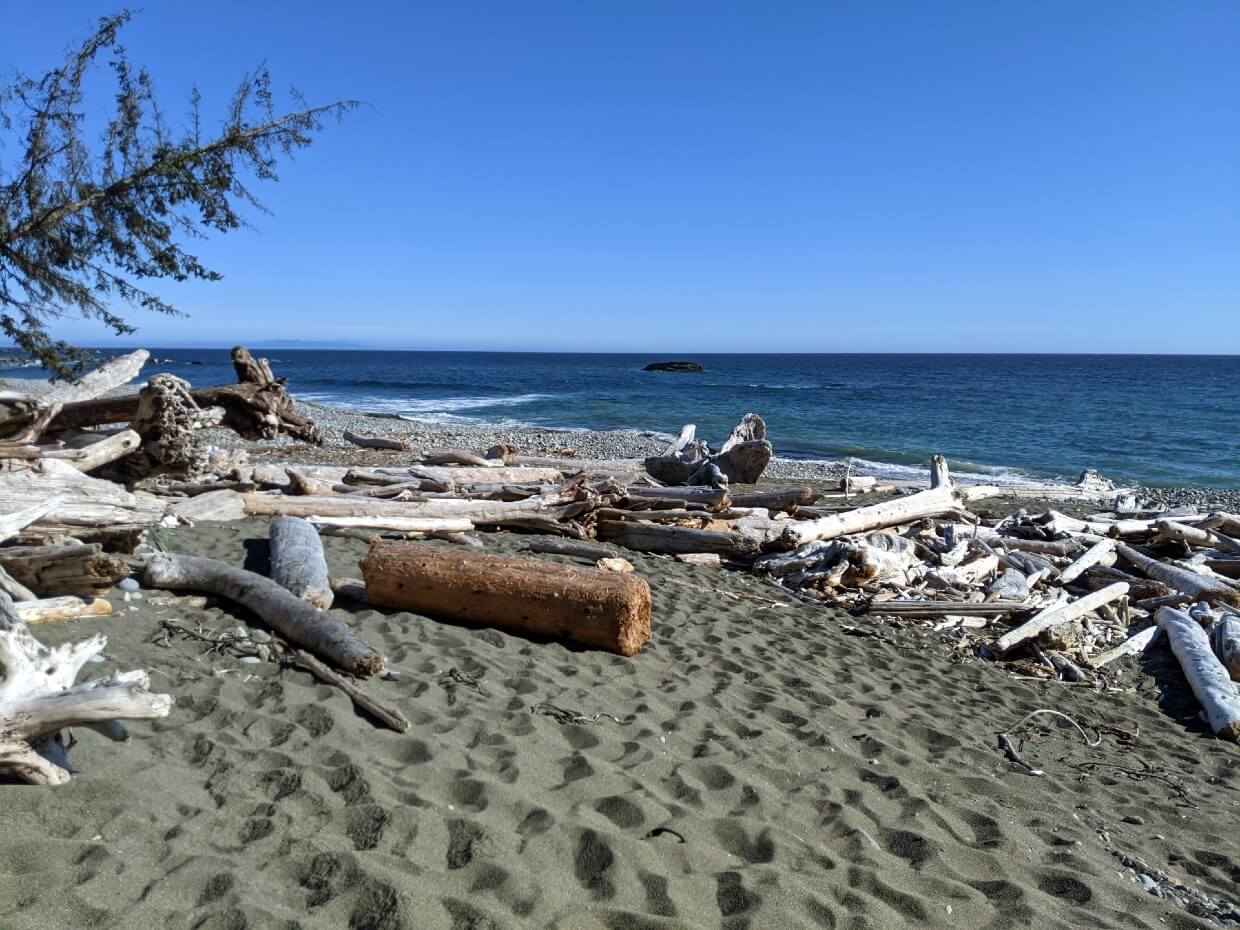
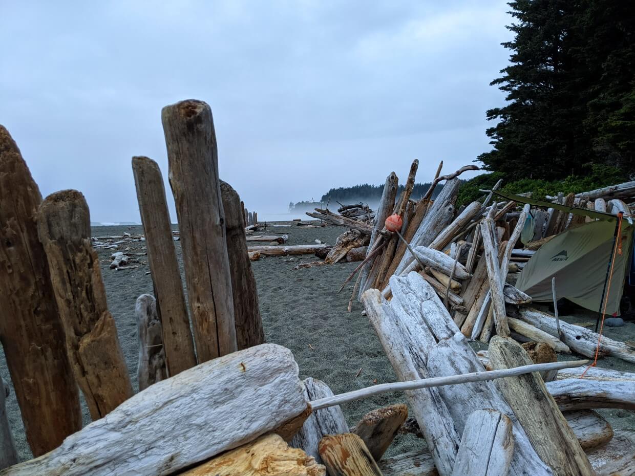
- Sand and small rocks are inevitable annoyances of beach camping, especially on damp days. Be extra careful to dust off feet, shoes and gear before moving into the tent
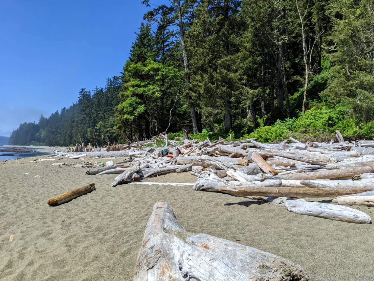
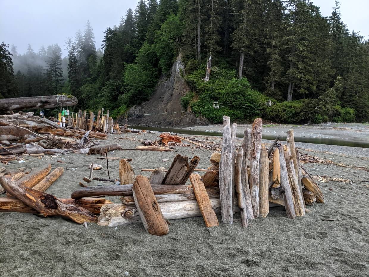
- Shelter, from rain or wind, is limited when camping on the beach. Driftwood fences, created by previous WCT hikers, can act as a barrier. Keep in mind though that mice commonly live in piles of driftwood!
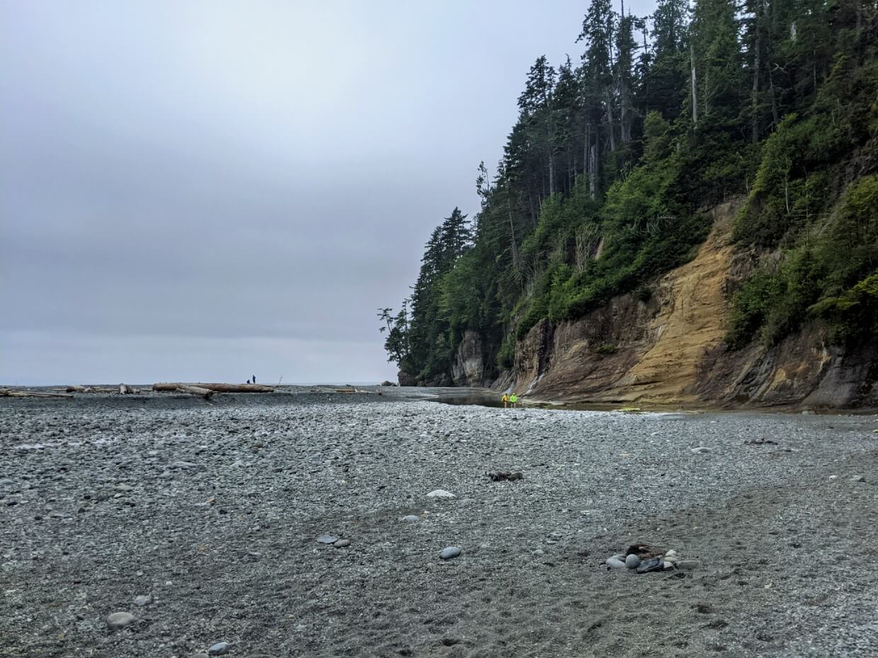
- When choosing where to camp on the beach, be sure to select a spot above the high tide line. This will ensure that you don’t wake up underwater in the middle of the night! Consult your WCT map and tide tables. Also look for a line of debris, seaweed or driftwood along the shore
- If you have a semi-freestanding tent, you may find it more difficult to put it up on some of the WCT beaches. We utilised rocks and driftwood
Signage
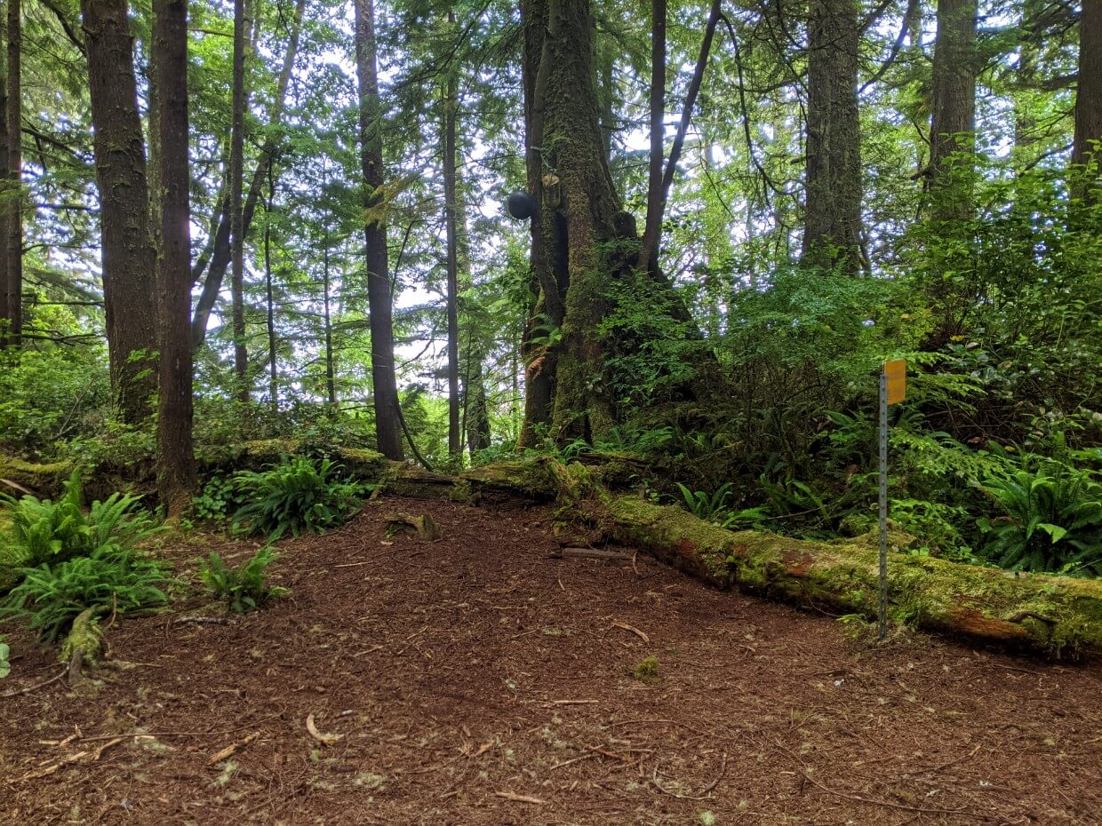
It’s important to note that none of the designated West Coast Trail campgrounds have official signage.
While most of the campgrounds are located right on the West Coast Trail route, some of them are more obvious than others.
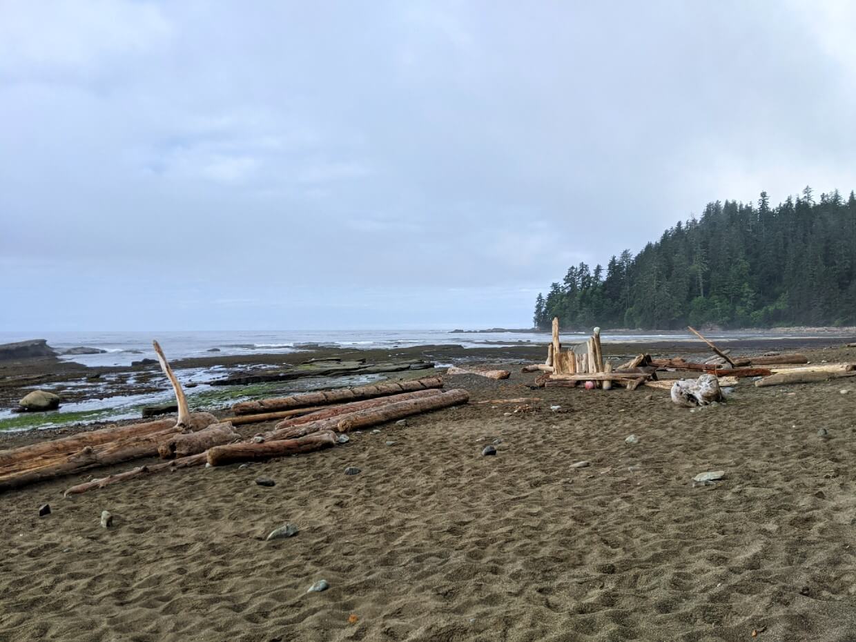
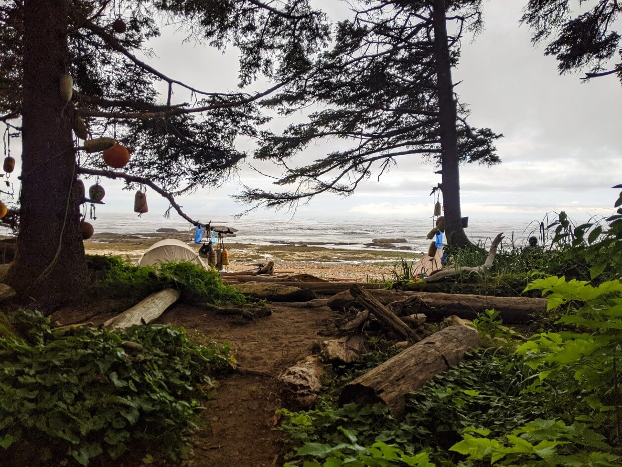
Multiple buoys in the trees and driftwood sculptures are the most common signifiers, if there are not already tents set up in the area.
Cullite Cove Camp, being just off the trail and out of sight, is very easy to miss if you’re not looking for it.
When hiking from the south (Gordon River), Cullite Cove Camp is before the cable car crossing. From the north (Pachena Bay), it’s after the cable car.
Unavoidable condensation
Even if the weather forecast looks sunny and dry for your WCT hike, be prepared for your tent to be damp in the morning (and sometimes in the evening too!) It’ll probably still be wet when you pack it up.
With so much moisture and humidity in the air, it’s almost impossible to avoid condensation on your tent fly while camping close to the ocean.
Try not to leave items outside of your tent overnight, as they will gather even more moisture.
Isolation
Expect to have zero phone signal while hiking the West Coast Trail. Signal is non-existent at the two trailheads as well.
It’s actually better to have your phone set to aeroplane mode during the hike since if you do pick up a signal, it’ll probably be from the USA. Unless you have an international roaming plan, you may get hit with some unexpected charges.
We did meet some hikers who had luck getting patchy signal at Thrashers Cove. Again, this was from the USA, so less helpful if you don’t have a roaming plan.
To stay in touch with family (and for emergency purposes), we used an InReach device.

Campground rules
- Quiet time is 11pm to 7am
- Pets are not permitted on the West Coast Trail
- Maximum six people per tent
- When no fire ban is in place, campfires are allowed on the beach
- Campfires should be made with driftwood only
Food storage
To avoid issues with wildlife, it is important to properly secure food and other smelly items overnight.
And when I say wildlife, I mean mice, squirrels, chipmunks and birds as well as bears. Almost any animal in the backcountry would be happy to find your food to feast on.
While it sucks to lose food, the bigger issue is accidentally feeding animals. Not only is it illegal in National Parks (even if you didn’t mean to) but feeding animals can actually inadvertently kill them.
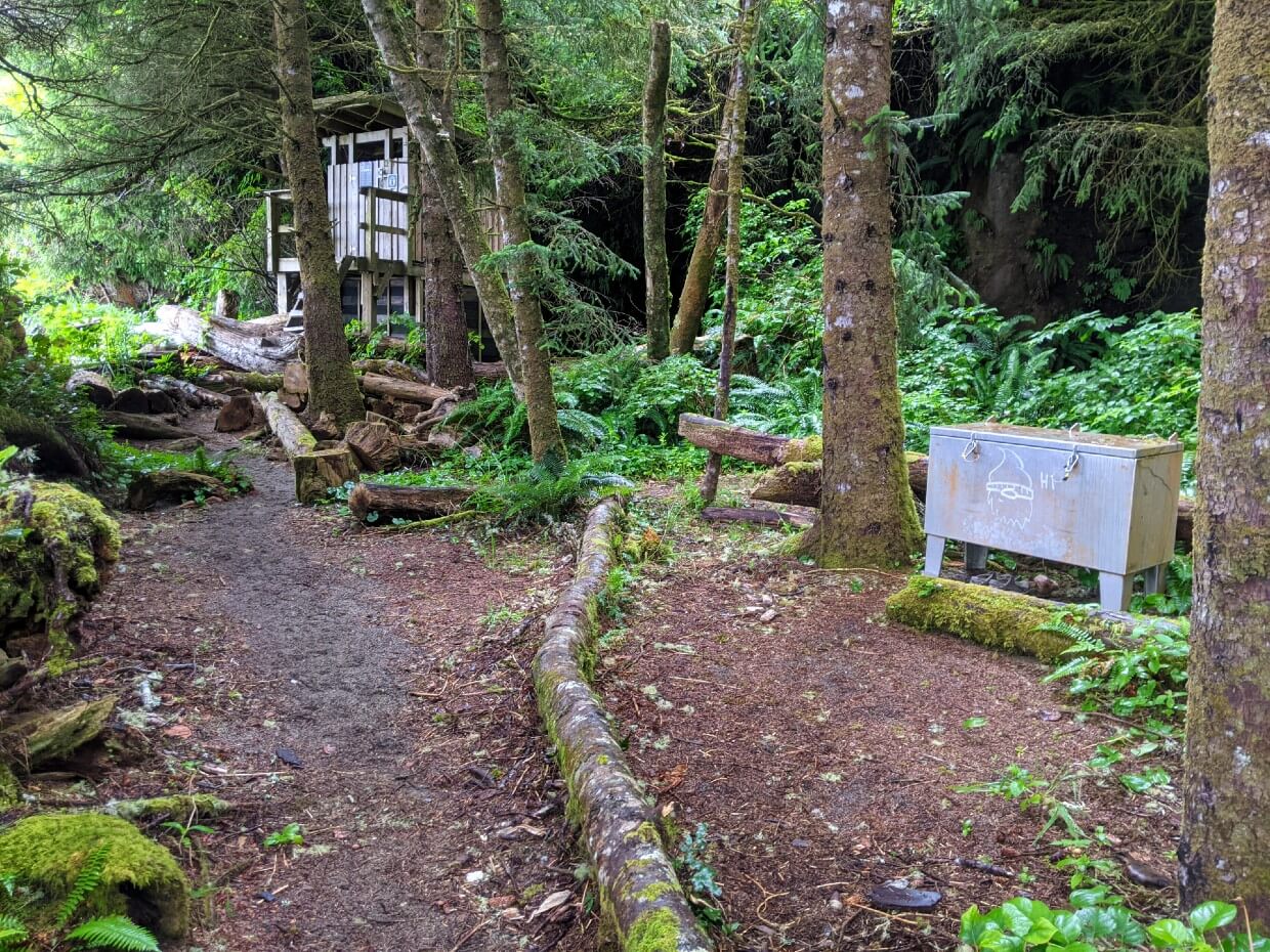
To make storing food easy, Parks Canada has provided food caches at almost every designated West Coast Trail campground.

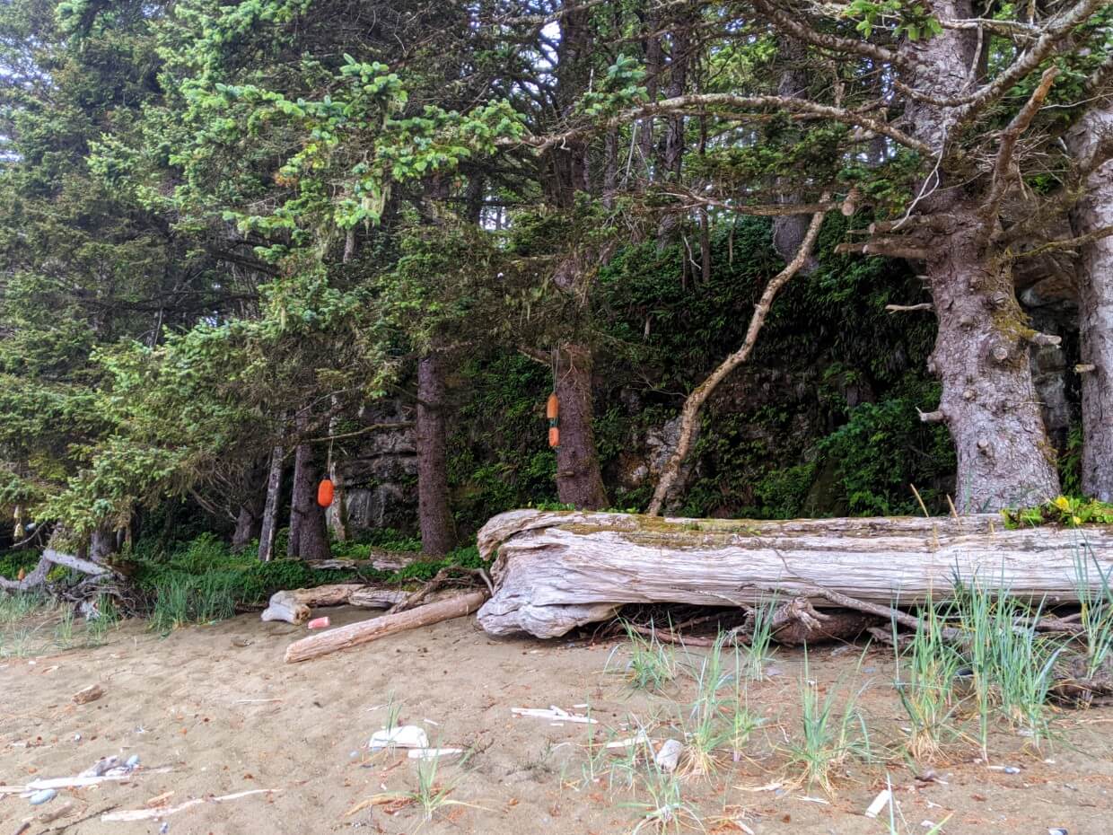
Food caches and bear hangs
All but one of the designated West Coast Trail campgrounds have at least one metal food cache. These open at the top and are secured with carabiners (see photo above).
The more popular campgrounds have an additional food cache and/or a bear hang pole.
The bear hang poles are also metal and feature multiple rope pulley systems. While they usually work perfectly fine, the downside is that they do expose your food bag to rain and condensation.

Although these food storage facilities exist, I would still recommend bringing the necessities to build your own bear hang (15m of nylon cord, at least one carabiner). Your food should be 4 metres off the ground and at least 3 meters away from any tree trunks.
In the more popular campgrounds, the food caches do tend to fill up. This is even more likely to happen when hikers leave items behind (don’t do this!)
Knowing this, we stored our food in two separate bags. We put one in the food cache after arriving at the campground and then placed the other on top after dinner.
If we had needed to use one of the bear hang poles, this would have meant that only one bag would have gotten wet. We also found organisation to be easier with two bags.

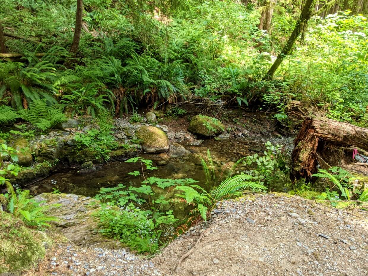
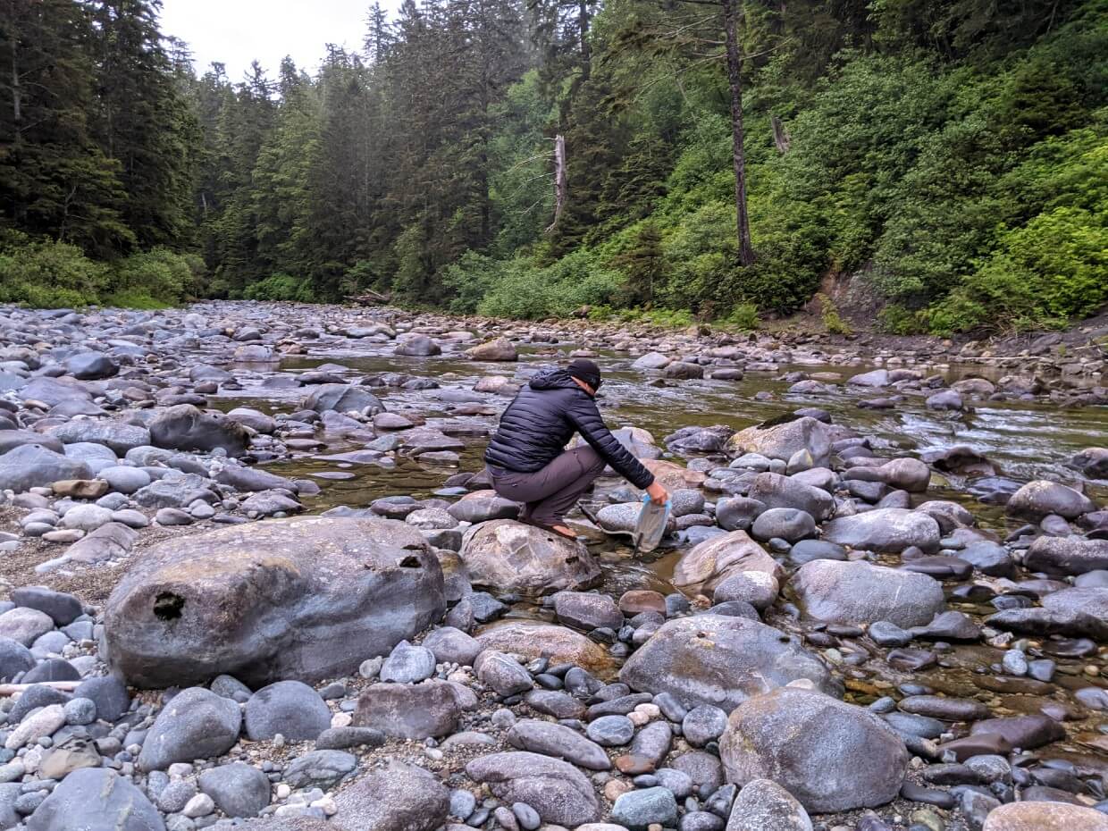
Water
There is a running water source (river, creek) located close to each of the designated West Coast Trail campgrounds. In times of dry weather, the water source may be lower or harder to find, but it is there.
It’s also sometimes necessary to walk quite far up the creek or river to find less salty water.
For the most part, the creeks and rivers are quite cold. A couple of them have a brownish colour, due to the higher concentrations of tannins (the byproduct of vegetation fermentation).
To avoid illness, water should be purified before drinking. This can be done in a variety of ways. I prefer to use a filter as it also removes larger particles in the water.
We tested MSR’s Thru-Link In-Line Microfilter while hiking the West Coast Trail. It connects directly to a water bladder, so you can simply filter as you hike.
While I loved how lightweight it was (70g!), we did find the Thru-Link a bit tricky to use on some of the shallower creeks. We tested MSR’s Trail Shot Filter on our next backpacking trip and it worked a lot better. We also like Katadyn’s BeFree Filter.
When washing dishes, be sure to head to the ocean or the mouth of the river/creek. It’s not very nice for people gathering drinking water if you wash dishes just upstream!
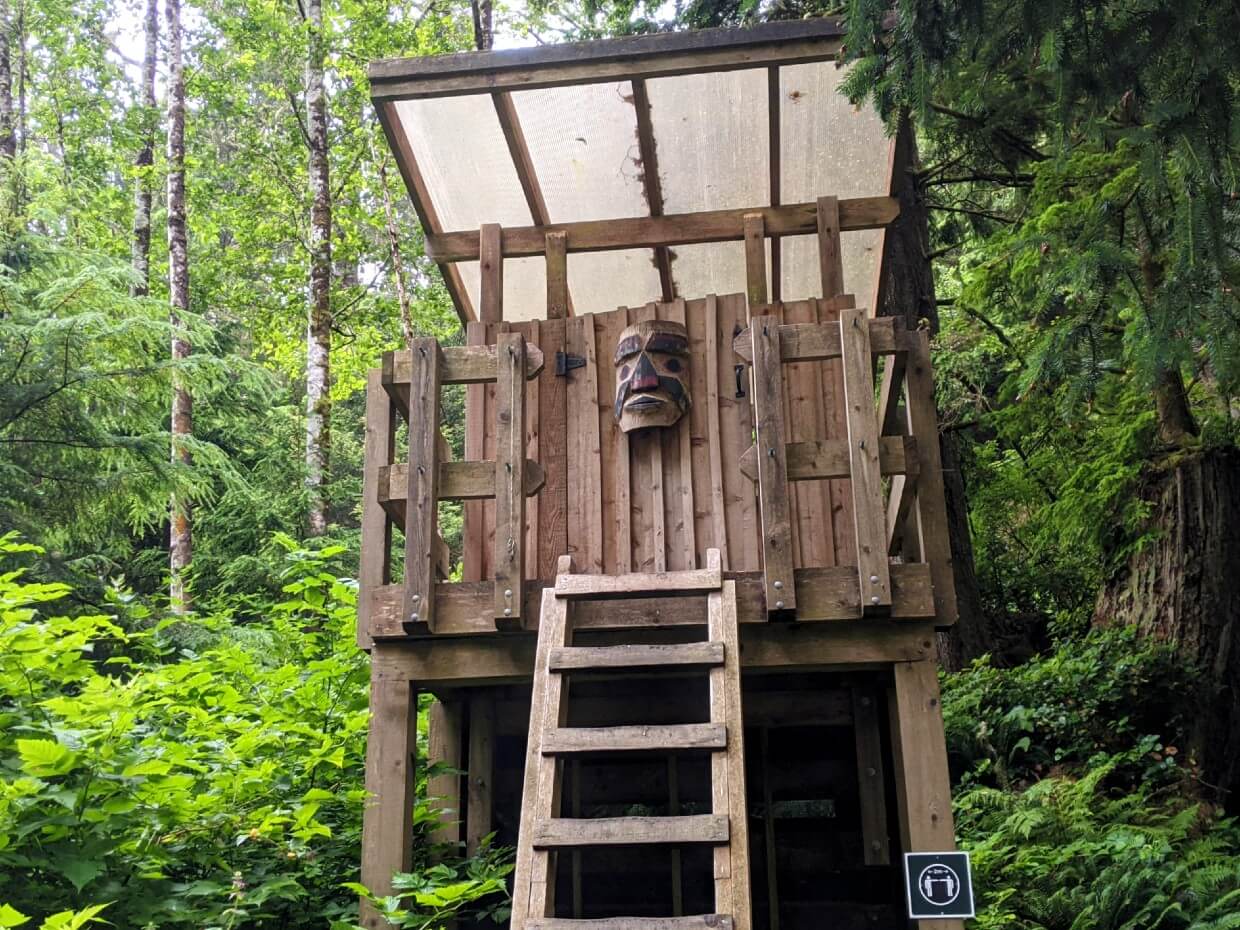
Toilet facilities
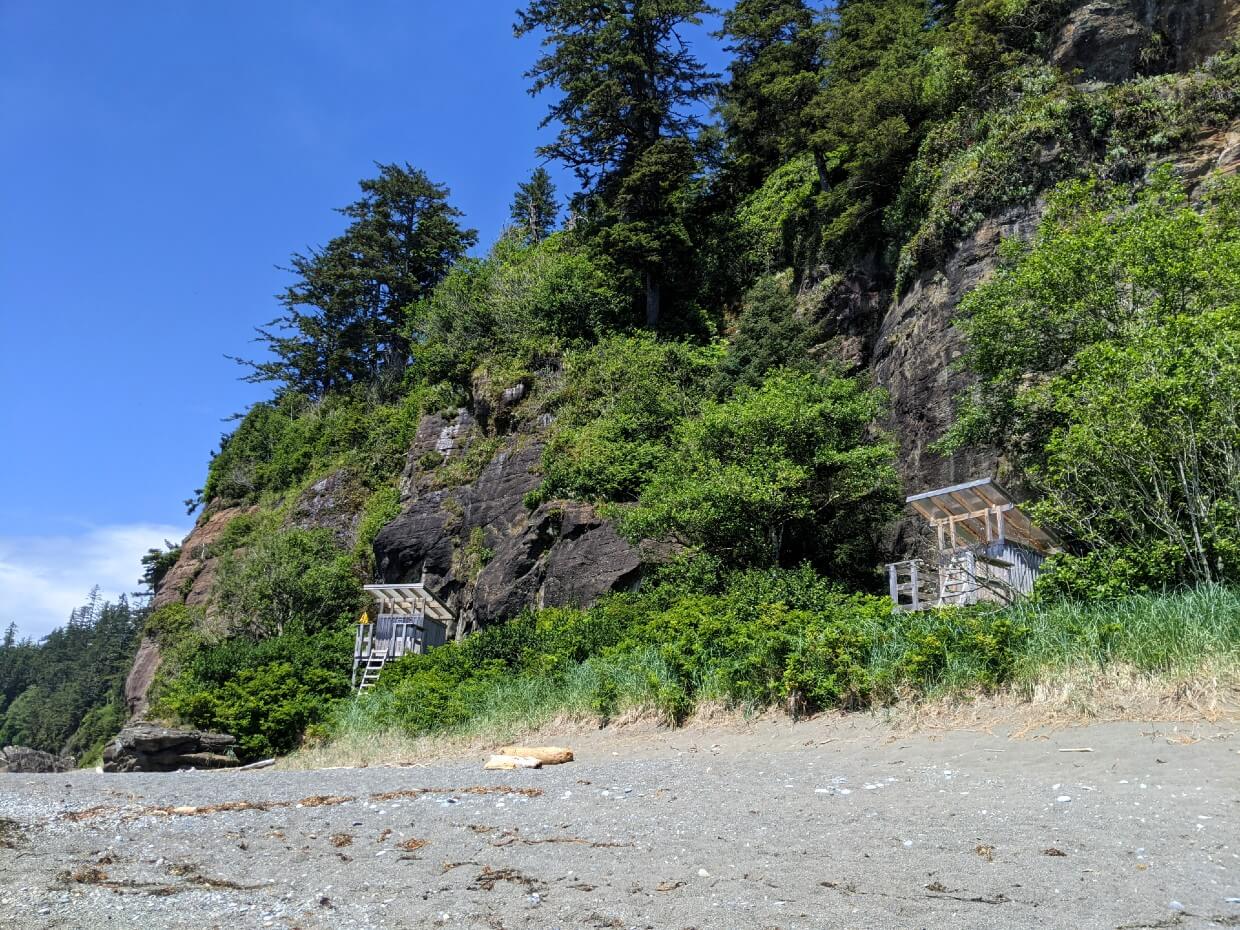
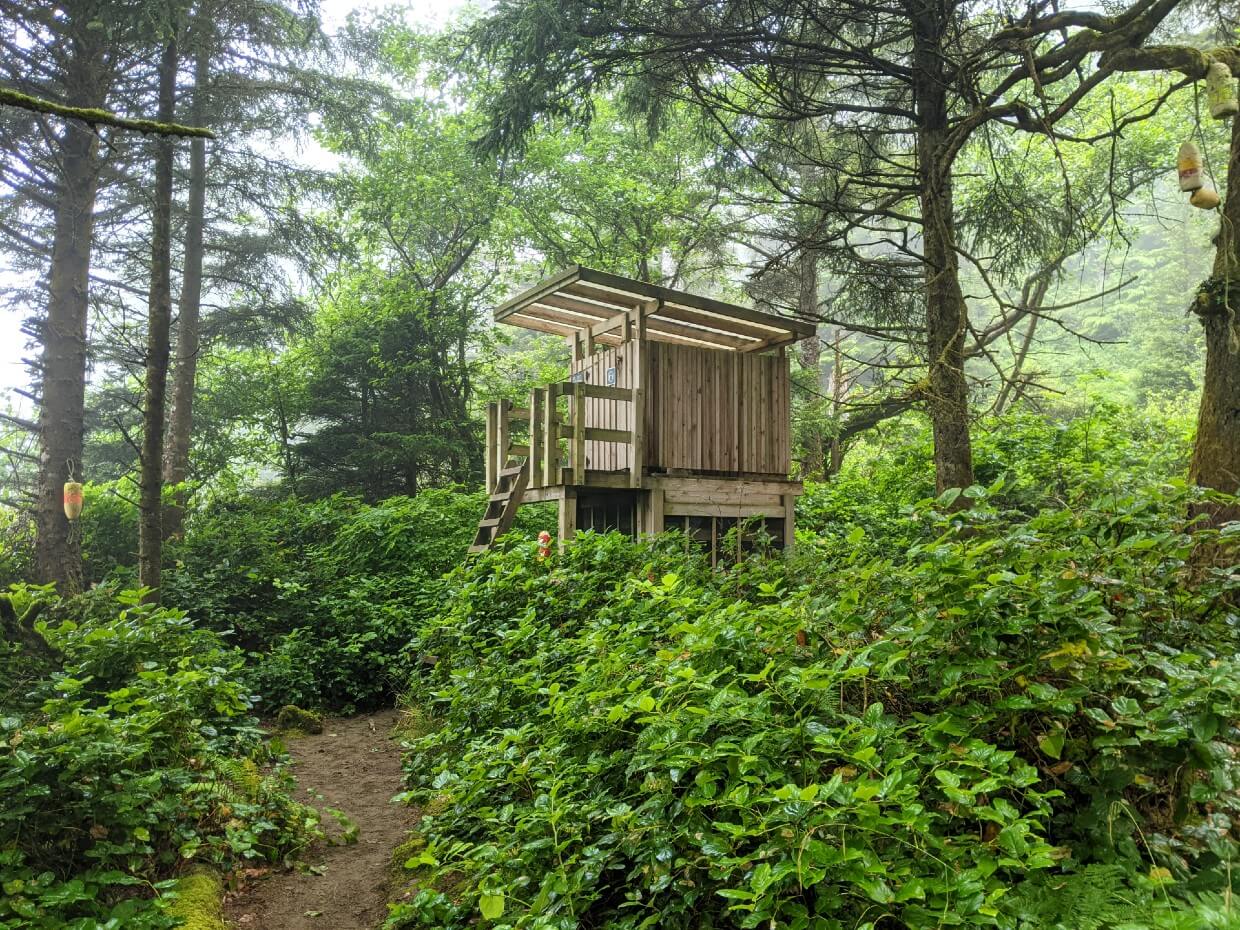
All but one of the designated West Coast Trail campgrounds have at least one outhouse. Some of the busier campgrounds have two.
The West Coast Trail outhouses are elevated, composting toilets. The waste (human and paper) is collected in the metal mesh cage below.
There is a large supply of sawdust in each outhouse, a scoop of which should be thrown into the toilet after each use.
Though well used, the WCT outhouses didn’t smell nearly as bad as others we have visited in the backcountry!
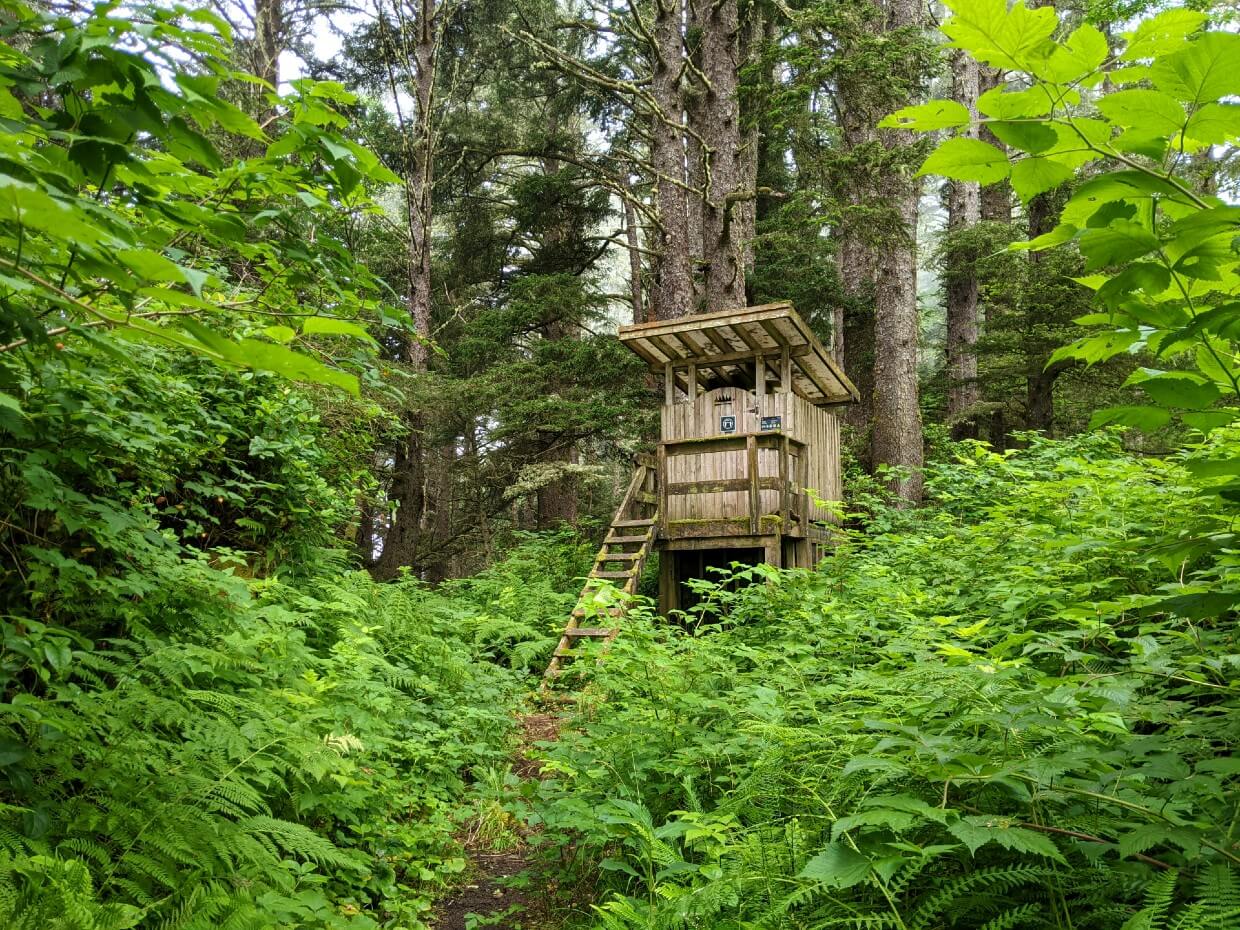
Most of the outhouses are only accessible via a ladder. Only two have steps. Each has a DIY lock of some kind as well. Toilet paper is not provided.
Besides those in the campgrounds, there are outhouses at the northern trailhead (Pachena Bay), near the Pachena Bay Lighthouse and at the Crab Shack (Nitinaht Narrows).
The only flush toilets close to the trail are at the southern trailhead in Gordon River, just behind the West Coast Trail office.
If you need to go to the washroom outside of the campgrounds:
- Pick a spot well away from the trail and also water sources (at least 70 steps)
- Dig a hole 15 to 20cm (6-8 inches) deep
- Cover the waste
- Dispose of your toilet paper in the next outhouse
Campfires
When there is no campfire ban, campfires are allowed on most of the West Coast Trail. The exception is between kilometers 34 and 38.
Campfires should be kept small, be located below the high tide line, consist of driftwood only and be extinguished with water (not sand).
Do not rely on cooking your food on a campfire. The West Coast Trail is subject to rain and damp conditions even in the height of summer.
Campfires were banned for most of the 2021 and 2023 West Coast Trail hiking seasons due to dry weather.
Parks Canada staff will advise of a campfire ban (if applicable) at the mandatory orientation, but it’s a good idea to check the BC Wildfire Service website for restrictions in advance of your trip. The West Coast Trail is part of the Coastal Fire Centre.
Essential WCT camping items
As well as the 10 Essentials and all of your regular backpacking equipment, I’d recommend the following items for West Coast Trail camping.
- Toilet paper. An absolute must as it is not provided in any of the outhouses along the West Coast Trail. Hand sanitizer is also a good idea
- Lightweight nylon dry bags. Ideal for food storage, dry bags are not waterproof in terms of full submersion but they will keep the rain off
- Camp sandals. A pair of water shoes is a must-have for the West Coast Trail, in case the cable cars are not working. It’s a bonus if your water shoes can double up as comfortable shoes to wear around camp. These Teva Hurricane Drift sandals worked perfectly for me – supportive, super lightweight (170g) and dry in a flash
- Lightweight tarp. While we didn’t use ours much in July, a lightweight tarp could be very helpful for shelter during the wetter months
- 15m of nylon cord/rope. A rope has many potential uses, such as an emergency bear hang (as mentioned above) or a drying line. Likewise, I’d suggest bringing at least one carabiner
- Small towel. Avoid tracking sand into the tent by cleaning your feet and gear with a small towel. If you think swimming may be a possibility, consider bringing a larger one to use for drying off too
Check out these other BC backpacking guides next:
13 of the Best Shoulder Season Backpacking Trips in BC
Mount Assiniboine Provincial Park: Complete Hiking Guide
Lake O’Hara Hiking and Camping Guide, Yoho National Park
25 of the Best Overnight Backpacking Trips in BC
West Coast Trail Alternatives: Best Coastal BC Backpacking Trips
Hiking the Iceline Trail, Yoho National Park: Complete Guide
Ultimate Hiking Guide to the Cape Scott Trail, Vancouver Island


One half of the Canadian/British couple behind Off Track Travel, Gemma is happiest when hiking on the trail or planning the next big travel adventure. JR and Gemma are currently based in the beautiful Okanagan Valley, British Columbia, Canada. Consider buying us a coffee if you have find any of our guides helpful!
Thank you so much for this detailed blog post, it helped so much! One this it didn’t address and is a major challenge is where to obtain a permit for the WCT specifically? I found booking for one of the 3 access points online, is this also the permist? I get so confused, with all these addtional fees and couldn’t find anything on the canadian website park website, they just mention “buy a permit” with no links.
Can you help?
Hi Darren,
Did you check out our main West Coast Trail guide? This post covers the campgrounds only. For information regarding securing a permit, navigate to the Reservations section of our guide. The WCT reservation system opened in January and there is not much availability left at this point. There are plenty of cancellations throughout the season, however, so you may still be able to get a spot. You will have to be flexible with dates, however.
Great write up, probably the best I’ve read. One note would be that the cabins at the Crab Shack are no longer heated as of 2024. Due to someone trying to dry a sleeping bag over the heater and leaving it unattended, thus starting a fire in the cabin.
Thanks for letting me know Stan!