
Kootenay National Park is one of the lesser-known parks in the Canadian Rockies, yet its northern boundary lies just 30 minutes drive from Banff townsite. It also has some of the most distinctive features of any of the parks in the Rockies.
Stretching 90km along Highway 93 and the Continental Divide, Kootenay National Park offers a contrast of landscapes from icy turquoise rivers to steamy hot springs, deep canyons, snow capped mountains and flower filled meadows.

Whether you’re stopping to take in roadside attractions such as waterfalls, canyons, and lakes, setting out on a day hike, relaxing at a scenic viewpoint, hoping to spot wildlife or camping under the stars, there’s something here for everyone.
JR and I live in BC and visit Kootenay Park at least once every year. We’ve hiked almost every trail, stayed at most of the campgrounds and explored the park during heat waves, deep winter and everything in between.

This post showcases the best things to do in Kootenay National Park in the summer months, the prime visiting season. This when the hiking trails, campgrounds and lakes are at their best.
At the end of the post, I’ll share recommendations about where to stay and some suggestions for one, two and three day itineraries.
This post includes affiliate links. If you make a purchase through one of them, we may receive a percentage of the sale.
Kootenay National Park
Let’s start with a few things to know about the park.
Established in 1920, Kootenay National Park is located on the traditional lands of the Ktunaxa and Secwépemc peoples, who have long used the area for hunting, fishing, and gathering. The park is named after the Ktunaxa people (formerly spelled Kootenay or Kutenai).
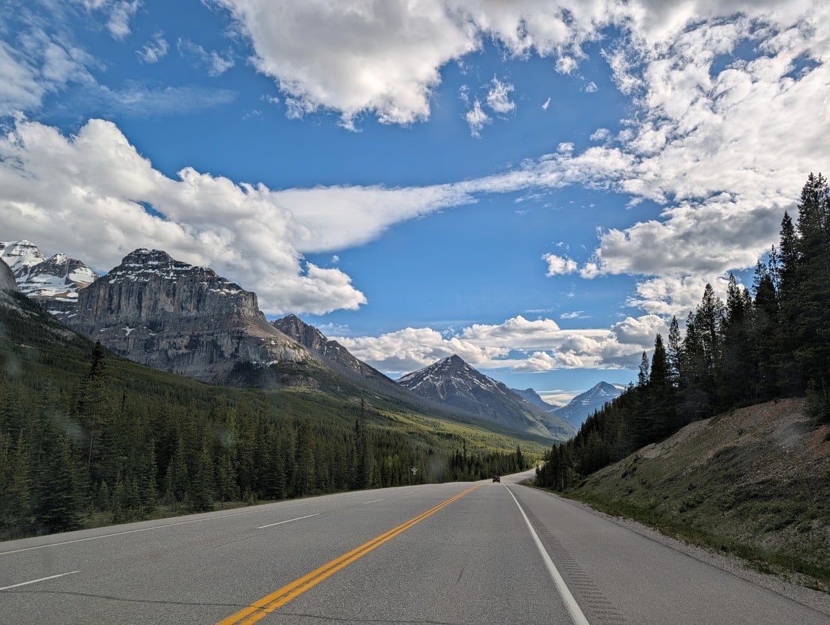
Most of the park’s experiences and facilities are centred along a 90km section of Highway 93 (the Banff–Windermere Road), formerly an Indigenous horse trail. The park borders Banff National Park to the north and stretches to the community of Radium Hot Springs in the south.
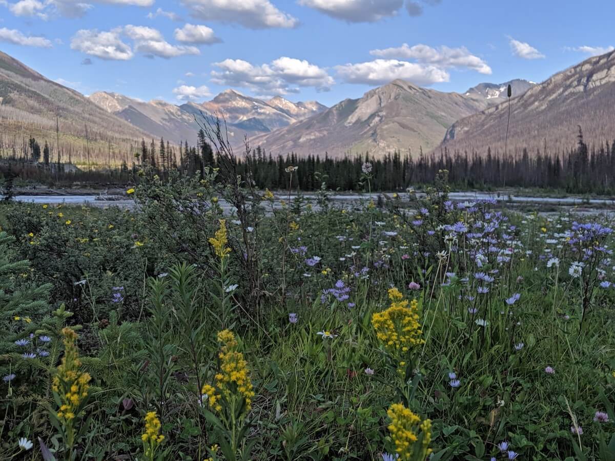
Wildfires have shaped much of the landscape, with roughly 24% of the park burning in the last 20 years. The most significant was in 2003. Expect to see areas of dead trees, often interspersed with abundant wildflowers.
My favourite time to visit Kootenay National Park is late June to early October. Expect warm weather and some of the year’s best hiking conditions. For multi-day hiking, the best time is mid July to late September.
Kootenay National Park is operated by Parks Canada. All visitors must have a valid park pass. Being part of the Canadian Rocky Mountain Parks group, a parks pass from Banff or Jasper is also valid in Kootenay.
From 19th June to 7th September 2026, the ‘Canada Strong’ program entitles all visitors to free entry, no park pass needed. There are still fees for camping, guided tours and other additional services.
Outside of this period, you can buy a park pass at the Kootenay National Park Visitor Centre and Radium Entrance Gate in Radium Hot Springs or in the other Canadian Rockies national parks. If you’re visiting for 7 days or more, it is better value to buy a Discovery Pass (annual pass).
Park highlights
- Beautiful mountain views from the highway, lots of roadside stops
- The best hot springs managed by Parks Canada in the Rockies (in my opinion!)
- Three frontcountry campgrounds, one with showers and hook-up services
- Good mix of hiking trails plus one of BC’s premier backpacking trips
- Unique features like the Paint Pots, the Continental Divide and the Burgess Shale
- High chance to see Bighorn sheep near Radium Hot Springs
Best things to do in Kootenay National Park
Let’s get started! The list begins with the most accessible places to visit (north to south) before moving on to the more adventurous options.
Couple of things to keep in mind before you plan a trip:
- Most of Kootenay National Park has no phone signal
- Download maps and any other information you need before entering the park
- Tell someone where you’re going and when you plan to be back, especially if hiking
- Be aware of wildlife (make noise, know what to do if you see a bear, carry bear spray on hikes)
- Leave No Trace – dispose of trash properly, stay on trails, follow signage
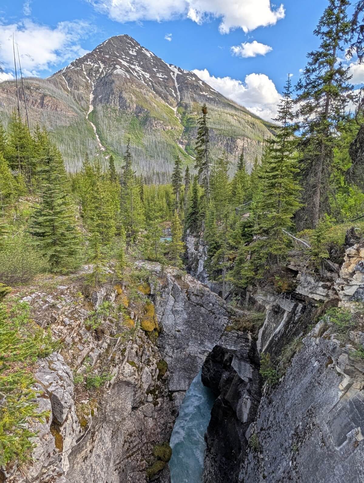
Marble Canyon
If you only have limited time to explore Kootenay National Park, Marble Canyon is an absolute must see. A short 30 to 45 minute loop hike (1km) traverses the rim of a deep gorge with spectacular views of a rushing turquoise coloured river and surrounding mountains.
The name of the canyon comes from the misidentification of the layered limestone as marble. The limestone has been carved by the river over thousands of years, creating an ever-deepening, pothole-filled canyon. Half a dozen bridges provide different vantage points.
Marble Canyon is less than 15 minutes detour from Highway 1, around 50km west of Banff. Despite this, it can be very quiet in the mornings and evenings. We last visited at 6pm on a Friday in late June and only saw one other couple.
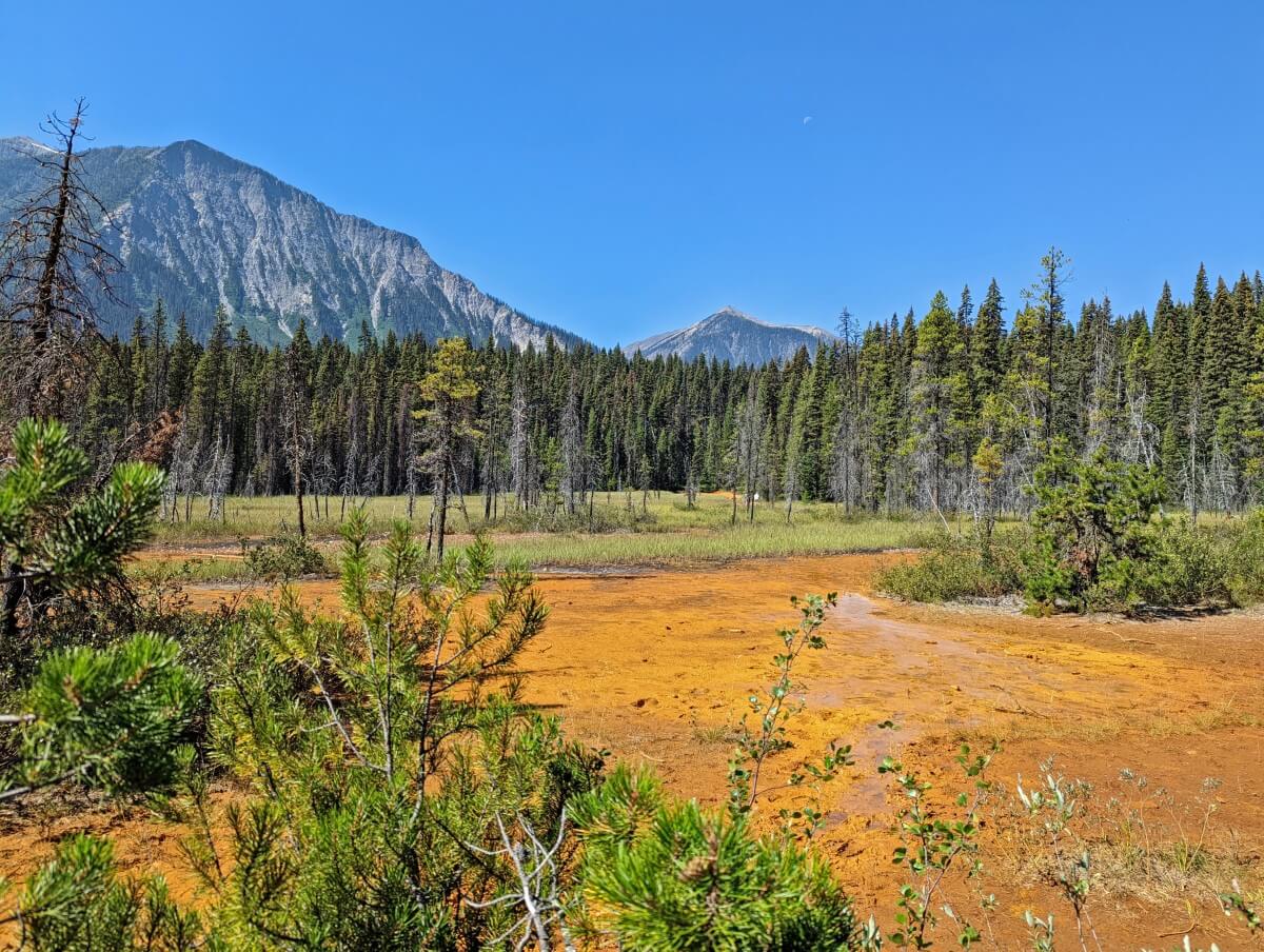
Paint Pots
The Paint Pots stand out as a unique attraction in Kootenay National Park. A short, flat hiking trail leads to three iron-rich mineral springs. The iron stains the surrounding earth bright orange, creating one of the oldest known natural pigments. It has been used by Indigenous people for generations.
A boardwalk was constructed a few years ago to traverse this notoriously muddy area. I still wouldn’t wear your best shoes though, as the orange pigment has a way of staining anything it touches.
Numa Falls
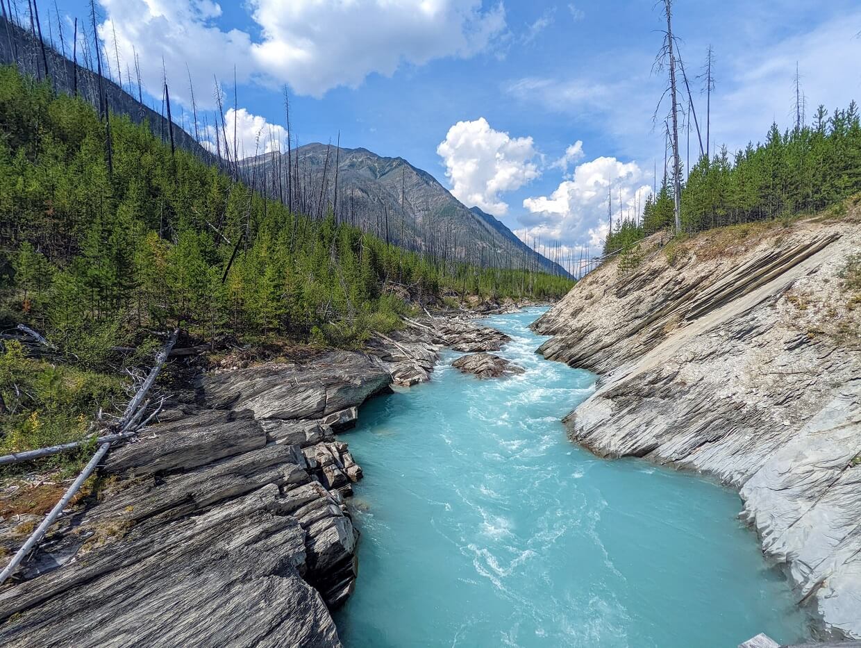
Numa Falls is a powerful, vibrant waterfall on the turquoise Vermilion River is just a few minutes walk from the parking area. A bridge crosses right over the canyon it sits in, so you can get a great view of the rushing water.
The strong currents have carved many holes and curves into the limestone rock. On sunny days, the spray of the waterfall often creates beautiful rainbows.
There are picnic tables here so it’s a good choice for lunch after visiting Marble Canyon and the Paint Pots.

Olive Lake
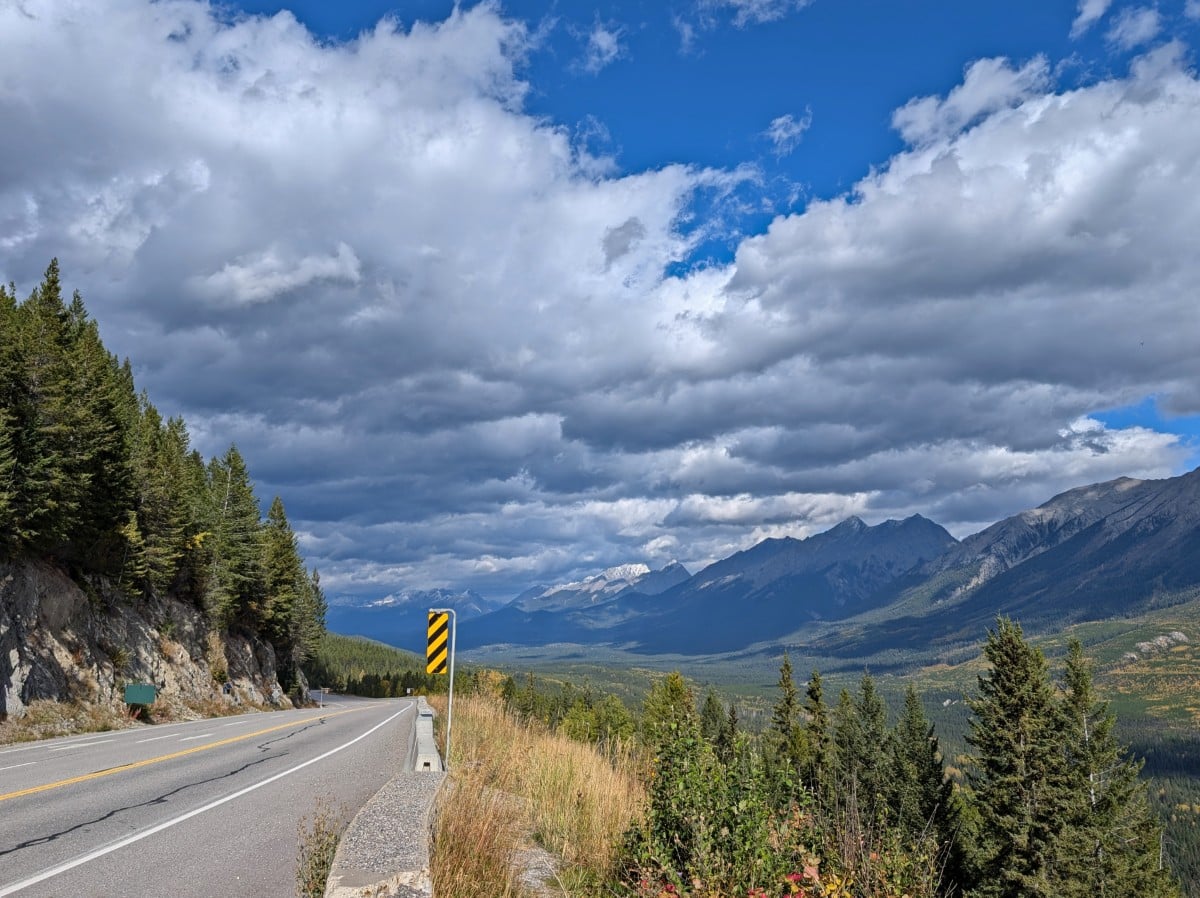
It’s difficult not to notice this amazingly green-coloured lake while driving south Highway 93! The colour of Olive Lake varies depending on the weather, though it still looks great on cloudy days (see below photo).
Stop at the roadside day use area and walk the short boardwalk to two different lookouts over the colourful water. It’s only 600m return and very flat. There are some interpretive signs along the way.

Roadside viewpoints and picnic areas
- Continental Divide – This day use area marks a section of the invisible line that separates North America’s major watersheds. All the water on the western slopes flows to the Pacific Ocean; everything on the eastern slopes travels to the Atlantic Ocean
- Simpson River – Even if you’re not going to hike the Simpson River Trail, it’s worth stopping here to check out the views of the turquoise water from the bridge and look for wildflowers
- Sir George Simpson – Named after a government of the Hudson’s Bay Company, this pullout offers some beautiful mountain and river views
- Dolly Varden Day Use Area – A great stop for families, with interactive exhibits about Parks Canada’s wildlife friendly bridges and underpasses. There is a covered picnic area as well
- Kootenay River Day Use Area – Riverside picnic tables and mountain views make this a good place to stop for lunch
- Kootenay Valley viewpoint – Enjoy the beautiful views over the Kootenay Valley and surrounding mountains. Parking is available on both sides of the road, be careful when crossing
- Redstreak Road Lookout – Located on the way up to the campground of the same name, this viewpoint looks across Radium Hot Springs to the Purcell Mountains
Radium Hot Springs
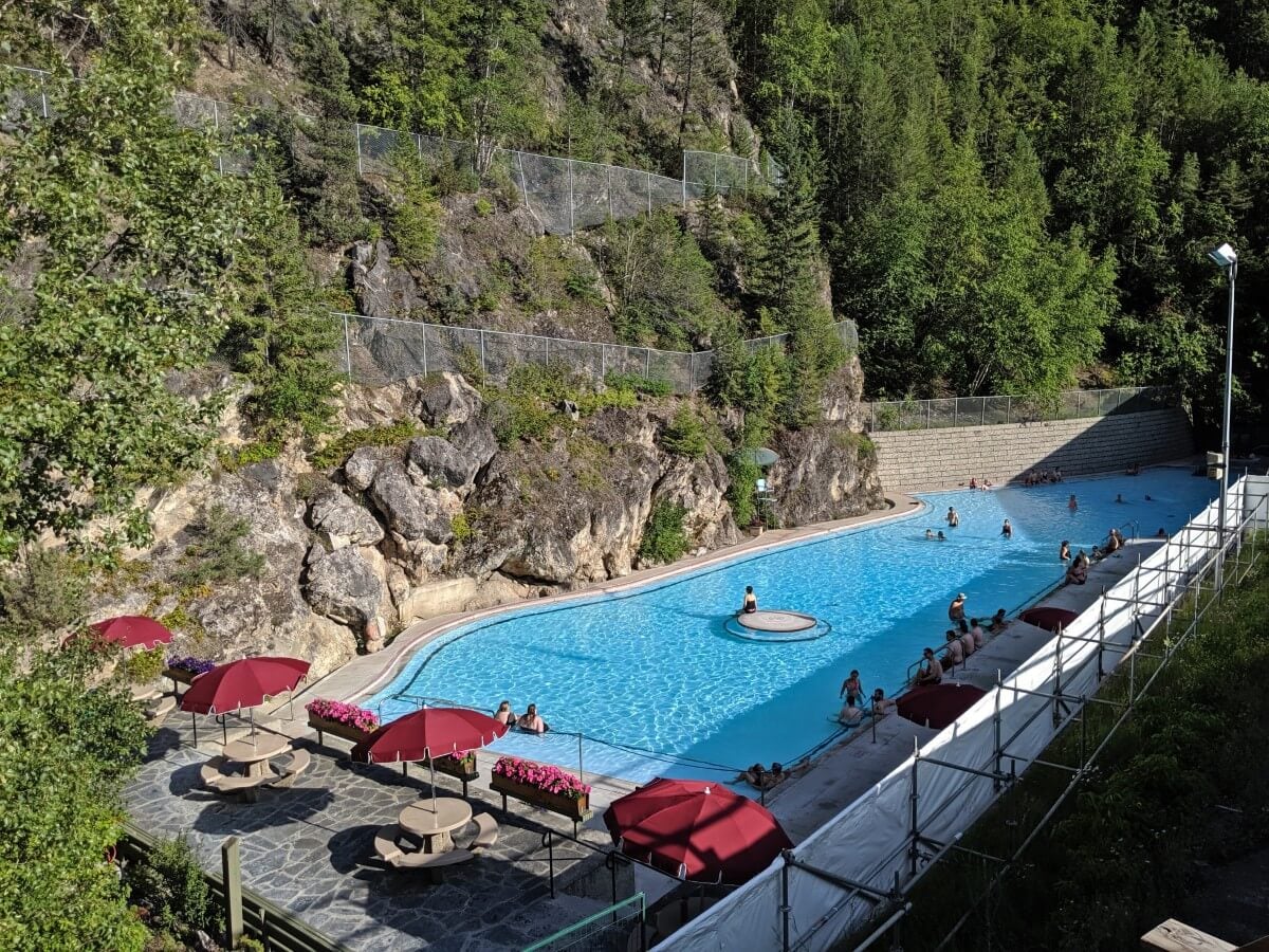
One of the reasons I love Kootenay National Park so much is the Radium Hot Springs pool complex. It’s a great place to soak sore legs after a long hike.
In my opinion, Radium Hot Springs is the best Parks Canada operated hot springs in the Rockies. The main mineral pool is so large that it never feels too crowded.
The hot springs are both super family friendly and accessible for people with disabilities. The setting is also wonderful, with rocky canyon walls rising high above the modernised 1950s era facility. There is a cool pool as well, ideal for the warmer summer days.
Sinclair Canyon
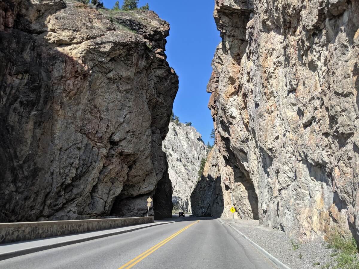
Exceptionally narrow Sinclair Canyon provides a dramatic entry/entry in and out of Kootenay National Park on the southern end of Highway 93. The rugged walls of this narrow gorge climb high and almost impossibly close to the two-lane road. Keep your eyes peeled for Bighorn sheep.
Take the chance to experience this stunning canyon up close on a short walk*. Park at Radium Hot Springs or in the small lot just north of the Kootenay National Park gates. The best viewpoint is just 200m from the parking area nearest the park gates. Look for the hidden waterfall just to the side of the highway.
*Please note that there is a major construction project in this area until October 2026 and pedestrian access is not permitted. Expect driving delays when passing through the canyon.

Stanley Glacier Trail
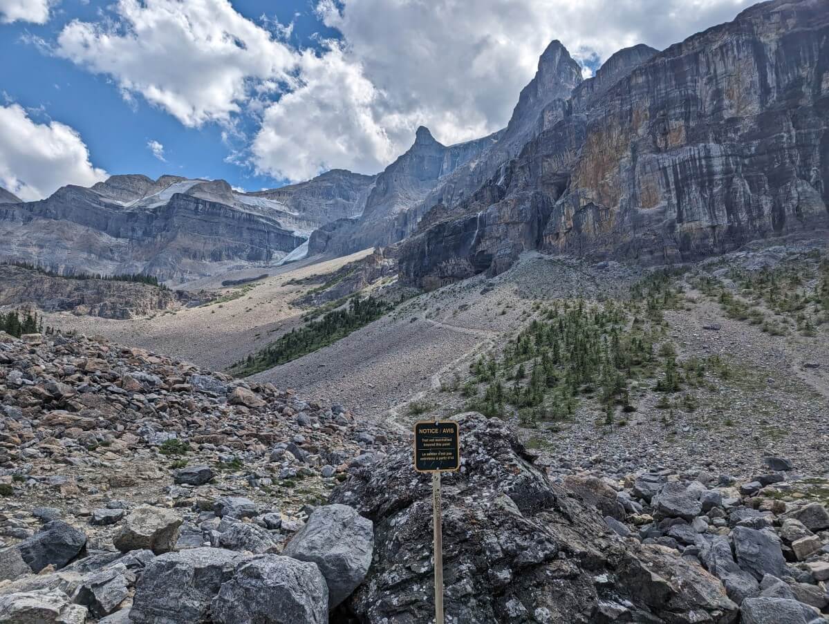
Stanley Glacier sits atop a hanging valley, above a wide rocky basin. Not only spectacular to look at, this is one of the few locations in Canada (and indeed, the world!) where the Burgess Shale formation is exposed.
The 8.4km return trail leading up to the basin offers the park’s best moderate hiking experience, with impressive vistas of the glacier itself as well as surrounding mountains, tall waterfalls and impossibly steep cliffs.
Adventurous hikers can continue beyond the maintained trail to the upper basin, via some steep scree slopes (10.8km return). Those who hike this challenging add-on route are rewarded with grand panoramas of the glacier valley. All the details are in our Stanley Glacier Trail guide.
For a shorter hike, check out the Simpson River Trail. The first 1.5km is mostly flat and has interpretive signage about wildfires. It ends at some Parks Canada red chairs. Another option is Dog Lake, which has muddy edges but is swimmable (5.1km return).
Floe Lake
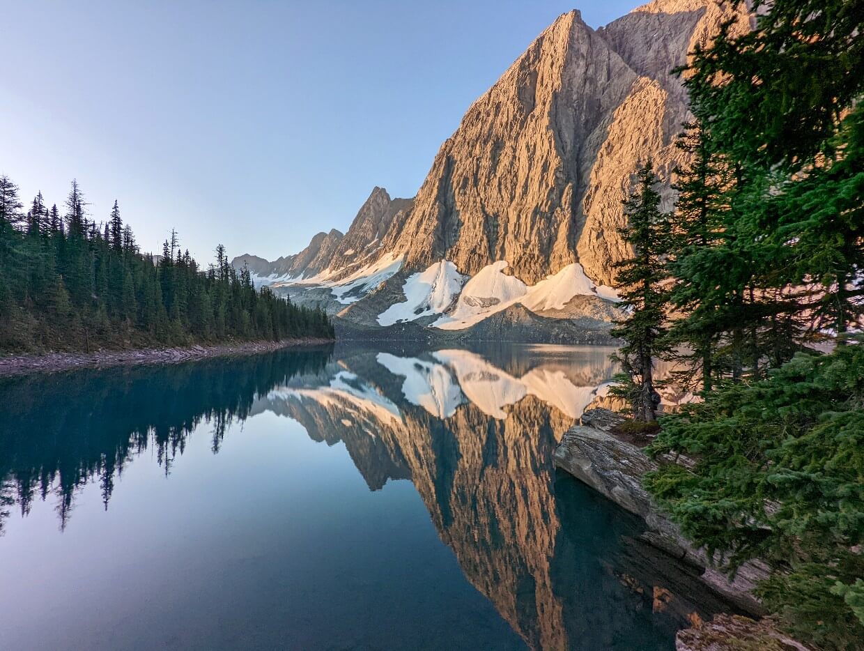
Floe Lake is one of the most beautiful lakes in the Canadian Rockies. Surrounded by towering peaks and shimmering turquoise on sunny days, it’s an incredible place to experience. You’ll need to earn the views, however, with a challenging 20km return hike that gains 770m in elevation.
Hiking to Floe Lake takes most of the day (7 to 9 hours with a stop at the lake). Alternatively, hike to Floe Lake as part of a multi-day adventure along the Rockwall Trail. There is a very popular campground (reservations required) right on the edge of the lake.
Depending on the year, the best time to visit Floe Lake is usually mid/late July to late September due to snow and avalanche risk. In the early fall, the larch trees above the lake turn golden. Check recent trail conditions before planning a trip. More details in our dedicated Floe Lake guide.
The Rockwall Trail
The 54km long Rockwall Trail climbs a total of three alpine passes, providing incredible views of mountain peaks, glaciers, wildflower-filled meadows, waterfalls and turquoise lakes. A significant portion of the trail parallels a huge rock cliff (the Rockwall).
Most hikers complete the trail in 4 or 5 days, staying at the backcountry campgrounds along the way. The hardest part of the experience is securing campground reservations, though you’d be surprised how often cancellations arise (we use CampNab to take advantage).
We’ve hiked widely in the Rockies and across BC, and the Rockwall is still one of my favourite backpacking trips of all time. It’s just stunning from start to finish. See our comprehensive Rockwall guide for all the details.

Where to stay in Kootenay National Park
Though there is no community directly in Kootenay National Park (unlike Banff or Jasper), Radium Hot Springs is very close to the southern boundary.
There’s a good choice of motels and hotel options in this small community of around 1,300 people. It’s a great base for day trips into the park, especially with the hot springs nearby – perfect for an evening soak after a full day of exploring.
The Piccadilly Motel is a solid choice for accommodation. This super clean, modern motel is the epitome of charming, especially with the bright red splashes of British memorabilia. It’s within walking distance of most local restaurants.

A good nearby alternative is the Destination Inn. We’ve also stayed at the Crystal Springs Motel (basic but quiet) and at the Radium Chalet (older but incredible views).
The northern side of the park is closer to Banff and Lake Louise. Our favourite place to stay in downtown Banff is Moose Hotel & Suites.
It’s also possible to stay just outside the boundary at Storm Mountain Lodge and Cabins. This 100 year old property is set on five acres of land in Banff National Park, just 10 minutes drive from Paint Pots.

Kootenay Park campgrounds
Campers have quite a few options in Kootenay, both in the frontcountry (vehicle accessible) and backcountry (accessible on foot). Reservations open in January each year – read my pro tips about how to secure one!
- Redstreak – This frontcountry campground is located in Radium Hot Springs. There are showers and some RV sites with hook-ups. The interpretative Letwilc7úl̓ecw Trail (1km loop) is accessible right from the campground and describes some of the local area’s medicinal plants
- Marble Canyon Campground – The most northern frontcountry campground in the park has some great views of the surrounding mountains. The sites are on the small side – suitable for tents and small RVs only. There are flush toilets but no showers
- McLeod Meadows – This forested frontcountry campground sits close to the Kootenay River. The sites are a bit larger than Marble Canyon and the short Dog Lake Trail is nearby. Again, there are flush toilets but no showers
For backcountry campsites, there are campgrounds at Floe Lake, Tumbling Creek, Numa Creek, Helmet Falls, Helmet – Ochre Junction (on the way to Helmet Falls) and Verdant Creek. Most of these are on the Rockwall Trail.

Kootenay National Park itineraries
Wondering how to put all these activities and trails in an itinerary? Check out these one, two and three day Kootenay trip plans!
One day
If you only have one full day in Kootenay National Park, I would visit the following (north to south):
- Marble Canyon
- Paint Pots
- Numa Falls
- Kootenay River Day Use Area
- Kootenay Valley Viewpoint
- Olive Lake
- Radium Hot Springs
Visiting primarily to hike? Choose between Stanley Glacier (moderate level, fossils, waterfalls, glacier view) or Floe Lake (more challenging, finishes at a beautiful alpine lake). Be sure to check the the trail conditions first, especially for Floe Lake.

Two days
An extra day will really help you get the most out of the park. This itinerary is aimed at moderate level hikers, camping at Marble Canyon overnight.
Day 1:
- Stanley Glacier
- Paint Pots
- Marble Canyon
Day 2:
- Marble Canyon (if not visited on day 1)
- Numa Falls
- Simpson River Trail and/or Dog Lake
- Kootenay River Day Use Area
- Kootenay Valley Viewpoint
- Other day use/viewpoints as desired
- Olive Lake
- Radium Hot Springs
Three days
If you’re a keen hiker, you’ll be able to explore most of the trails in Kootenay National Park in three days. With the extra day, hike to Floe Lake.
Those with camping gear and luck with the backcountry reservation system should consider taking on a short section of the Rockwall (e.g. Paint Pots/Helmet Falls/Tumbling Creek loop).

Related posts you may find helpful
The Best Things to do in Jasper National Park, Alberta
BC’s Columbia Valley in Fall: The Best Things to Do & See
Canadian Rockies Road Trip Loop: Detailed 9 to 12 day Itineraries + Map
The Best Hot Springs in BC: Complete Guide
Ultimate 2 Week Western Canada Road Trip from Vancouver
Check out these recently published posts:

One half of the Canadian/British couple behind Off Track Travel, Gemma is happiest when hiking on the trail or planning the next big travel adventure. JR and Gemma are currently based in the beautiful Okanagan Valley, British Columbia, Canada. Consider buying us a coffee if you have find any of our guides helpful!
Gemma:
Your review of Kootenay Park is over-the-top fantastic! Accurate and good advice. I worked at Vermilion Crossing Bungalows (now called Kootenay Park Lodge – which I see has gone bankrupt) when I was a kid. My brother was Warden there, and we did a patrol one time; Paint Pots and out Numa in a day! Then he took me to Floe Lake on another trip. I can’t do the backpacking at this stage in life; too far, but I will try to tackle Floe in a day this summer. Very good writing!
Thank you so much! It’s so interesting that youe brother was a warden in the park and you also worked there too. I did reearch Kootenay Park Lodge while writing this guide as I’ve wondered why it has been closed for so long.