
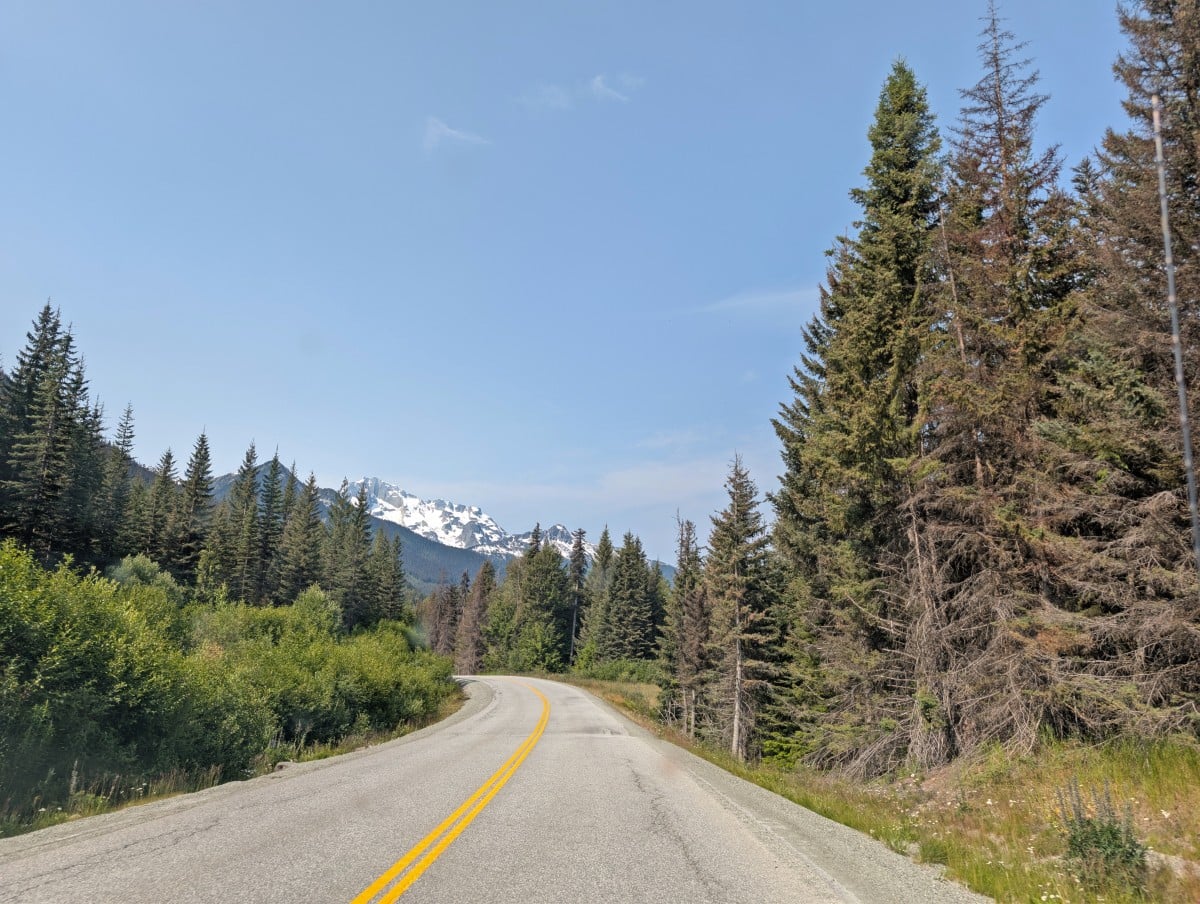
The Duffey Lake Road, part of Highway 99, connects two distinctive communities, each with its own unique character and surrounded by dramatically different landscapes. Along the way, enjoy views of turquoise lakes and rivers, snow-capped peaks, vast glaciers and waterfalls.
From the lush alpine scenery of Pemberton to the dry, rugged beauty of Lillooet, this 100km long road trip showcases the remarkable geographic diversity of British Columbia’s interior.
This is one of those journeys that is every bit as rewarding as the destination – especially when you take the time to step off the road and explore on foot.
For all these reasons, the Duffey Lake Road is well worth adding to your BC travel list, either as a standalone road trip or as part of a longer journey through the province.
This post shares our favourite stops along Highway 99 between Lillooet and Pemberton, from hiking trails and campgrounds to roadside viewpoints and day use areas. At the end, I’ve also included driving advice and accommodation recommendations.
We recently returned to this region for the first time in many years and were instantly reminded of the incredible variety packed into this area of BC. We spent five days exploring this region and still left with plenty of reasons to return.
This region is part of the traditional territory of the St’át’imc people. Note that at the time of writing there are nearby wildfires that may impede travel. Please check Wildfire BC first. Always Leave No Trace as you explore.
There are affiliate links in this post. If you make a purchase via one of these links, we may receive a small percentage of the sale.
Pemberton to Lillooet road trip map
Use the below map to locate the featured stops between Pemberton and Lillooet.
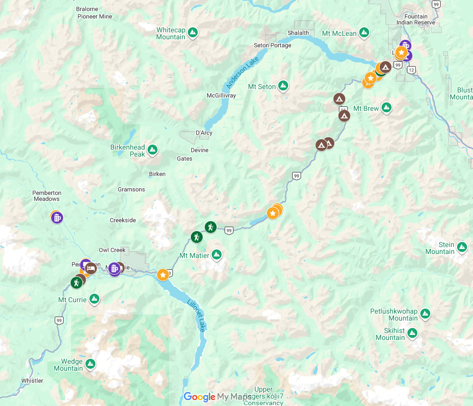
Where to stop on the Duffey Lake Road (Highway 99)
Time to share all of our favourite places to check out between Pemberton and Lillooet!
The following locations are accessible in the summer months, from late June to early September. Most can be visited between mid-spring and mid-autumn, weather permitting.
This guide is written from south to north (Pemberton to Lillooet) but it works well in reverse too.
Pemberton
The village of Pemberton is home to around 3,600 people. Despite feeling more remote than Whistler (30 minutes drive south), it is typically warmer due to its lower elevation, valley microclimate and the rain shadow effect.
This community has been growing a lot in recent years, with new residents drawn in by its combination of agricultural roots and world-class outdoor recreation. Until recently, we’d never really spent much time in the area. I loved its small size, laid back feel and, of course, the mountain backdrop.
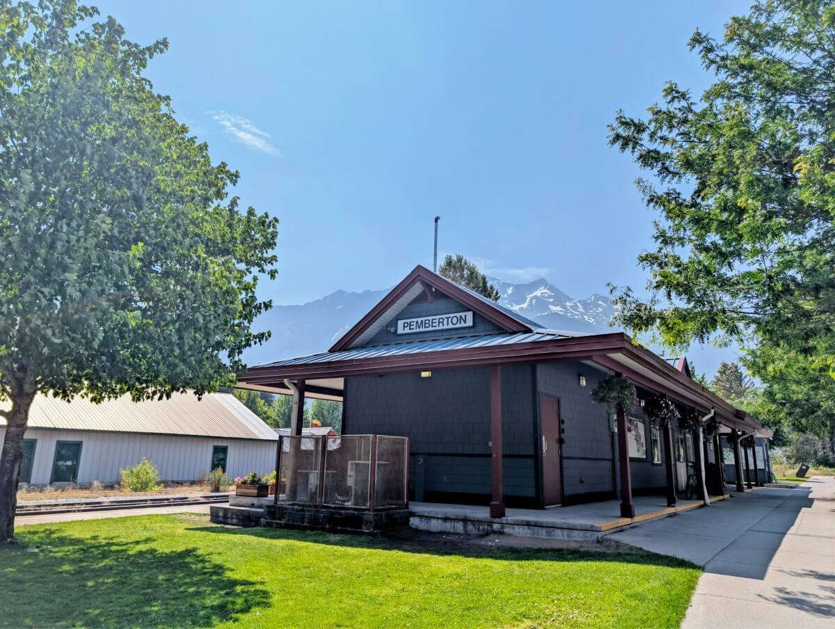
- Downtown Pemberton – Take a walk along Frontier Street and explore local shops, cafes and restaurants. Blackbird Bakery is located in the historic railway station building
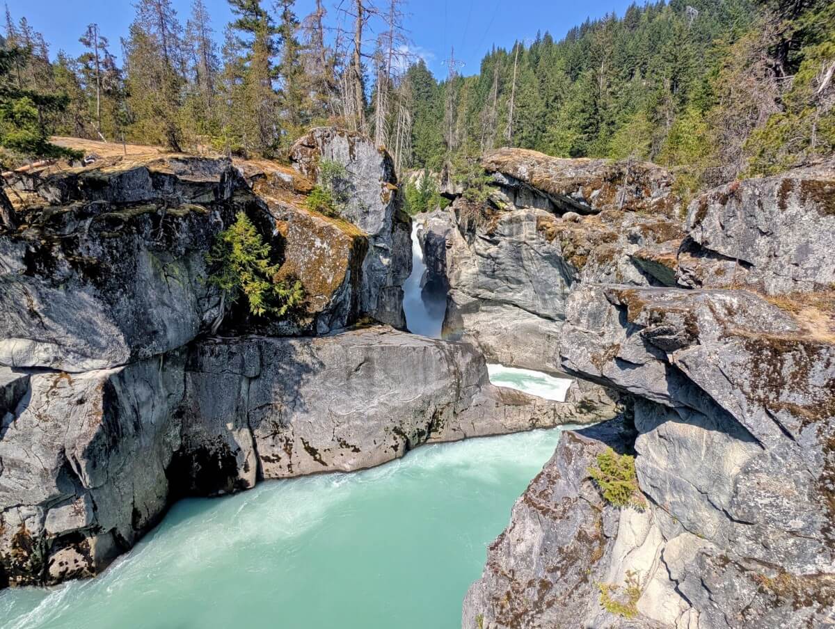
- Nairn Falls – Just outside of Pemberton, a 2.7km return trail follows the Green River through a forested canyon to a series of powerful waterfalls. A must see while in the area!
- One Mile Lake – Need to cool down? Join the locals for a dip in this icy cold lake, backdropped by impressive peaks. Please note – closed at time of writing due to wildfire risk
- Farm Stand Tour – Make the most of Pemberton’s agricultural bounty with a road trip to local farm stands selling fruit, vegetables, flowers, meat and pantry items). We loved Helmer’s!
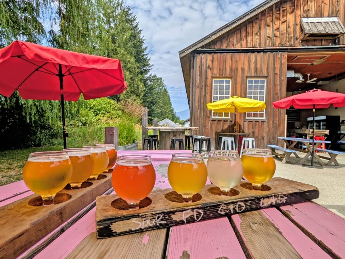
- The Beer Farmers – Located on a 4th-generation organic family farm, this relaxed craft brewery grows its own barley and hops. Enjoy a beer on the sunny patio with mountain views
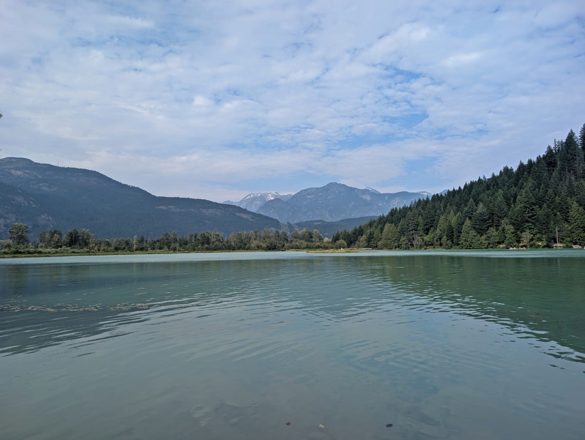
Pemberton Industrial Park
While an industrial park may seem like an odd place to stop, there are at least two good reasons – the British Baker and Pemberton Brewing Company.
Of course, the latter is less appropriate when leaving Pemberton but a cold beer at the end of the drive from Lillooet is hard to beat. Pemberton Brewing has a small tasting room with a sunny mountain view patio. They sometimes have a food truck.
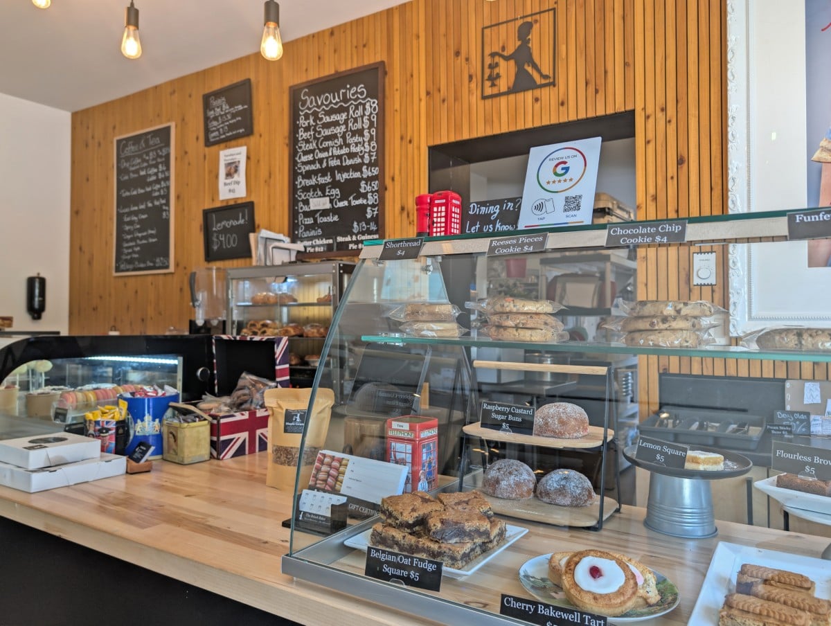
The British Baker is a lovely little spot serving coffee, pastries, pies, sausage rolls, scotch eggs and a large choice of sweet treats. Originally from England, my interest was obvious but I do think it’s a great place to grab some food for the road.
In-SHUCK-ch Forest Service Road turn-off
As of the time of writing (late July 2026), the In-SHUCK-ch Forest Service Road is restricted to local traffic only due to the Twin Two Creek wildfire.
If you’re driving a vehicle suitable for unpaved roads, consider extending your adventure onto the start of the In-SHUCK-ch Forest Service Road. The route follows the shores of 25 km long Lillooet Lake and provides access to several Recreation Sites with low-cost camping options.
Joffre Lakes (day pass/reservation required)
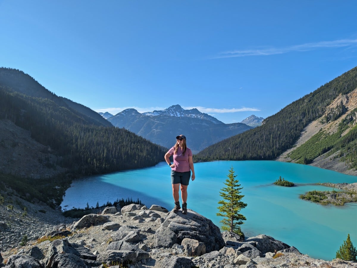
Joffre Lakes is the most famous stop on the Duffey Lake Road. This trio of glacier-fed lakes is the epitome of alpine beauty – turquoise water, glaciers, snow capped peaks and waterfalls.
The first lake is just a few minutes walk from the parking area, with the second 2.6km (with 340m elevation gain) further and the final lake another 900m (and 70m additional elevation gain). For hikers with mountain experience, the difficulty of the return hike is on the low side of moderate.
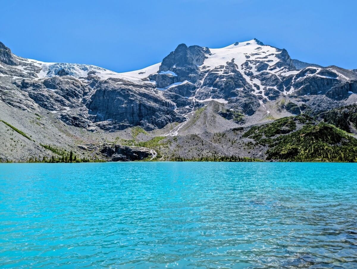
With such a high effort to reward ratio, it’s no surprise that Joffre Lakes became extremely popular in the mid-2010s. A seasonal day pass system was introduced in 2021 to help manage crowds, along with annual closures to for the Líl̓wat Nation and N’Quatqua to reconnect with the land.
To visit any of the lakes in the summer months, you’ll need to secure a free day pass two days before via the BC Parks website. The system opens at 7am each day, with 500 available.
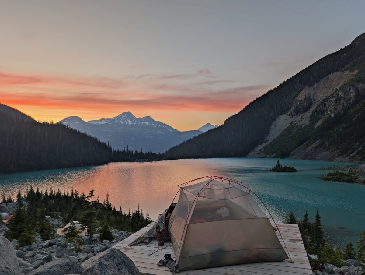
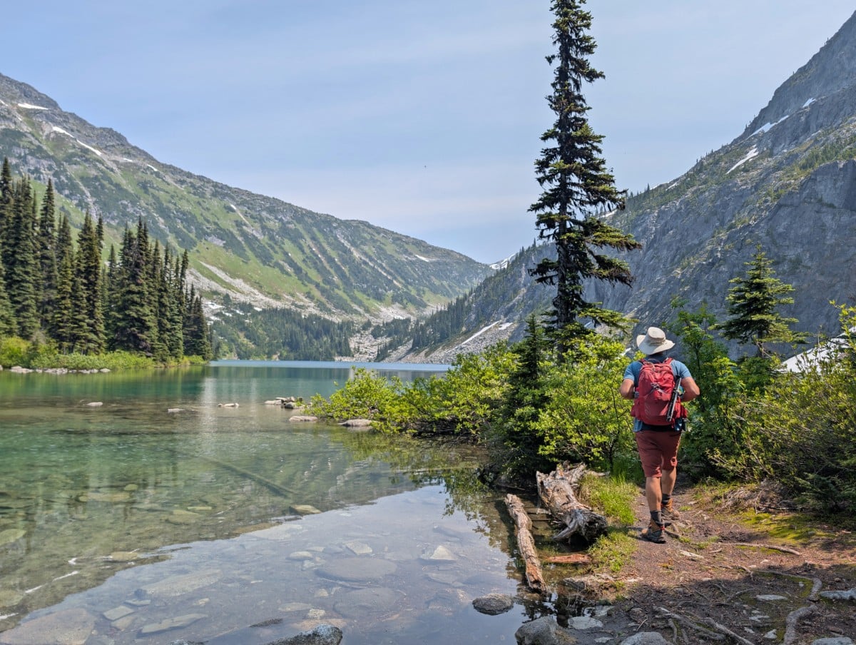
Alternatively, reserve a spot at the backcountry campground at the back of the third lake. Being able to stay overnight here is pretty magical! A more challenging nearby hike that doesn’t require day passes is Rohr Lake (10km return from the highway, 530m elevation gain).
Duffey Lake viewpoints
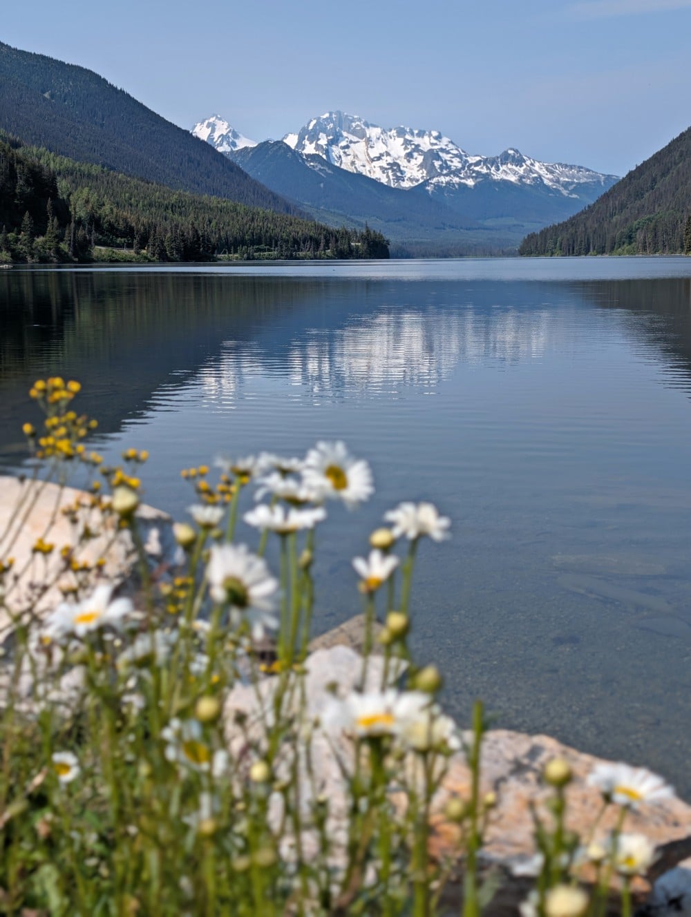
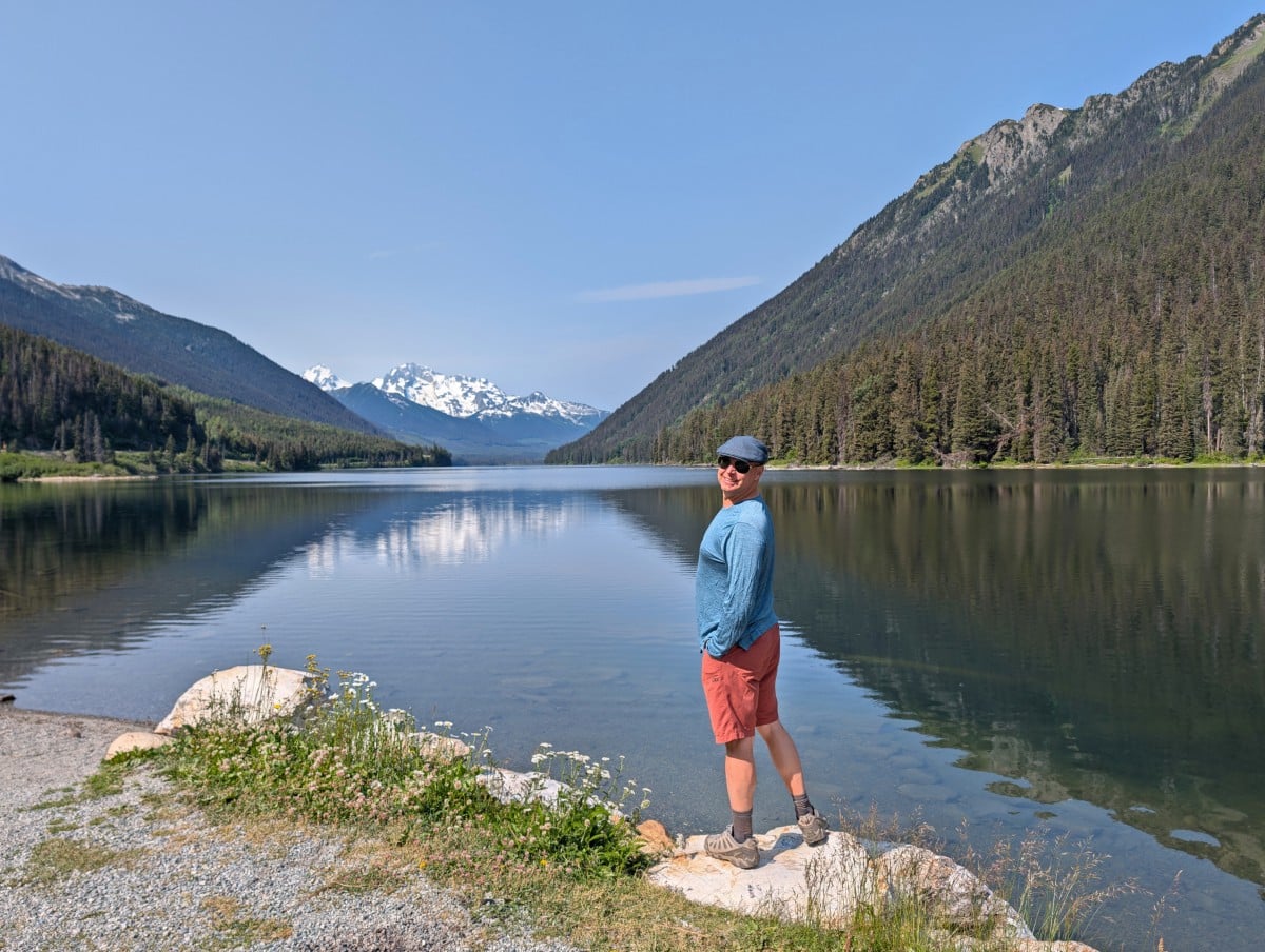
Highway 99 follows the shoreline of 6km long Duffey Lake, originally known as ‘Teq’ to the Líl̓wat people. Teq means ‘blocked’ or ‘stuck, to be in the way,’ referring to the log jam close to the boat launch at the northern end.
Part of a provincial park of the same name, Duffey Lake is glacier fed and therefore very cold, even in summer. On calm days, the lake reflects its mountain backdrop, specifically the snowy peak of Mount Rohr (2423m).
There are a few different viewpoints of the lake, all of them on the northern side of the road (heading towards Pemberton). The most popular one is at the boat launch.
Rogers Creek/Gott Creek/Cottonwood/Cinnamon Recreation Sites
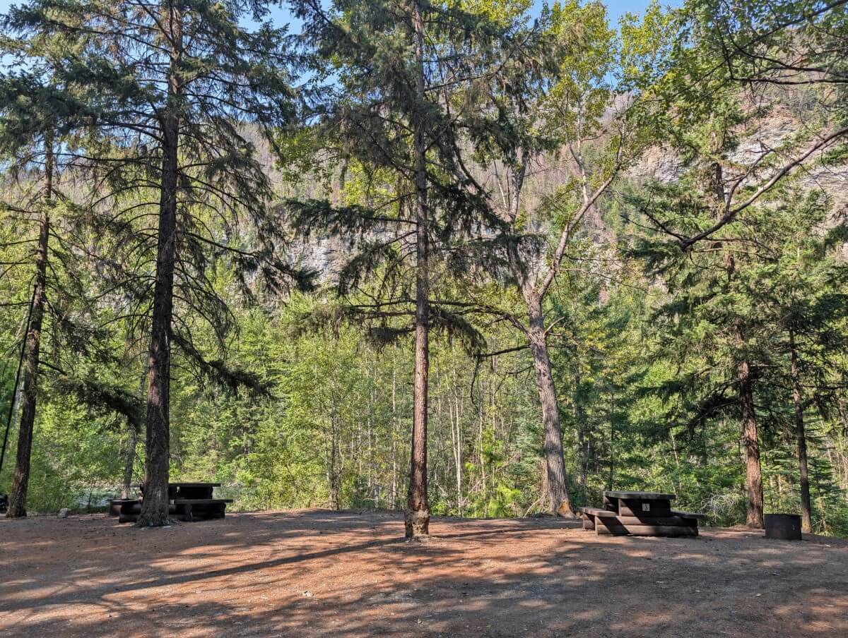
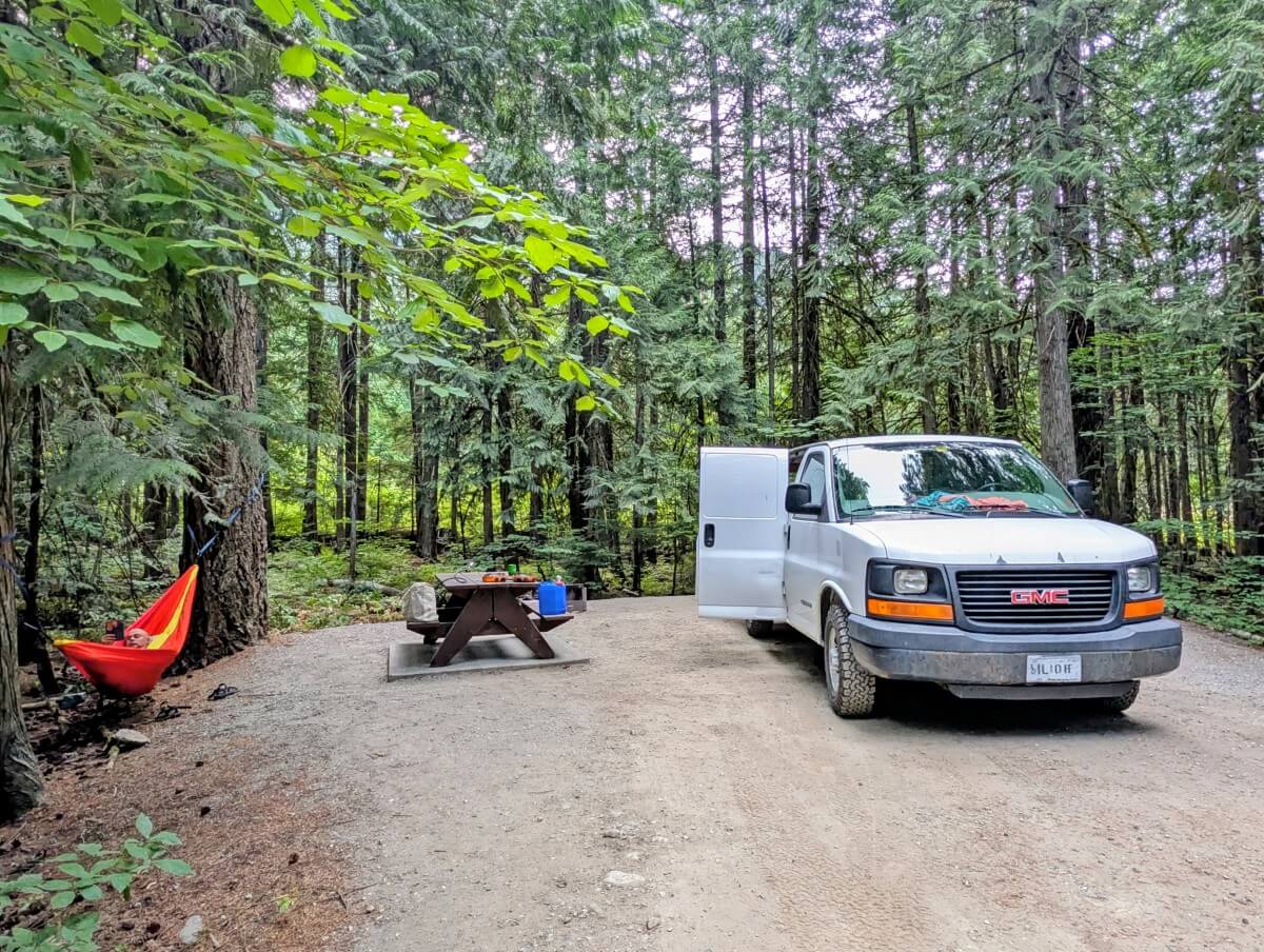
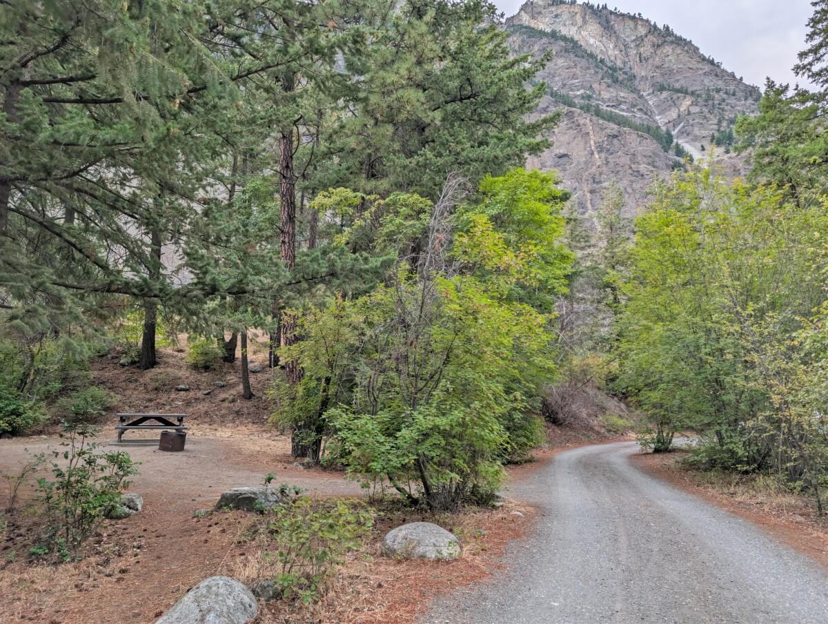
There is a series of four Recreation Sites along this section of Highway 99, offering day use opportunities and low cost camping ($15/night/per site, cash only). Each is forested and situated next to Cayoosh Creek, so expect plenty of shade and white noise.
Recreation Sites are rustic camping areas that operate on a first come, first serve system. Individual sites usually have picnic tables and fire pits. There’s no potable water (bring your own or filter from the creek), trash or other services.
- Rogers Creek – 14 sites (note, two entrances)
- Gott Creek – 7 sites
- Cottonwood – 17 sites
- Cinnamon – 11 sites
I’d recommend these sites to tent users, vans and small RVs only as there isn’t a lot of space to manoeuvre larger vehicles. We visited Cottonwood and Cinnamon on a Monday in mid July and found only a couple of camping groups.
Valley viewpoints
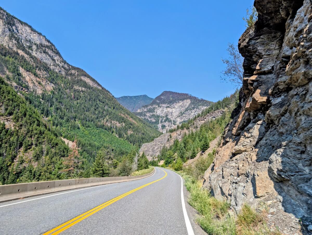
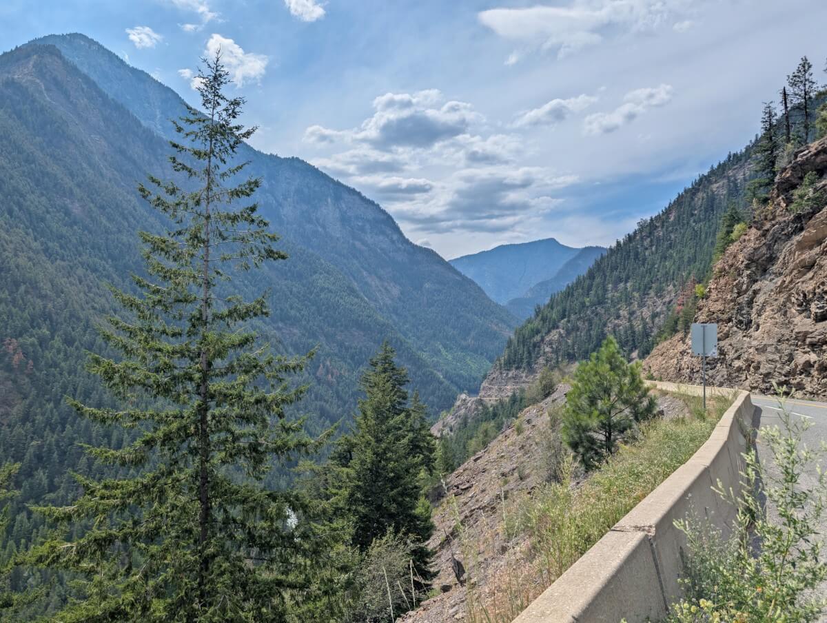
The final 15km approach to Lillooet is the most winding of the entire route, as the road descends into a steep-sided valley high above Cayoosh Creek. Forested mountains tower above, rock walls line the road and the landscape gradually transforms from alpine wilderness to the dry Fraser Canyon.
This section features a number of different roadside viewpoints, all located on the southern side of the road (in the direction of Lillooet). Take the chance to get out and stretch your legs, while taking in the enormity of the scenery around you.
The final pull-out has a large ‘Lillooet Guaranteed Rugged’ sign, which also signifies that your drive on the Duffey Lake Road is almost done!
Seton Lake lookout
This gravel pull-out features interpretive signage about Lillooet and some obscured views of Seton Lake (more details below).
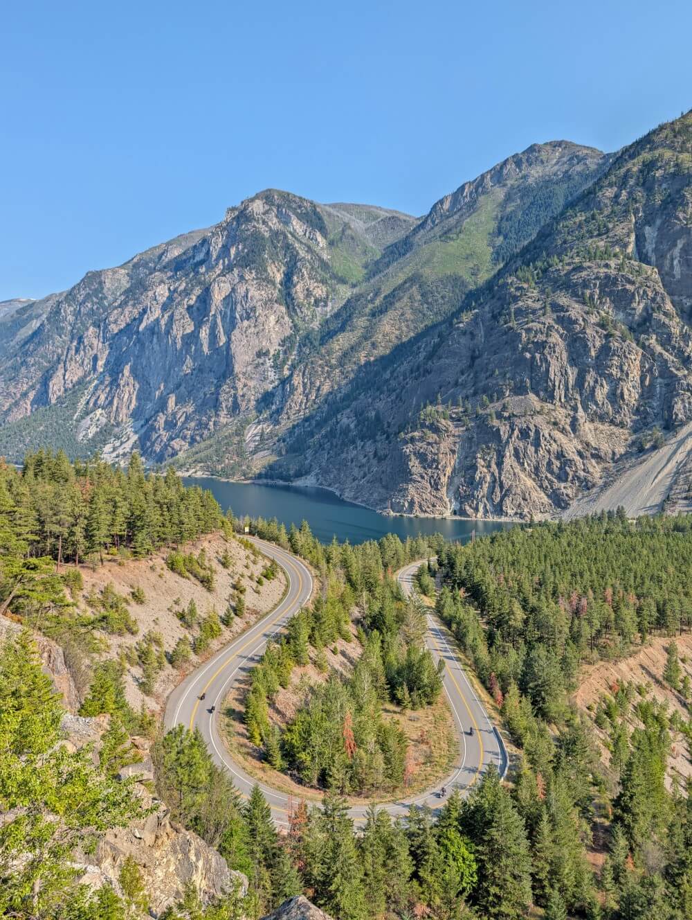
The real reason to stop here, however, is the short 1.2 km return hike to a lookout overlooking a sharp horseshoe bend in the highway, with the turquoise lake and surrounding mountains as a spectacular backdrop.
It’s uphill on the way there, with a rocky traverse to the actual viewpoint. There’s no signage and lots of side trails, so I’d recommend using AllTrails or Organic Maps (download the relevant maps in advance as there is no phone service).
Some people refer to this spot as the ‘Lulu Lookout,’ as it resembles the Lululemon logo. Whatever it is called, this little hike is definitely a worthwhile stop. As well as taking in the scenery, we enjoyed watching the traffic navigate the tight turn.
Seton Lake viewpoint and recreation area
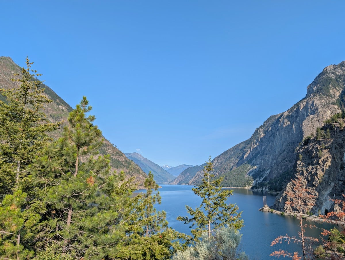
22km long Seton Lake is a beautiful turquoise lake backdropped by steep mountains. It’s fed by glaciers, which accounts for the gorgeous colour. Seton Lake is also part of a major hydroelectric power development which was built after WWII.
There is an viewpoint area located adjacent to the highway, offering an elevated view looking up the lake. For a closer view, continue down the narrow side road to the lakefront recreation area. There’s beach access, with picnic benches and washrooms. Even in summer, the water is pretty cold.
Lillooet
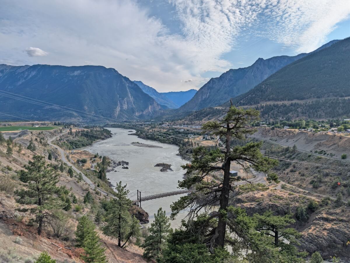
Welcome to Lillooet, a community of around 2,300 people perched above the Fraser River. This is one of the oldest continuously inhabited settlements in North America, with thousands of years of Indigenous history.
Lillooet was a pivotal hub during the 1858 Fraser Canyon Gold Rush and is also well known for its hot summer weather. The dry, rugged landscape is certainly quite a contrast from the forests, glaciers and lakes found along the Duffey Lake Road.
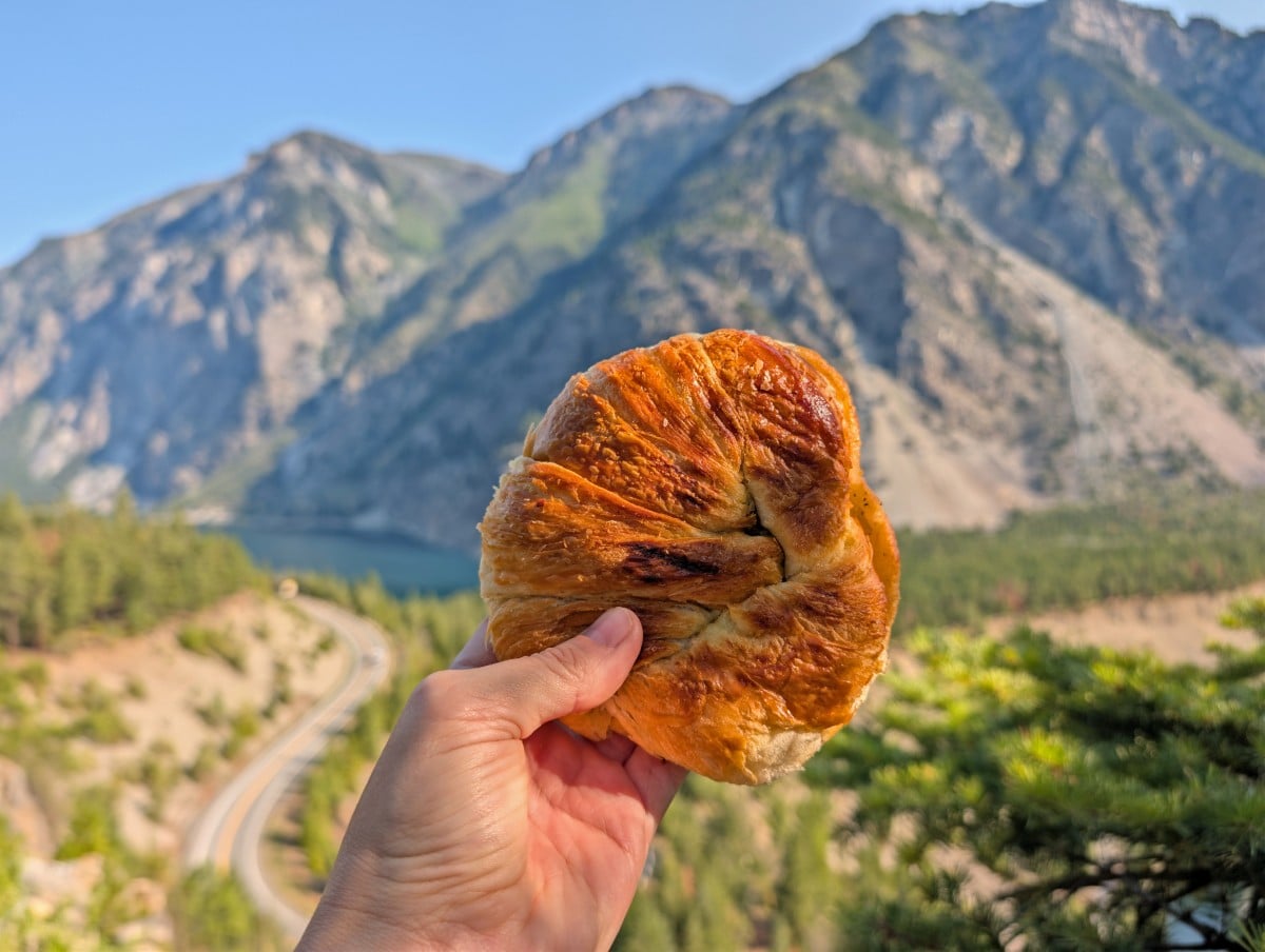
- Abundance Artisan Bakery – This welcoming café in the heart of town is popular with locals and travellers alike. We love the homemade buttery, flaky croissants and rich shortbread cookies. The patio is a perfect place to take a break from the road
- Fort Berens Estate Winery – Lillooet’s hot, dry climate enables this 15+ year old winery to produce award-winning wines in one of BC’s most unusual wine regions. Take in the views of the surrounding peaks while enjoying a tasting and a locally inspired charcuterie board
- Lillooet Brewing Company – Full disclosure, we didn’t get to try the beers as we arrived too late on our last visit to Lillooet but the mountain views from this brewery are incredible!
- Lillooet Museum and historical sites – Learn more about Lillooet’s long history at the museum, located inside a former Anglican church. There are also 20 interpretive panels to read at historical sites around town, including at the Hangman’s Tree (100+ year old gallows)
Pemberton to Lillooet road trip: Essential details
The driving distance between Pemberton and Lillooet is 100km. Plan for the journey to take at least 2 hours, without any stops.
Travellers who take a moment to pause at the main viewpoints should expect to spend another half hour or so on the road.
Allow half a day if you want to explore more areas, such as the shoreline of Seton Lake or the Seton Lake Lookout. A full day is needed if you have a day pass to hike Joffre Lakes.
The only way to spend a night directly on the route is to camp. And if you do, there are plenty of options, as described above. Otherwise, plan to stay in Pemberton or Lillooet (suggestions below).
A lot of people drive from Pemberton to Lillooet as part of a longer road trip. For example, it’s a great way to travel from Vancouver to Jasper National Park, via Whistler and Clearwater (Wells Gray Provincial Park).
For that reason, it features on many of our other road trip guides, such as our 2 Week BC Coast and Rockies Road Trip and Ultimate 2 Week Western Canada Road Trip from Vancouver. More inspiration, can be found in our best BC road trips guide.
Driving advice
Before you set out, there are a few more things you should know about driving this section of Highway 99.
- The Duffey Lake Road is a mountainous route, featuring steep grades, tight switchbacks, narrow sections and several single lane bridges. Concentration is needed. Don’t expect to use cruise control
- This is not a road trip for people in a hurry. Expect to drive no more than 60km/h for the entirety. There are no passing lanes and limited opportunities to pull over
- Driving a RV? It’s possible but extra care and attention is needed, especially if you have a large rig. The steepest grades are 13% and the tighest corners have 20km/h warnings
- People who have issues with motion sickness or steep drop-offs may have difficulty with this road trip. Expect many, many turns, some of them sharp. The final approach to Lillooet features very steep drop-offs on the southern side.
- There are no services, gas stations or rest areas between Mount Currie (8km east of Pemberton) and Lillooet. Check your gas before leaving and make sure you have everything you need for the journey
- There is limited phone signal in this area. Download offline maps for navigation before you go. A Vancouver Coast and Mountains Backroad Mapbook is helpful if you’re exploring beyond the main viewpoints
- Tell someone where you are going and when you plan to be back. This is particularly important if you are hiking or camping in the backcountry
- As mentioned, this guide was written for summer travel. Winter travel along this stretch of Highway 99 can be very challenging, especially during storms and after snowfall. This route is best avoided during and after heavy rain as well, as mud slides can occur
Where to stay in Pemberton and Lillooet
Pemberton and Lillooet are both small communities, so accommodation options are limited. I’d recommend booking early, especially for weekends. For Pemberton, another option is to stay in Whistler.
The Pemberton Valley Lodge is an all-suite hotel situated just off Highway 99. The rooms have kitchens and the outdoor pool is a bit hit with families. A short drive away is the Indigenous-owned Hitching Post Motel, featuring comfortable and spacious rooms.
One of the highest rated places to stay in the Lillooet area is Retasket Lodge. This 20 room motel has an incredibly quiet location, just up the hill from downtown, with beautiful views of the mountains.
Nairn Falls Provincial Park is Pemberton’s closest campground, with 94 sites set into a mixed temperate forest next to the icy cold Green River. While it’s a great place to be (and convenient to visit the falls), the upper third of the campground does experience noticeable highway noise.
Reservations operate on a three month rolling window. Try to book the most ‘southern’ site you can, ideally by the river for the white noise. Cancellations are relatively common – BC Parks has a free notification system.
Over in Lillooet, the BC Hydro Seton Lake Campsite is our top pick. Located next to Cayoosh Creek with mountain views, it offers 45 individual campsites plus an overflow area. Sites are available on a first come, first serve system. We secured one of the last sites on a Sunday in July at 6.30pm.
We love this campground as it is not only free, scenic and convenient (just 6km from Lillooet!), but the overflow area also reduces a lot of stress. This large open space is ideal for RV and van campers who love the flexibility to arrive late and not worry about securing a private spot.
These related posts may be helpful
17+ of the Best Day Hikes in British Columbia
The Best Vancouver to Calgary Road Trip Routes
BC’s Best Backpacking Trips: 60+ Suggestions
23+ of the Best Provincial Parks in British Columbia
Check out these recently published posts:

One half of the Canadian/British couple behind Off Track Travel, Gemma is happiest when hiking on the trail or planning the next big travel adventure. JR and Gemma are currently based in the beautiful Okanagan Valley, British Columbia, Canada. Consider buying us a coffee if you have find any of our guides helpful!