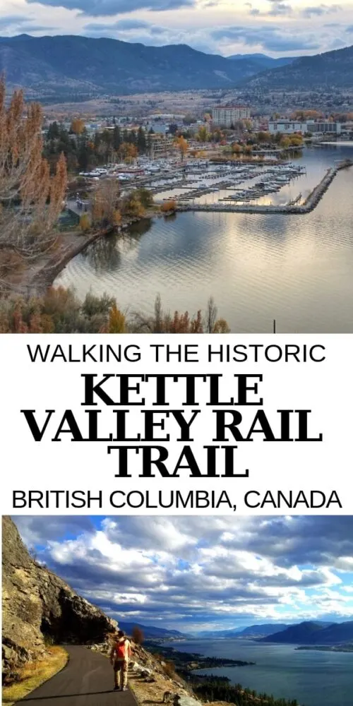
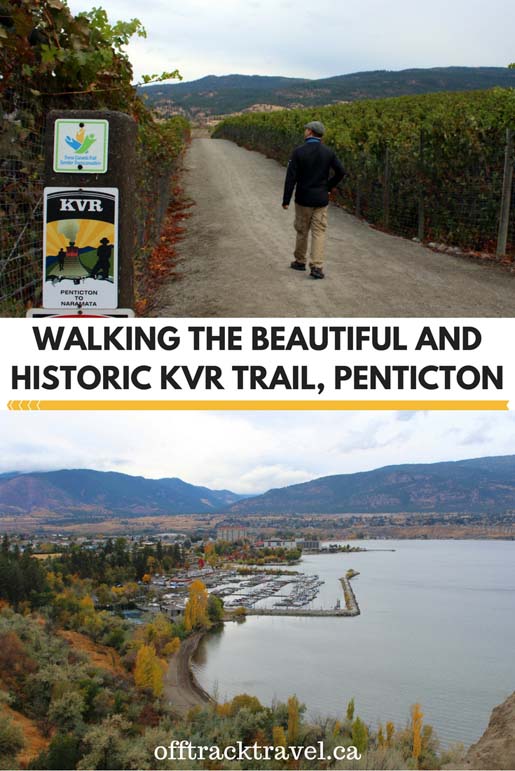
Without a doubt, one of my favourite things about living or visiting Penticton is the Kettle Valley Rail (KVR) Trail.
This scenic path passes less than 1km away from our home and offers unbeatable views of Okanagan Lake, Penticton and the mountain beyond.


Built in 1915, the Kettle Valley Railway line travelled almost 500km between Midway to Hope in British Columbia, Canada.
Since being abandoned in the 1980s, the KVR has become an incredible multi-use (cycling, hiking, horse riding) trail. It is part of the Trans Canada Trail.


The middle section, the one we have personally explored the most, showcases the mountains, vineyards and lakes of the beautiful Okanagan Valley.
Keep reading to discover more about the wonderful Kettle Valley Rail Trail!
There are affiliate links in this post. If you make a qualifying purchase through one of these links, I may receive a small commission at no extra cost to you.


The KVR: Railway to riches
The Kettle Valley Railway was primarily built to serve mining interests in British Columbia’s Southern Interior region.
Canada’s Transcontinental Railway was completed in 1885 but proved to be located too far north to assist with the transportation of goods in the western Kootenay and southern Okanagan region.
Being a border region with the USA, officials in the area were also concerned about American miners flooding the area and taking control. A railway was decided to be the key to maintaining Canadian sovereignty and providing economic prosperity.


Not only used for transporting ore, fruit and other goods from the Okanagan and Kootenays, the KVR had passenger trains too.
It was also a back-up train of sorts for the northern Transcontinental line when avalanches and rock slides caused closures.
Taking twenty years to complete, the Kettle Valley Railway was not in service very long. Portions of the railway began to be discontinued from the early 1960s.
The Kettle Valley Railway (KVR) Trail
The majority of KVR users visit on short hikes or bike rides. It’s easy to understand why, with easy grade (less than 2.2% the whole way) and excellent accessibility along the route.
We’ve spent many a weekend afternoon exploring the trail, during every season of the year.
To help you plan your own KVR hike, I’m going to break down my favourite Okanagan Valley sections. I’ve included the distance, trailhead location, parking, highlights and facilities for each hike.
- All of these suggested routes are low difficulty, with elevation gain/loss being almost non-existent
- The trail surface is mostly gravel and can be dusty on dry days
- Dogs are allowed on leash

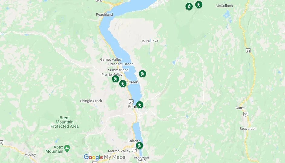
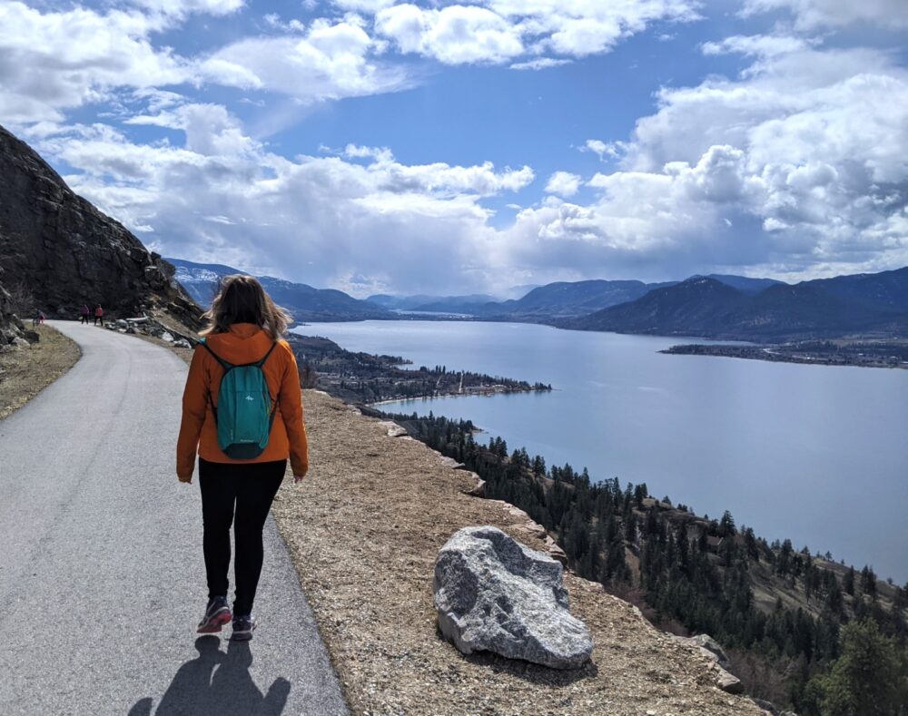
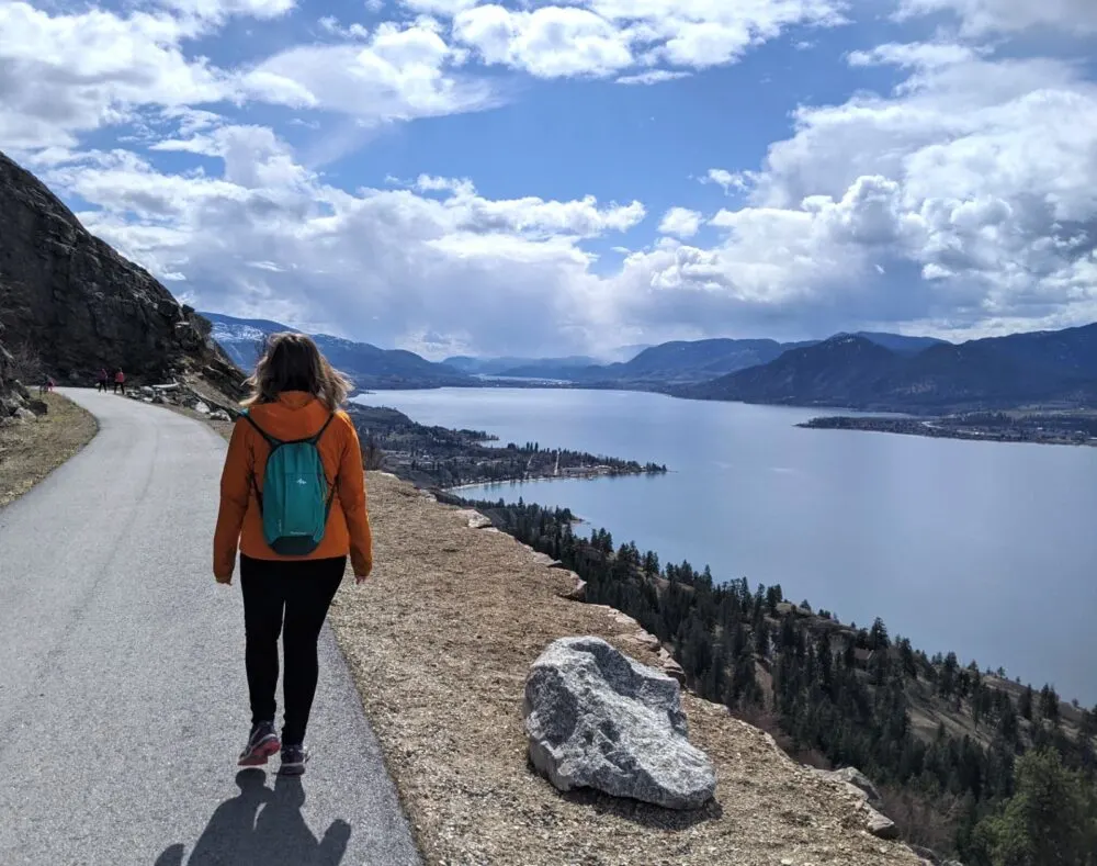
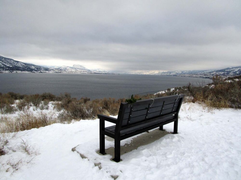
McCulloch Trestle, Penticton
Distance: 5km return
Trailhead: Vancouver Place
Parking: On-street (or walk from downtown Penticton)
Highlights: Sweeping views, Penticton sign, wooden trestle bridge
Facilities: Washrooms at the 1.5km marker, bins, benches
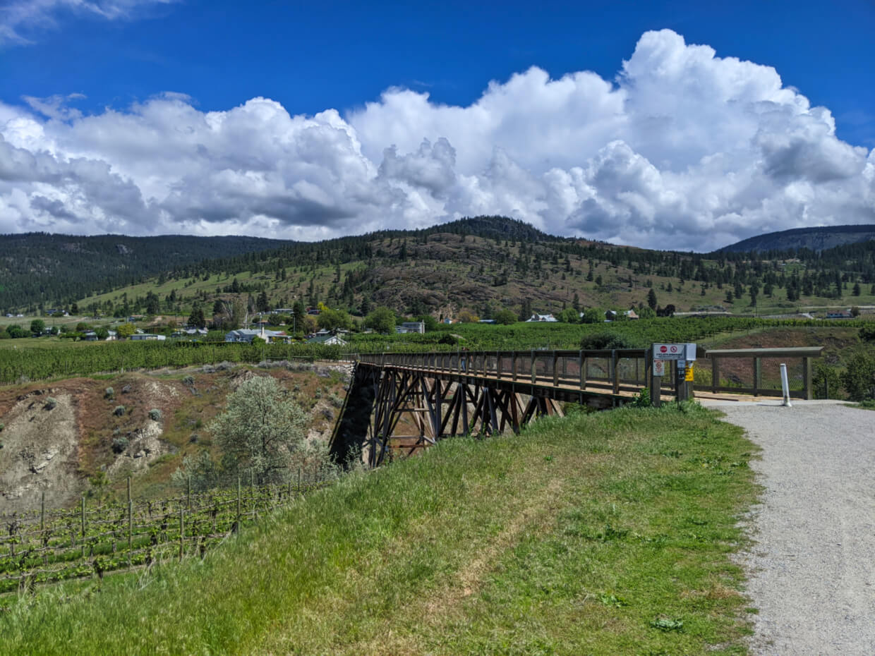
This is our favourite local walk to take visitors on. This short walk offers stunning panoramas of Okanagan Lake, the city of Penticton and surrounding vineyards. The path also passes underneath the huge Penticton sign on Munson Mountain.
The finale to the walk is the McCulloch Trestle, named after the Kettle Valley Railway’s Chief Engineer. The views from this wooden railway bridge are also excellent.
Parking can be tricky on the residential Vancouver Place during busy times, so if you can, I’d recommend parking in Penticton and then walking up Vancouver Hill from the roundabout. This adds about 800m each way.

Extensions
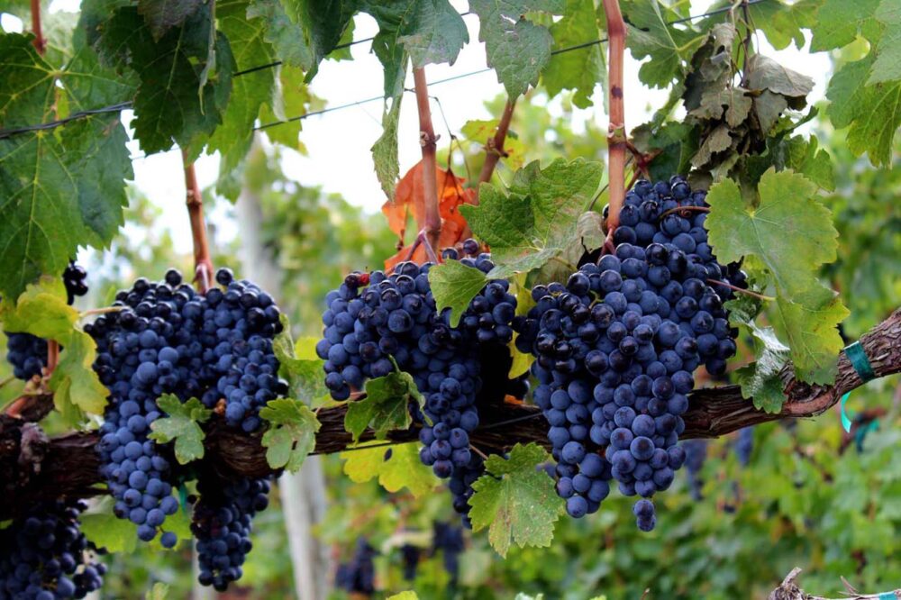
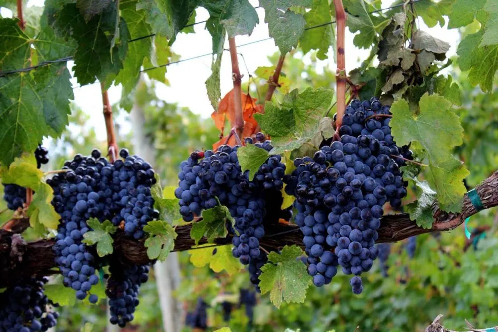
On this section of the KVR, it’s very easy to combine hiking with wine tasting. Just 500m beyond the McCulloch Trestle, the KVR crosses the Lochore Rd. Turn left to walk 300m to D’Angelo Winery (my top pick if you like red wine). Turning right from Lochore will lead you to Ruby Blues or Red Rooster Winery (400m).
An alternative (and non-alcoholic) option is the Trail Store, just 600m beyond the McCulloch Trestle. Usually open from late spring to late summer, the Trail Store serves ice-cream and delicious Ambrosia apple slushies.
Looking to book a stay in Penticton?
Lakeside Villa Inn and Suites – Great value
Penticton Lakeside Resort – Awesome location
House Victoria Bed and Breakfast – Highly rated on Booking.com


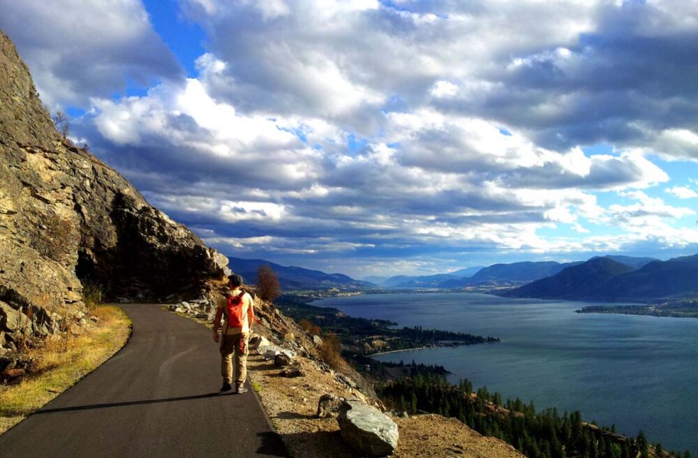
Little Tunnel, Naramata
Distance: 8km return
Trailhead: Smethurst Road
Parking: Large parking lot
Features: Panoramic views (particularly second half), railway tunnel
Facilities: Outhouses in parking lot and at 2km mark
Blasted through pure rock, the 80m long ‘Little Tunnel’ is one of the most impressive sights on the Okanagan Valley section of the KVR Trail. It really helps to set the scene of when steam engines used to power along this route.
Another highlight of this KVR hike is the spectacular views from the Little Tunnel’s high position above Okanagan Lake. From here, you can see Summerland, Penticton and beyond. You do have to earn these views though, with the best outlooks located close to the Little Tunnel itself.
Fun fact – If you know where to look, the Little Tunnel is actually visible from downtown Penticton!
Extensions
Approximately 500m before the Little Tunnel itself is a trail junction for Rock Oven Regional Park. From here, you can hike up to reach another section of the KVR (2km), passing next to a number of rock ovens. These were used by railway workers to make bread while building the KVR.
Feel like some wine tasting after your hike? Consider a stop at Daydreamer Wines or Nichol Vineyard on the drive back down Smethurst Road.


Adra Tunnel, Naramata
Curious why the ‘Little Tunnel’ is named as such? At 489, the Adra Tunnel was the longest tunnel on the KVR and is located just 13km further up the track from the Little Tunnel (towards Chute Lake and Kelowna).
Unfortunately, the Adra Tunnel has been in a partial state of collapse since the 1990s. It is currently only possible to walk 100m in from the northern end.
I would still say it’s worthwhile visiting, especially if you like spooky, abandoned places! It does, however, require a little more effort to reach.
If you have a bike, the Adra Tunnel is a 26km return ride from the Little Tunnel.
The easiest route on foot (if you don’t mind a short drive on a rough, gravel road) is:
- Continue 2.6km along the Naramata Creek Forest Service Road from the Little Tunnel parking lot on Smethurst Road
- Park at the signed staging area (49.602575, -119.550597)
- Follow the Forest Service Road on foot for another 280m to the next switchback (49.605039, -119.550316)
- Hike 200m northwest on the ATV path to reach the KVR Trail (49.606676, -119.551235)
- The collapsed side of the Adra Tunnel is located about 150m to the rightThe other end is a 800m walk in the other direction


Kaleden to Okanagan Falls
Distance: 9.2km return
Trailhead: Pioneer Park, Kaleden
Parking: Large Regional Park parking lot
Features: Lakeside walk, wooden trestle
Facilities: Washrooms in parking lot plus picnic area, beach, BBQ area
This part of the KVR Trail is technically a spur section, an extension of the original Midway to Hope route. From Okanagan Lake to Penticton, the KVR Trail stays low and close to the west side of Skaha Lake.
The lakeside path offers a beautiful and different perspective to the other KVR hikes mentioned here. Look for the peculiarly shaped Peach Cliff looming above Okanagan Falls, created from a violet history of volcanoes, earthquakes and glacial melt.
The final approach to Okanagan Falls reveals a long wooden trestle. Of course, you can also start in Okanagan Falls too and take the opportunity to walk this bridge twice.
From Pioneer Park, walk south along Ponderosa Ave. There is KVR signage and a path next to Ponderosa Point Resort.

Trout Creek Trestle Bridge, Summerland
Distance: 6km return (or less)
Trailhead: Canyon View Road, Summerland
Parking: Couple of off-street parking spots plus on-street parking
Features: 73m high bridge across canyon, views of Okanagan Lake
Facilities: None
The Trout Creek Trestle is the highlight of this KVR hike. This impressive bridge spans a deep canyon and was the highest structure on the KVR (73m).
The trestle is located very close to the parking lot but I’d suggest continuing along the KVR to reach scenic views of Okanagan Lake, Okanagan Mountain Park and the Sun-Oka Beach peninsula. The best views are around the 2.5-3km mark.
A working 1912 steam train runs to the trestle in the summer and for special events. The schedule is posted here. Please note that pedestrians are not allowed on the bridge when the train crosses.


Fenwick Road to Conkle Mountain Gazebo
Distance: 3km return
Trailhead: Fenwick Road, Summerland
Parking: On-street parking
Features: Views, gazebo
Facilities: Outhouse and picnic tables at 1.5km mark
This KVR hike may be short, but it culminates at a gazebo with an stunning view of rural Summerland. Of course, you can continue along the KVR for a longer hike.
To find the trailhead, drive to Fenwick Road in Summerland. Look for the large Trans Canada sign on the right and then park carefully on the other side of the road. Be sure not to block the road as there are houses further on.
From here, walk past the ‘Fenwick Trailhead’ sign and continue around the corner of Fenwick Road. The path is lined by sage brush most of the way. The road ascends gently and then narrows into a trail with KVR Trail signage. Keep right when the trail splits and enjoy the sage brush lined path to the gazebo.

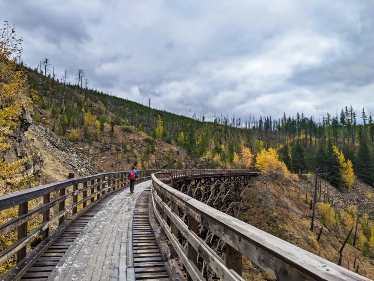
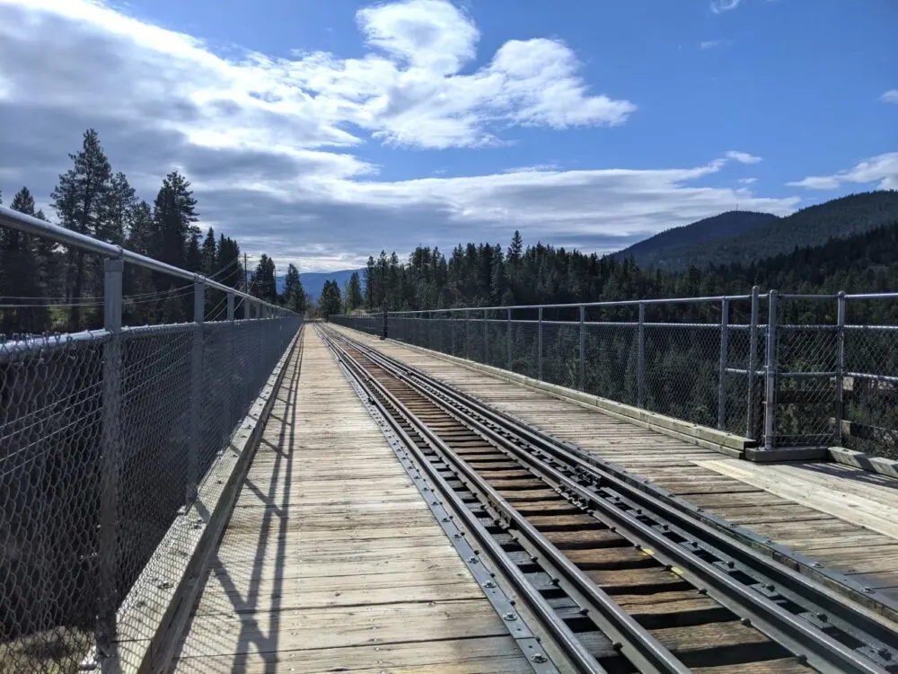
Myra Canyon, Kelowna
Distance: 8km return (or less)
Trailhead: Myra Station, Kelowna
Parking: Large provincial park parking lot
Features: Multiple wooden trestles, tunnels, larch trees, views
Facilities: Outhouses in parking lot and 4km mark, benches
Myra Canyon is undoubtedly the most popular section of the KVR Trail in the Okanagan Valley. The long and wide chasm was a difficult obstacle for the railway planners, with 18 trestle bridges and 2 tunnels required. These magnificent trestle bridges have proved to be exceptionally popular with visitors, however!
The distant views of Kelowna and Okanagan Lake are also pretty impressive, as well as those looking across the canyon to the other trestles. In autumn, the experience becomes even more picturesque as the larch trees around the trail turn golden.
There are two trailheads in Myra Canyon – Myra Station and Ruth Station. I have chosen to feature Myra Station here as it provides a bigger concentration of trestles for hikers.
A 8km return trip from Myra Station takes in 13 trestles (of 18) and 2 tunnels. If that is too long for your group, aim to walk to the 2km marker before turning around (6 trestles total).
Read More: Hiking the Myra Canyon Trestles near Kelowna

The KVR Trail: Essential info
The Kettle Valley Railway had a huge influence on the development of the southern Okanagan area. It now offers some of the best views around as well as an easy gateway to the past.
We love the great accessibility to incredible scenery, tunnels, trestles, wineries and more. The Kettle Valley Rail Trail connects the best of Penticton and more.

Mile 0 of the Kettle Valley Rail Trail is in Midway, British Columbia. The route ends in Hope after 480km of journeying through the valleys and mountains of BC. Additional interconnected pathways and routes takes the total up to around 600km.


The KVR Trail has numerous access points. It is easy to locate these trailheads with the excellent Backroad Mapbook series.
The Okanagan edition covers a large part of the trail but some sections feature in the Vancouver Coast and Kootenay Rockies books.
There are no fees to hike or cycle the KVR Trail.
Cycling the KVR trail as a multi-day trip is an option, with one of the most popular trips starting in Midway and finishing in Penticton. This 320km journey takes around a 5 to 7 days to cycle.
The low gradient path, lack of motorised traffic and multitude of accommodation options en route make cycling the KVR Trail a scenic and relaxing adventure. Enjoy!
PIN this post for later!


If you’re planning a trip to Penticton, you may find these posts helpful:
16 Fast and Fun Hikes in Penticton
The Best Restaurant Patios in Penticton
The Perfect Itinerary for a Summer Weekend in Penticton
74 Things To Do In Penticton and the Southern Okanagan
Adventure in your inbox
Subscribe to our monthly email newsletter and receive a round-up of our latest outdoor adventures plus other exciting beyond the beaten path destinations
We never share your information with third parties and will protect it in accordance with our Privacy Policy
Check out these recently published posts:


One half of the Canadian/British couple behind Off Track Travel, Canada. Jean Robert (JR) is up for anything, but you’re most likely to find him either snowboarding, fishing or building something. Gemma and JR are currently based in the beautiful Okanagan Valley, British Columbia, Canada.
Jacquie
Monday 23rd of May 2022
I am interested in biking a portion of the KVT. Where would you recommend I start and end if I plan on riding 4 days? Any recommendations on spots to over night? Thanks.
Gemma
Tuesday 24th of May 2022
Hi Jacquie,
I'm not much of a cyclist so I'd recommend checking out this website for itinerary ideas :)
Hayley Bennett
Friday 4th of June 2021
Is there an access point to walk on the West side of Skaha Lake?
Gemma
Saturday 5th of June 2021
Hi Hayley,
Yes there is - you can either start from Kaleden, Okanagan Falls or Penticton. The latter is slightly more difficult to access since the trailhead is located within Wright's Beach Camp. There are some dedicated KVR parking spots within the campground.
Frank Bucholtz
Wednesday 28th of April 2021
Thank you for this informative post. My kids and I cycled most of the Midway-Penticton stretch of the KVR in 1998 over a week or so. At that time, we detoured onto Naramata Road to get into Penticton because much of the trail west of the road was inaccessible or in private hands. I assume from your post that the McCulloch Trestle has been built since that time and the trail is now accessible from Naramata Road right to Vancouver Place in Penticton. Is that correct?
Gemma
Wednesday 28th of April 2021
Hi Frank,
That is correct - no detour required now. If you look on Google Maps, you'll see a green trail line that shows exactly where the KVR route goes in the Naramata/Penticton area.
If you are considering another trip on the KVR, I hope you have a great time!
Bonnie
Monday 26th of August 2019
Hi Gemma, thanks for your post! The Vancouver HIll section you refer to, is this the access point at Vancouver Place in Penticton? Thank you. Bonnie
Gemma
Tuesday 27th of August 2019
That's correct!
Sam Cullen
Tuesday 7th of May 2019
I've only ever hiked, biked, or snowshoed the Myra to Ruth Station portion of the KVR. The section down in Penticton looks absolutely beautiful, I think I'm going to have to add it to our hiking list! We'd be coming from Kelowna - which section do you think would be the best for an afternoon hike?
Gemma
Wednesday 8th of May 2019
Hi Sam!
My favourite sections are from Vancouver Hill to Hillside Winery (around 6km return) and to Little Tunnel from Smethurst Road (8km return). The former has easy access to lots of wineries!